11 Bodley Close, Newcastle Upon Tyne, NE3 3SF
About 11 Bodley Close
11 Bodley Close is a mid-terrace house in Newcastle Upon Tyne (NE3 3SF). It has a recorded floor area of 115 m² (around 1238 sq ft), construction records dating it to 1950-1966 and council tax band A. The latest certificate (July 2022) returns a high B (score 85), putting the home a stone's throw from an A rating. When first surveyed in October 2014 the rating was D, the property has climbed 2 bands since. Between certificates, roof efficiency went from Poor to Very Good.
Today's modelled estimate of £152,000 sits 234.6% above the 2014 sale of £45,426. On a £-per-square-foot basis, the last sale (£37/sq ft) was about 52% below the postcode norm. Last sold in May 2014, so it's been off the market for around 12 years.
Everything you need to know about 11 Bodley Close
The true value, the hidden risks and the full sale history, in one report.
30-day money-back guarantee

The data behind every report


Energy performance
EPC Rating
Property Improvements
Changes detected from historical EPC data
Hot water system upgraded
Loft insulation upgraded to recommended levels
Planning history
11 Bodley Close has no planning applications on record.
Notable planning nearby
1applications of note in the surrounding area
Sales history & valuation
11 Bodley Close's estimated value is more than triple its earliest registered sale price (2014).
£152,000
Modelled from EPC, postcode comparables.
£45,426
Recorded with HM Land Registry.
Sales timeline
8 May 2014Most recent
£45,426
Median price across the last 5 sales in NE3 3SF: £94,000 (2021–2007).
Nearby sales in NE3 3SF
6 Bodley Close, Newcastle Upon Tyne, NE3 3SF
Sold Mar 2021
£150,0002 Bodley Close, Newcastle Upon Tyne, NE3 3SF
Sold Feb 2019
£73,0009 Bodley Close, Newcastle Upon Tyne, NE3 3SF
Sold Dec 2011
£94,0001 Bodley Close, Newcastle Upon Tyne, NE3 3SF
Sold Aug 2007
£130,00010 Bodley Close, Newcastle Upon Tyne, NE3 3SF
Sold Jul 2006
£40,000
Versus other Bodley Close homes
On epc rating, 11 Bodley Close stands well clear of the street.
Price per m²
£395
Street avg £880
Floor Area
115 m²
Street avg 110 m²
Habitable Rooms
5 rooms
Street avg 5 rooms
CO₂ Emissions
2.8 t/year
Street avg 4.8 t/year
Everything you need to know about 11 Bodley Close
The true value, the hidden risks and the full sale history, in one report.
30-day money-back guarantee
The data behind every report
Similar properties nearby
The neighbourhood at a glance
Rail-style transport is unusually close for this postcode.
Crime
6/mo
Steady year-on-year across the wider district.
Nearest stop
0.0 km
Hazeldene Avenue-Castle Close — bus stop.
Closest school
0.4 km
St Cuthberts Catholic Primary School, Kenton. 29 schools nearby.
Go deeper on the local area
The full report breaks down crime, transport links, schools and air quality in depth.
Road noise across the postcode
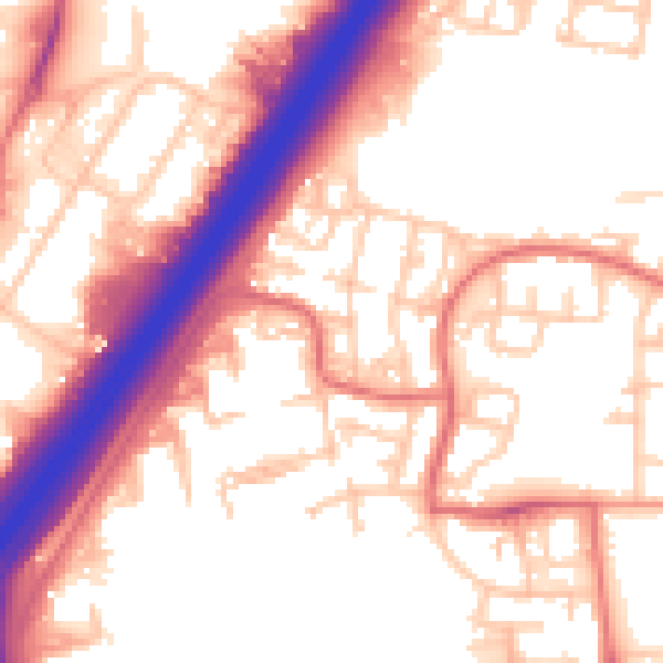
Daytime· 07:00 – 23:00
56.0dB

Night-time· 23:00 – 07:00
46.4dB