10 Bodley Close, Newcastle Upon Tyne, NE3 3SF
About 10 Bodley Close
10 Bodley Close is a three-bedroom mid-terrace house in Newcastle Upon Tyne (NE3 3SF). It has a recorded floor area of 117 m² (around 1259 sq ft), construction records dating it to 1950-1966 and council tax band A. The latest certificate (February 2015) shows a D (score 66), on the cusp of jumping into the C band. The recommended improvements would push it to C (score 75). The latest certificate is from February 2015, so improvements made since then won't be reflected.
It hasn't traded since July 2006, a hold of 20 years that's notably long for the area. Today's modelled estimate of £152,000 sits 280% above the 2006 sale of £40,000. On a £-per-square-foot basis, the last sale (£32/sq ft) was about 58.4% below the postcode norm.
What this property has
Inside
- Bedrooms3
- Bathrooms1
Outside
- Private gardenYes
- GarageYes
Everything you need to know about 10 Bodley Close
The true value, the hidden risks and the full sale history, in one report.
30-day money-back guarantee

The data behind every report


Energy performance
10 Bodley Close's EPC is over a decade old — improvements since won't be reflected.
EPC Expired
This certificate is over 10 years old and is no longer valid.Expired 25 Feb 2025
EPC Rating
Planning history
10 Bodley Close has no planning applications on record.
Notable planning nearby
1applications of note in the surrounding area
Sales history & valuation
10 Bodley Close's estimated value is more than triple its earliest registered sale price (2006).
£152,000
Modelled from EPC, postcode comparables.
£40,000
Recorded with HM Land Registry.
Sales timeline
30 July 2006Most recent
£40,000
Median price across the last 5 sales in NE3 3SF: £81,250 (2021–2011).
Nearby sales in NE3 3SF
6 Bodley Close, Newcastle Upon Tyne, NE3 3SF
Sold Mar 2021
£150,0002 Bodley Close, Newcastle Upon Tyne, NE3 3SF
Sold Feb 2019
£73,00011 Bodley Close, Newcastle Upon Tyne, NE3 3SF
Sold May 2014
£45,4269 Bodley Close, Newcastle Upon Tyne, NE3 3SF
Sold Dec 2011
£94,0001 Bodley Close, Newcastle Upon Tyne, NE3 3SF
Sold Aug 2007
£130,000
Versus other Bodley Close homes
Price per m² for 10 Bodley Close lags the street by a wide margin.
Price per m²
£342
Street avg £898
Floor Area
117 m²
Street avg 109 m²
Habitable Rooms
5 rooms
Street avg 5 rooms
CO₂ Emissions
5.1 t/year
Street avg 4.0 t/year
Everything you need to know about 10 Bodley Close
The true value, the hidden risks and the full sale history, in one report.
30-day money-back guarantee
The data behind every report
Similar properties nearby
The neighbourhood at a glance
Rail-style transport is unusually close for this postcode.
Crime
6/mo
Steady year-on-year across the wider district.
Nearest stop
0.0 km
Hazeldene Avenue-Castle Close — bus stop.
Closest school
0.4 km
St Cuthberts Catholic Primary School, Kenton. 29 schools nearby.
Go deeper on the local area
The full report breaks down crime, transport links, schools and air quality in depth.
Road noise across the postcode
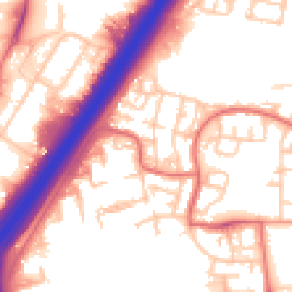
Daytime· 07:00 – 23:00
56.0dB
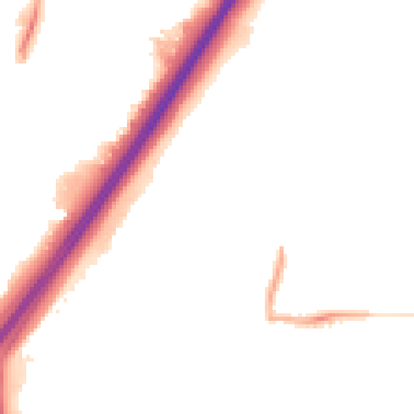
Night-time· 23:00 – 07:00
46.4dB