1 Bromford Road, Newcastle Upon Tyne, NE3 3RA
About 1 Bromford Road
1 Bromford Road is a semi-detached house in Newcastle Upon Tyne (NE3 3RA). It has a recorded floor area of 96 m² (around 1033 sq ft), construction records dating it to 1950-1966 and council tax band A. The latest certificate (June 2009) shows a D (score 56), a step below the typical UK home. The recommended improvements would push it to C (score 76). The latest certificate is from June 2009, so improvements made since then won't be reflected.
Untraded for 16 years, with the last transfer in February 2010. Today's modelled estimate of £137,000 sits 117.5% above the 2010 sale of £63,000. On a £-per-square-foot basis, the last sale (£61/sq ft) was about 45.6% below the postcode norm. It lags the bulk of the postcode on energy efficiency (less efficient than 80% of similar EPCs).
Everything you need to know about 1 Bromford Road
The true value, the hidden risks and the full sale history, in one report.
30-day money-back guarantee

The data behind every report


Energy performance
1 Bromford Road's EPC is over a decade old — improvements since won't be reflected.
EPC Expired
This certificate is over 10 years old and is no longer valid.Expired 30 Jun 2019
EPC Rating
Planning history
1 Bromford Road has no planning applications on record.
Notable planning nearby
1applications of note in the surrounding area
Sales history & valuation
1 Bromford Road valuation sits well clear of the typical sold price in this postcode.
£137,000
Modelled from EPC, postcode comparables.
£63,000
Recorded with HM Land Registry.
Sales timeline
8 February 2010Most recent
£63,000
Median price across the last 5 sales in NE3 3RA: £117,000 (2023–2019).
Nearby sales in NE3 3RA
5 Bromford Road, Newcastle Upon Tyne, NE3 3RA
Sold Jan 2023
£172,0003 Bromford Road, Newcastle Upon Tyne, NE3 3RA
Sold Sept 2022
£117,0002 Bromford Road, Newcastle Upon Tyne, NE3 3RA
Sold May 2021
£162,00013 Bromford Road, Newcastle Upon Tyne, NE3 3RA
Sold Aug 2016
£90,0007 Bromford Road, Newcastle Upon Tyne, NE3 3RA
Sold Feb 2006
£75,000
Versus other Bromford Road homes
1 Bromford Road is notably below the street on epc rating.
Price per m²
£656
Street avg £1,240
Floor Area
96 m²
Street avg 89 m²
Habitable Rooms
4 rooms
Street avg 5 rooms
CO₂ Emissions
5.0 t/year
Street avg 3.5 t/year
Everything you need to know about 1 Bromford Road
The true value, the hidden risks and the full sale history, in one report.
30-day money-back guarantee
The data behind every report
Similar properties nearby
The neighbourhood at a glance
Crime
6/mo
Steady year-on-year across the wider district.
Nearest stop
0.1 km
Hillsview Avenue-Bradwell Road — bus stop.
Closest school
0.1 km
St Cuthberts Catholic Primary School, Kenton. 32 schools nearby.
Go deeper on the local area
The full report breaks down crime, transport links, schools and air quality in depth.
Road noise across the postcode
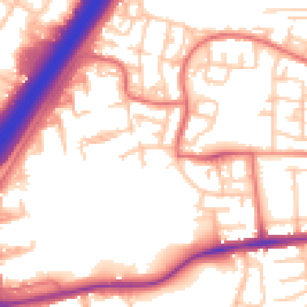
Daytime· 07:00 – 23:00
55.5dB

Night-time· 23:00 – 07:00
45.7dB