6 Holly Avenue, Fawdon, Newcastle Upon Tyne, NE3 2RQ
About 6 Holly Avenue
6 Holly Avenue is a detached house in Fawdon, Newcastle Upon Tyne, Newcastle Upon Tyne (NE3 2RQ). It has a recorded floor area of 86 m² (around 926 sq ft), construction records dating it to 1950-1966 and council tax band C. The latest certificate (November 2024) shows a D (score 65), on the cusp of jumping into the C band. The recommended improvements would lift it to B (score 82), a 2-band jump.
Held since June 2002 — that's 24 years off the open market, well above the local norm. Today's modelled estimate of £246,000 sits 173.5% above the 2002 sale of £89,950. On a £-per-square-foot basis, the last sale (£97/sq ft) was about 40.4% below the postcode norm.
Everything you need to know about 6 Holly Avenue
The true value, the hidden risks and the full sale history, in one report.
30-day money-back guarantee

The data behind every report


Energy performance
Recommended upgrades on file would lift this property by multiple EPC bands.
EPC Rating
Planning history
6 Holly Avenue has no planning applications on record.
The full report still covers planning activity across the surrounding area.
Sales history & valuation
6 Holly Avenue valuation sits well clear of the typical sold price in this postcode.
£246,000
Modelled from EPC, postcode comparables.
£89,950
Recorded with HM Land Registry.
Sales timeline
23 June 2002Most recent
£89,950
Median price across the last 5 sales in NE3 2RQ: £190,000 (2020–2016).
Nearby sales in NE3 2RQ
3 Holly Avenue, Fawdon, Newcastle Upon Tyne, NE3 2RQ
Sold Dec 2020
£190,0004 Holly Avenue, Fawdon, Newcastle Upon Tyne, NE3 2RQ
Sold Oct 2020
£247,87513 Holly Avenue, Fawdon, Newcastle Upon Tyne, NE3 2RQ
Sold Sept 2020
£158,00011 Holly Avenue, Fawdon, Newcastle Upon Tyne, NE3 2RQ
Sold Oct 2019
£170,0009 Holly Avenue, Fawdon, Newcastle Upon Tyne, NE3 2RQ
Sold May 2011
£141,000
Versus other Holly Avenue homes
Price per m² for 6 Holly Avenue lags the street by a wide margin.
Price per m²
£1,046
Street avg £1,830
Floor Area
86 m²
Street avg 92 m²
Habitable Rooms
4 rooms
Street avg 5 rooms
CO₂ Emissions
4.1 t/year
Street avg 5.1 t/year
Everything you need to know about 6 Holly Avenue
The true value, the hidden risks and the full sale history, in one report.
30-day money-back guarantee
The data behind every report
Similar properties nearby
The neighbourhood at a glance
Rail-style transport is unusually close for this postcode.
Crime
6/mo
Steady year-on-year across the wider district.
Nearest stop
0.1 km
Fawdon Lane - Pine Avenue — bus stop.
Closest school
0.4 km
Regent Farm First School. 23 schools nearby.
Go deeper on the local area
The full report breaks down crime, transport links, schools and air quality in depth.
Road noise across the postcode
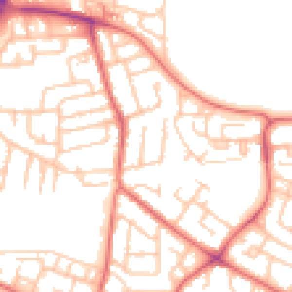
Daytime· 07:00 – 23:00
52.4dB

Night-time· 23:00 – 07:00
40.5dB