2 Belsay Gardens, Newcastle Upon Tyne, NE3 2AU
About 2 Belsay Gardens
2 Belsay Gardens is an end-of-terrace house in Newcastle Upon Tyne (NE3 2AU). It has a recorded floor area of 29 m² (around 312 sq ft), construction records dating it to 1976-1982 and council tax band A. The latest certificate (February 2020) shows a D (score 60), on the cusp of jumping into the C band. The rating has held steady at D across 2 certificates since March 2013. Between certificates, wall efficiency went from Poor to Good; while hot-water efficiency dropped from Average to Poor and main heating dropped from Average to Very Poor. The recommended improvements would push it to C (score 78). Main heating runs on electricity.
Everything you need to know about 2 Belsay Gardens
The true value, the hidden risks and the full sale history, in one report.
30-day money-back guarantee

The data behind every report


Energy performance
EPC Rating
Property Improvements
Changes detected from historical EPC data
Heating system changed
Heating controls upgraded for better temperature management
Hot water efficiency decreased
Cavity wall insulation installed
Planning history
2 Belsay Gardens has no planning applications on record.
The full report still covers planning activity across the surrounding area.
Sales history & valuation
2 Belsay Gardens has no Land Registry sales on file, suggesting it has stayed in the same hands since registration began.
£110,000
Modelled from EPC, postcode comparables.
No sales recorded with HM Land Registry
That can mean the property has never traded since the registry began publishing in 1995, was a new build that hasn't been registered yet, or is held in the same hands long-term.
Median price across the last 5 sales in NE3 2AU: £65,000 (2023–2023).
Nearby sales in NE3 2AU
28 Belsay Gardens, Newcastle Upon Tyne, NE3 2AU
Sold Dec 2023
£230,00027 Belsay Gardens, Newcastle Upon Tyne, NE3 2AU
Sold Dec 2023
£62,50022 Belsay Gardens, Newcastle Upon Tyne, NE3 2AU
Sold Aug 2023
£65,00014 Belsay Gardens, Newcastle Upon Tyne, NE3 2AU
Sold Mar 2023
£65,00016 Belsay Gardens, Newcastle Upon Tyne, NE3 2AU
Sold Feb 2023
£53,000
Versus other Belsay Gardens homes
EPC Rating
60 (D)
Street avg 58 (D)
Floor Area
29 m²
Street avg 36 m²
CO₂ Emissions
2.6 t/year
Street avg 2.9 t/year
Habitable Rooms
2 rooms
Street avg 2 rooms
Everything you need to know about 2 Belsay Gardens
The true value, the hidden risks and the full sale history, in one report.
30-day money-back guarantee
The data behind every report
Similar properties nearby
The neighbourhood at a glance
Rail-style transport is unusually close for this postcode.
Crime
6/mo
Steady year-on-year across the wider district.
Nearest stop
0.1 km
Belsay Gardens — bus stop.
Closest school
0.3 km
North Fawdon Primary School. 21 schools nearby.
Go deeper on the local area
The full report breaks down crime, transport links, schools and air quality in depth.
Road noise across the postcode
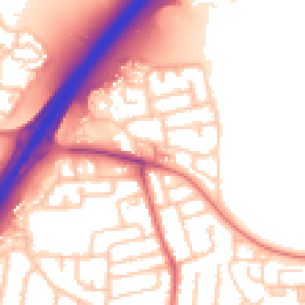
Daytime· 07:00 – 23:00
55.8dB

Night-time· 23:00 – 07:00
45.4dB