43a, The Grove, Gosforth, Newcastle Upon Tyne, NE3 1NH
About 43a
43a is a detached house in Gosforth, Newcastle Upon Tyne, Newcastle Upon Tyne (NE3 1NH). It has a recorded floor area of 192 m² (around 2067 sq ft), construction records dating it to 1950-1966 and council tax band F. The latest certificate (April 2025) shows a D (score 64), on the cusp of jumping into the C band. The recommended improvements would push it to C (score 79).
At 192 m² the property is well over the postcode median (59 m² across 47 EPCs), placing it in the larger end of the local stock. 3 planning records sit against the property, 0 approved, 0 refused.
Everything you need to know about 43a
The true value, the hidden risks and the full sale history, in one report.
30-day money-back guarantee

The data behind every report


Energy performance
43a's carbon output runs well above what efficient homes in the postcode produce.
EPC Rating
Planning history
- Mar 2026ExtensionFullIn report
Extension: Single storey
Erection of single storey extensions to front and side, two dormer windows to rear, and alteration to external materials.
- Reference
- 2026/0388/01/HOU
- Aug 2008Tree WorksTreesIn report
Tree in a Conservation Area Notification: Removal of Conifer
- Documents
- 5 docs on file
- Reference
- 2008/1288/01/TCA
What's in 43a, The Grove, Gosforth, Newcastle Upon Tyne, NE3 1NH's planning history?
1 more on this property, plus refusals, disputes and full decisions nearby, in the report.
Sales history & valuation
43a has no Land Registry sales on file, suggesting it has stayed in the same hands since registration began.
£673,000
Modelled from EPC, postcode comparables.
No sales recorded with HM Land Registry
That can mean the property has never traded since the registry began publishing in 1995, was a new build that hasn't been registered yet, or is held in the same hands long-term.
Median price across the last 5 sales in NE3 1NH: £128,000 (2022–2019).
Nearby sales in NE3 1NH
42 The Grove, Gosforth, Newcastle Upon Tyne, NE3 1NH
Sold Jul 2022
£1,450,000Ettrick Lodge, Flat 8, 36 The Grove, Gosforth, Newcastle Upon Tyne, NE3 1NH
Sold Feb 2022
£110,000Ettrick Lodge, Flat 4, 36 The Grove, Gosforth, Newcastle Upon Tyne, NE3 1NH
Sold Feb 2020
£131,500Ettrick Lodge, Flat 14, 36 The Grove, Gosforth, Newcastle Upon Tyne, NE3 1NH
Sold Oct 2019
£125,000Ettrick Lodge, Flat 31, 36 The Grove, Gosforth, Newcastle Upon Tyne, NE3 1NH
Sold Sept 2019
£128,000
Versus other The Grove homes
On floor area, 43a runs well behind the street norm.
EPC Rating
64 (D)
Street avg 52 (E)
Floor Area
192 m²
Street avg 378 m²
CO₂ Emissions
8.2 t/year
Street avg 20.3 t/year
Habitable Rooms
6 rooms
Street avg 10 rooms
Everything you need to know about 43a
The true value, the hidden risks and the full sale history, in one report.
30-day money-back guarantee
The data behind every report
Similar properties nearby
1 Belle Vue Avenue
NE3 1AH
1 Beaumont Terrace, Gosforth
NE3 1AS
1 Bath Terrace
NE3 1UH
1 Broadwell Court
NE3 1YS
1 Avondale Court, Rectory Road
NE3 1XQ
1 Archibald Street
NE3 1EB
1 Craghall Dene Avenue
NE3 1QR
1 Balmoral Avenue
NE3 1YE
The neighbourhood at a glance
Rail-style transport is unusually close for this postcode.
Crime
6/mo
Steady year-on-year across the wider district.
Nearest stop
0.4 km
High Street-The Grove — bus stop.
Closest school
0.4 km
South Gosforth First School. 29 schools nearby.
Go deeper on the local area
The full report breaks down crime, transport links, schools and air quality in depth.
Road noise across the postcode
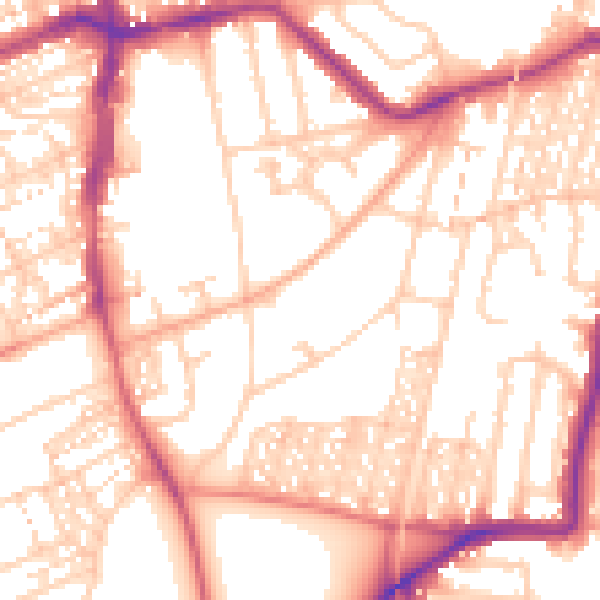
Daytime· 07:00 – 23:00
54.6dB

Night-time· 23:00 – 07:00
44.0dB