10 St Georges Terrace, Jesmond, Newcastle Upon Tyne, NE2 2SY
About 10 St Georges Terrace
10 St Georges Terrace is a mid-terrace house in Jesmond, Newcastle Upon Tyne, Newcastle Upon Tyne (NE2 2SY). It has a recorded floor area of 229 m² (around 2465 sq ft), construction records dating it to 1900-1929 and council tax band E. The latest certificate (February 2026) shows a C (score 70). When first surveyed in October 2009 the rating was E, the property has climbed 2 bands since. Between certificates, wall efficiency went from Very Poor to Poor, roof efficiency went from Very Poor to Average and hot-water efficiency went from Poor to Good. The recommended improvements would push it to B (score 81). This certificate was lodged in the last six months, so the rating reflects current condition.
Across 2000–2024, sale prices on this property compounded at 4.4% per year. Today's modelled estimate of £593,000 is 15.2% below the 2024 sale of £699,000, a rare downward gap that often correlates with deferred maintenance or unfinished works. On a £-per-square-foot basis, the last sale (£284/sq ft) was about 35% above the typical sold price in the postcode. At 229 m² the property is well over the postcode median (72 m² across 47 EPCs), placing it in the larger end of the local stock. Most recent transfer: April 2024 at £699,000.
Know exactly what you're buying at 10 St Georges Terrace
Before you offer, see what the listing won't tell you, the true value, the red flags and the full history.
Already flagged here
Valuation
against the asking price
Risks
planning & flood
Sold prices
similar homes nearby
Trends
the local market
Energy performance
10 St Georges Terrace's carbon output runs well above what efficient homes in the postcode produce.
EPC Rating
Property Improvements
Changes detected from historical EPC data
Heating controls upgraded for better temperature management
Hot water system upgraded
Windows upgraded, improving insulation
Low energy lighting percentage decreased
Wall insulation improved
Loft insulation installed or upgraded to 250mm+
More low energy lighting installed
Planning history
10 St Georges Terrace has no planning applications on record.
Notable planning nearby
12applications of note in the surrounding area
We flagged 1 thing worth checking at 10 St Georges Terrace
Independent checks surfaced things a buyer would want to understand before offering. The report explains each one in full, with the underlying data and what to ask.
- Signs of HMO activity in the area
30-day money-back guarantee
Sales history & valuation
Latest sale on 10 St Georges Terrace was the highest on Land Registry record across the postcode.
£593,000
Modelled from EPC, postcode comparables and a sale-price growth of 4.4% per year over 24 years.
£699,000
Growth on file: 4.4% per year over 24 years.
Sales timeline
30 April 2024Most recent
£699,000
+179.6%over 23 years17 September 2000
£249,999
Median price across the last 5 sales in NE2 2SY: £260,000 (2025–2024).
Nearby sales in NE2 2SY
26 St Georges Terrace, Jesmond, Newcastle Upon Tyne, NE2 2SY
Sold Mar 2025
£312,86012 St Georges Terrace, Jesmond, Newcastle Upon Tyne, NE2 2SY
Sold Feb 2025
£623,40038c, St Georges Terrace, Jesmond, Newcastle Upon Tyne, NE2 2SY
Sold Dec 2024
£183,00038b, St Georges Terrace, Jesmond, Newcastle Upon Tyne, NE2 2SY
Sold Dec 2024
£220,000Flat 1, 4 St Georges Terrace, Jesmond, Newcastle Upon Tyne, NE2 2SY
Sold Jul 2024
£260,000
Everything we know about 10 St Georges Terrace, in one report
What it's really worth, what could be wrong, and the planning, sales and area data in full.
What we flagged
- Signs of HMO activity in the area

Versus other St Georges Terrace homes
Price per m² for 10 St Georges Terrace runs comfortably ahead of the street norm.
Price per m²
£3,052
Street avg £2,074
Floor Area
229 m²
Street avg 231 m²
Habitable Rooms
10 rooms
Street avg 9 rooms
CO₂ Emissions
7.1 t/year
Street avg 11.3 t/year
Similar properties nearby
The neighbourhood at a glance
Rail-style transport is unusually close for this postcode.
Crime
5/mo
Steady year-on-year across the wider district.
Nearest stop
0.1 km
Osborne Road-Mistletoe Road — bus stop.
Closest school
0.2 km
West Jesmond Primary School. 33 schools nearby.
Go deeper on the local area
The full report breaks down crime, transport links, schools and air quality in depth.
Road noise across the postcode
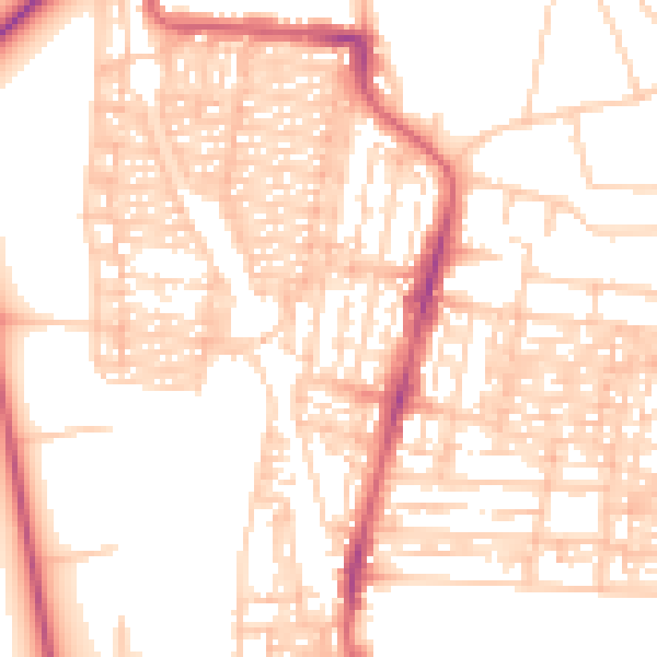
Daytime· 07:00 – 23:00
53.7dB
Night-time· 23:00 – 07:00
42.1dB