18 Amble Grove, Newcastle Upon Tyne, NE2 1NY
About 18 Amble Grove
18 Amble Grove is a two-bedroom mid-terrace house in Newcastle Upon Tyne (NE2 1NY). It has a recorded floor area of 60 m² (around 646 sq ft), construction records dating it to 1900-1929 and council tax band A. The latest certificate (July 2012) shows a D (score 68), on the cusp of jumping into the C band. Earlier certificates rated it C (November 2009); the latest reading is one band lower. Between certificates, wall efficiency went from Very Poor to Poor; while hot-water efficiency dropped from Very Good to Good and main heating dropped from Very Good to Good. The recommended improvements would push it to C (score 76). The latest certificate is from July 2012, so improvements made since then won't be reflected. At 60 m² this is the 5th smallest of 39 units on EPC record in the building, where floor areas span 55–168 m². The building's EPC ratings span E to C across 39 units on file.
8 years since the last transfer (December 2017). Across the public record there are 4 sales, relatively high churn for a single property. Across 1998–2017, sale prices on this property compounded at 5.5% per year. Today's modelled estimate of £165,000 is 21.8% above the 2017 sale price. On a £-per-square-foot basis, the last sale (£210/sq ft) was about 33.6% above the typical sold price in the postcode.
Know exactly what you're buying at 18 Amble Grove
Before you offer, see what the listing won't tell you, the true value, the red flags and the full history.
Already flagged here
Valuation
against the asking price
Risks
planning & flood
Sold prices
similar homes nearby
Trends
the local market
What this property has
Inside
- Bedrooms2
- Bathrooms1
Outside
- Private gardenSouth-facing
Building
- Central heatingYes
Energy performance
18 Amble Grove's EPC is over a decade old — improvements since won't be reflected.
EPC Expired
This certificate is over 10 years old and is no longer valid.Expired 22 Jul 2022
EPC Rating
Property Improvements
Changes detected from historical EPC data
Hot water efficiency decreased
Wall insulation improved
Planning history
18 Amble Grove has no planning applications on record.
Notable planning nearby
4applications of note in the surrounding area
We flagged 1 thing worth checking at 18 Amble Grove
Independent checks surfaced things a buyer would want to understand before offering. The report explains each one in full, with the underlying data and what to ask.
- Signs of HMO activity in the area
30-day money-back guarantee
Sales history & valuation
Sale price has at least doubled since 1998.
£165,000
Modelled from EPC, postcode comparables and a sale-price growth of 5.5% per year over 19 years.
£135,500
Growth on file: 5.5% per year over 19 years.
Sales timeline
15 December 2017Most recent
£135,500
19 February 2015
£135,000
+45.2%over 12 years22 November 2002
£92,950
+93.6%over 4 years27 August 1998
£48,000
Median price across the last 5 sales in NE2 1NY: £205,000 (2025–2024).
Nearby sales in NE2 1NY
50 Amble Grove, Newcastle Upon Tyne, NE2 1NY
Sold Aug 2025
£322,00036 Amble Grove, Newcastle Upon Tyne, NE2 1NY
Sold Jul 2025
£210,00035 Amble Grove, Newcastle Upon Tyne, NE2 1NY
Sold Apr 2024
£205,00051 Amble Grove, Newcastle Upon Tyne, NE2 1NY
Sold Mar 2024
£180,00049 Amble Grove, Newcastle Upon Tyne, NE2 1NY
Sold Mar 2024
£180,000
Everything we know about 18 Amble Grove, in one report
What it's really worth, what could be wrong, and the planning, sales and area data in full.
What we flagged
- Signs of HMO activity in the area

Versus other Amble Grove homes
On floor area, 18 Amble Grove runs well behind the street norm.
Price per m²
£2,258
Street avg £1,901
Floor Area
60 m²
Street avg 74 m²
Habitable Rooms
3 rooms
Street avg 4 rooms
CO₂ Emissions
2.6 t/year
Street avg 3.2 t/year
Similar properties nearby
1 Middleton Court, Hutton Terrace, Jesmond
NE2 1QY
1 Deneside Court
NE2 1EZ
1 Grosvenor Gardens
NE2 1HQ
1 Brandling Court, Akenside Terrace
NE2 1TN
1 Greystoke Gardens
NE2 1PL
1 Copland Terrace
NE2 1YB
1 Beadnell Place
NE2 1YD
1 Fernwood, Clayton Road
NE2 1TL
The neighbourhood at a glance
Crime
5/mo
Steady year-on-year across the wider district.
Nearest stop
0.1 km
Dinsdale Road — bus stop.
Closest school
0.2 km
St Catherine's Catholic Primary School. 29 schools nearby.
Go deeper on the local area
The full report breaks down crime, transport links, schools and air quality in depth.
Road noise across the postcode
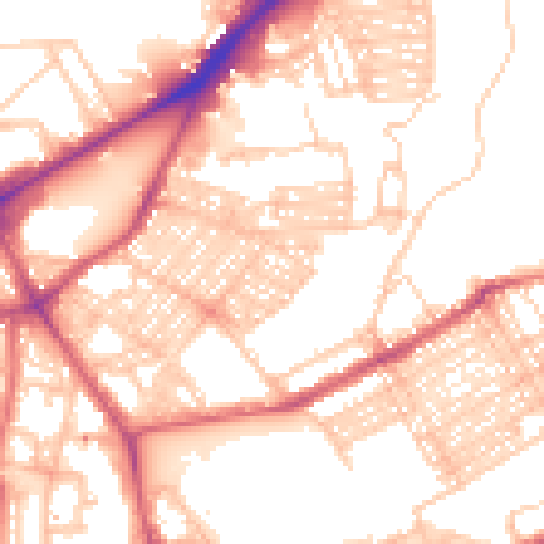
Daytime· 07:00 – 23:00
55.0dB

Night-time· 23:00 – 07:00
43.6dB