149 Dinsdale Road, Newcastle Upon Tyne, NE2 1DP
About 149 Dinsdale Road
149 Dinsdale Road is a two-bedroom mid-terrace house in Newcastle Upon Tyne (NE2 1DP). It has a recorded floor area of 68 m² (around 732 sq ft), construction records dating it to 1900-1929 and council tax band A. The latest certificate (May 2021) shows a D (score 67), on the cusp of jumping into the C band. The rating has held steady at D across 2 certificates since March 2010. Between certificates, hot-water efficiency went from Average to Good and main heating went from Average to Good; while roof efficiency dropped from Good to Average. The recommended improvements would push it to C (score 77). At 68 m² this is the 19th smallest of 47 units on EPC record in the building, where floor areas span 55–160 m². The building's EPC ratings span E to C across 47 units on file. The home occupies a corner plot.
Across 2000–2021, sale prices on this property compounded at 4.4% per year. Today's modelled estimate of £176,000 is 17.3% above the 2021 sale price. On a £-per-square-foot basis, the last sale (£205/sq ft) was about 34.8% above the typical sold price in the postcode. Sold September 2021 for £150,000. That sale was during the post-pandemic price surge, when transactions cleared materially above pre-2020 trend.
Know exactly what you're buying at 149 Dinsdale Road
Before you offer, see what the listing won't tell you, the true value, the red flags and the full history.
Already flagged here
Valuation
against the asking price
Risks
planning & flood
Sold prices
similar homes nearby
Trends
the local market
What this property has
Inside
- Bedrooms2
- Bathrooms1
- CloakroomYes
Outside
- Private gardenYes
- Corner plotYes
Building
- Heating systemGas
Energy performance
EPC Rating
Property Improvements
Changes detected from historical EPC data
Heating controls upgraded for better temperature management
Hot water efficiency improved
Planning history
149 Dinsdale Road has no planning applications on record.
Notable planning nearby
4applications of note in the surrounding area
We flagged 1 thing worth checking at 149 Dinsdale Road
Independent checks surfaced things a buyer would want to understand before offering. The report explains each one in full, with the underlying data and what to ask.
- Signs of HMO activity in the area
30-day money-back guarantee
Sales history & valuation
Sale price has at least doubled since 2000.
£176,000
Modelled from EPC, postcode comparables and a sale-price growth of 4.4% per year over 22 years.
£150,000
Growth on file: 4.4% per year over 22 years.
Sales timeline
2 September 2021Most recent
£150,000
-10.2%over 14 years2 September 2007
£167,000
+178.3%over 7 years29 February 2000
£59,999
Median price across the last 5 sales in NE2 1DP: £165,250 (2024–2021).
Nearby sales in NE2 1DP
99 Dinsdale Road, Newcastle Upon Tyne, NE2 1DP
Sold Sept 2024
£165,250167 Dinsdale Road, Newcastle Upon Tyne, NE2 1DP
Sold Jan 2024
£180,000139 Dinsdale Road, Newcastle Upon Tyne, NE2 1DP
Sold Feb 2022
£158,00097 Dinsdale Road, Newcastle Upon Tyne, NE2 1DP
Sold Dec 2021
£2,610,527147 Dinsdale Road, Newcastle Upon Tyne, NE2 1DP
Sold Sept 2021
£150,000
Everything we know about 149 Dinsdale Road, in one report
What it's really worth, what could be wrong, and the planning, sales and area data in full.
What we flagged
- Signs of HMO activity in the area

Versus other Dinsdale Road homes
On years held, 149 Dinsdale Road runs well behind the street norm.
Price per m²
£2,206
Street avg £1,885
Floor Area
68 m²
Street avg 76 m²
Habitable Rooms
3 rooms
Street avg 4 rooms
CO₂ Emissions
3.0 t/year
Street avg 3.4 t/year
Similar properties nearby
1 Middleton Court, Hutton Terrace, Jesmond
NE2 1QY
1 Grosvenor Gardens
NE2 1HQ
1 Deneside Court
NE2 1EZ
1 Brandling Court, Akenside Terrace
NE2 1TN
1 Greystoke Gardens
NE2 1PL
1 Copland Terrace
NE2 1YB
1 Beadnell Place
NE2 1YD
1 Fernwood, Clayton Road
NE2 1TL
The neighbourhood at a glance
Rail-style transport is unusually close for this postcode.
Crime
5/mo
Steady year-on-year across the wider district.
Nearest stop
0.1 km
Dinsdale Road — bus stop.
Closest school
0.2 km
St Catherine's Catholic Primary School. 30 schools nearby.
Go deeper on the local area
The full report breaks down crime, transport links, schools and air quality in depth.
Road noise across the postcode
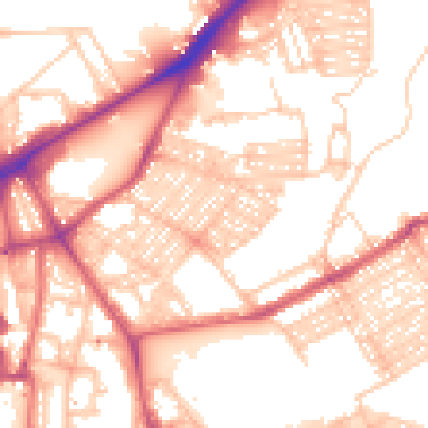
Daytime· 07:00 – 23:00
55.5dB

Night-time· 23:00 – 07:00
44.1dB