Model valuation£417,0008 Busby Close
Local market context
The Gables is a detached house in Sunniside, Newcastle Upon Tyne, Newcastle Upon Tyne (NE16 5LE). It has a recorded floor area of 152 m² (around 1636 sq ft) and construction records dating it to 1930-1949. The latest certificate (July 2023) shows a C (score 71). When first surveyed in January 2013 the rating was D, the property has climbed 1 band since. Between certificates, lighting went from Good to Very Good; while wall efficiency dropped from Good to Average and window efficiency dropped from Good to Average.
Sold November 2023 for £425,000. Across the public record there are 4 sales, relatively high churn for a single property. 2 planning records sit against the property, 2 approved, 0 refused. Past consents include an extension, meaningful when judging how the property has evolved. At 152 m² it's 20.6% larger than the typical home in the postcode (126 m² median across 7 EPCs). Its energy rating outperforms most of the postcode (better than 86% of similar EPCs). Across 2003–2023, sale prices on this property compounded at 6.3% per year.
The true value, the hidden risks and the full sale history, in one report.
Pick your report · from £14.99
One time fee only - money back guarantee

The data behind every report


Certificate validity
Valid until 4 July 2033
Changes detected from historical EPC data
Heating controls upgraded for better temperature management
More low energy lighting installed

Get a survey for this property
We've checked 10 risk factors against the available data for this property and believe a Level 2 HomeBuyer Report could be a suitable option for you.
From £695 · Includes VAT
The Gables has an approved single-storey rear extension on the planning record.
2 applications on record at The Gables, Streetgate, Sunniside, Newcastle Upon Tyne, NE16 5LE
Change of use from public open space to private curtilage (part retrospective).
You're seeing the shape of it. The report has the substance.
One time fee only - money back guarantee
Sale price has grown by over 3x since 2003.
£443,000
Modelled from EPC, postcode comparables and a sale-price growth of 6.3% per year over 21 years.
£425,000
Growth on file: 6.3% per year over 21 years.
23 November 2023Most recent
£425,000
+117.9%over 9 years24 April 2014
£195,000
-7.1%over 6 years5 July 2007
£210,000
+75.0%over 4 years14 March 2003
£120,000
Median price across the last 5 sales in NE16 5LE: £362,000 (2025–2020).
West View, Streetgate, Sunniside, Newcastle Upon Tyne, NE16 5LE
Sold Feb 2025
Woodlands View, Streetgate, Sunniside, Newcastle Upon Tyne, NE16 5LE
Sold Jul 2023
Greenbank, Streetgate, Sunniside, Newcastle Upon Tyne, NE16 5LE
Sold Jun 2023
The Bungalow, Streetgate, Sunniside, Newcastle Upon Tyne, NE16 5LE
Sold Mar 2023
Granby Cottage, Streetgate, Sunniside, Newcastle Upon Tyne, NE16 5LE
Sold Sept 2020
The Gables outperforms the street on habitable rooms by a wide margin.
Price per m²
£2,796
Street avg £2,433
Floor Area
152 m²
Street avg 134 m²
Habitable Rooms
7 rooms
Street avg 6 rooms
CO₂ Emissions
5.5 t/year
Street avg 8.3 t/year
Property research, connected
Explore sale histories, valuations, energy ratings and local areas. Ask the assistant to connect the details and take your research further.
Start your researchNE16 5YR
NE16 5JJ
NE16 5RJ
NE16 5QF
NE16 5QS
NE16 5EL
NE16 5JF
NE16 5QL
Daytime road noise here sits well below conversation level — a quiet pocket of the postcode.
Crime
108/mo
Falling year-on-year across the wider district.
Nearest stop
0.2 km
Gateshead Road-Pennyfine Road — bus stop.
Closest school
1.3 km
Washingwell Community Primary School. 11 schools nearby.
Go deeper on the local area
A Local Area report breaks down crime, transport links, schools and air quality in depth.
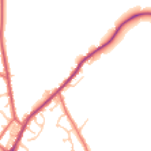
Daytime· 07:00 – 23:00
47.7dB
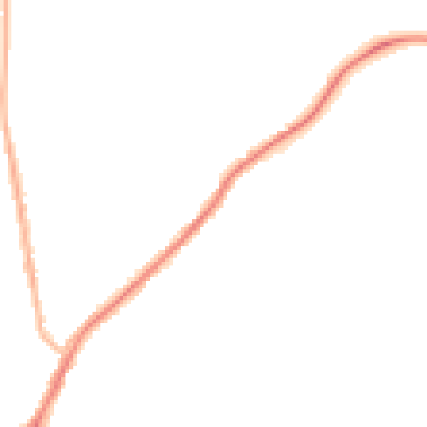
Night-time· 23:00 – 07:00
40.7dB