22 Blagdon Close, Newcastle Upon Tyne, NE1 2JH
About 22 Blagdon Close
22 Blagdon Close is a detached house in Newcastle Upon Tyne (NE1 2JH). It has a recorded floor area of 45 m² (around 484 sq ft), construction records dating it to 1967-1975 and council tax band A. The latest certificate (November 2012) shows a D (score 64), on the cusp of jumping into the C band. The recommended improvements would lift it to B (score 87), a 2-band jump. The latest certificate is from November 2012, so improvements made since then won't be reflected.
It lags the bulk of the postcode on energy efficiency (less efficient than 76% of similar EPCs).
Everything you need to know about 22 Blagdon Close
The true value, the hidden risks and the full sale history, in one report.
30-day money-back guarantee

The data behind every report


Energy performance
Recommended upgrades on file would lift this property by multiple EPC bands.
EPC Expired
This certificate is over 10 years old and is no longer valid.Expired 29 Nov 2022
EPC Rating
Planning history
22 Blagdon Close has no planning applications on record.
Notable planning nearby
3applications of note in the surrounding area
Sales history & valuation
22 Blagdon Close has no Land Registry sales on file, suggesting it has stayed in the same hands since registration began.
£168,000
Modelled from EPC, postcode comparables.
No sales recorded with HM Land Registry
That can mean the property has never traded since the registry began publishing in 1995, was a new build that hasn't been registered yet, or is held in the same hands long-term.
Median price across the last 5 sales in NE1 2JH: £54,950 (2020–2010).
Nearby sales in NE1 2JH
23 Blagdon Close, Newcastle Upon Tyne, NE1 2JH
Sold Oct 2020
£44,50081 Blagdon Close, Newcastle Upon Tyne, NE1 2JH
Sold Mar 2018
£61,00077 Blagdon Close, Newcastle Upon Tyne, NE1 2JH
Sold Feb 2014
£54,95083 Blagdon Close, Newcastle Upon Tyne, NE1 2JH
Sold Sept 2013
£43,00045 Blagdon Close, Newcastle Upon Tyne, NE1 2JH
Sold Aug 2010
£68,000
Versus other Blagdon Close homes
EPC Rating
64 (D)
Street avg 63 (D)
Floor Area
45 m²
Street avg 47 m²
CO₂ Emissions
2.6 t/year
Street avg 2.6 t/year
Habitable Rooms
2 rooms
Street avg 2 rooms
Everything you need to know about 22 Blagdon Close
The true value, the hidden risks and the full sale history, in one report.
30-day money-back guarantee
The data behind every report
Similar properties nearby
1 Mews Gardens, Tower Street
NE1 2HW
10 Mariners Wharf, Quayside
NE1 2BJ
10 Manor Chare Apartments, Manor Chare
NE1 2EQ
1 Breamish Quays, Breamish Street
NE1 2DZ
1 High Quay, City Road
NE1 2PD
1 Mariners Wharf, Quayside
NE1 2BJ
10 Lime Square, City Road
NE1 2BA
1 Manor Chare Apartments, Manor Chare
NE1 2EQ
The neighbourhood at a glance
Rail-style transport is unusually close for this postcode.
Crime
14/mo
Rising year-on-year across the wider district.
Nearest stop
0.1 km
City Road-Grenville Terrace — bus stop.
Closest school
0.3 km
Christ Church CofE Primary School. 33 schools nearby.
Go deeper on the local area
The full report breaks down crime, transport links, schools and air quality in depth.
Road noise across the postcode
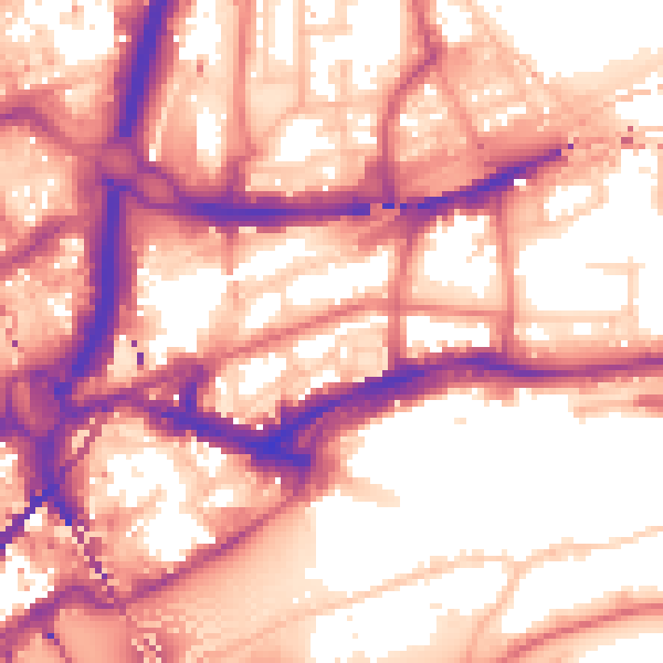
Daytime· 07:00 – 23:00
59.0dB

Night-time· 23:00 – 07:00
49.2dB