23 Blagdon Close, Newcastle Upon Tyne, NE1 2JH
About 23 Blagdon Close
23 Blagdon Close is a two-bedroom mid-terrace house in Newcastle Upon Tyne (NE1 2JH). It has a recorded floor area of 33 m² (around 355 sq ft), construction records dating it to 1976-1982 and council tax band A. Tenure is freehold. At 33 m² this is the 2nd smallest of 46 units on EPC record in the building, where floor areas span 33–74 m². The building's EPC ratings span D to B across 46 units on file. The latest certificate (September 2020) shows a C (score 70).
Today's modelled estimate of £106,000 sits 138.2% above the 2020 sale of £44,500. At 33 m² it's 28.3% smaller than the typical home in the postcode (46 m² median across 45 EPCs). Sold October 2020 for £44,500.
What this property has
Inside
- Bedrooms2
- Bathrooms1
Building
- TenureFreehold
- Central heatingYes
- LiftYes
- ConciergeYes
Everything you need to know about 23 Blagdon Close
The true value, the hidden risks and the full sale history, in one report.
30-day money-back guarantee

The data behind every report


Energy performance
23 Blagdon Close's carbon output is low for the local stock.
EPC Rating
Planning history
23 Blagdon Close has no planning applications on record.
Notable planning nearby
3applications of note in the surrounding area
Sales history & valuation
The latest sale landed in the post-pandemic price surge — useful context when reading the figure.
£106,000
Modelled from EPC, postcode comparables.
£44,500
Recorded with HM Land Registry.
Sales timeline
22 October 2020Most recent
£44,500
Median price across the last 4 sales in NE1 2JH: £57,975 (2018–2010).
Versus other Blagdon Close homes
23 Blagdon Close is notably below the street on years held.
Price per m²
£1,348
Street avg £1,401
Floor Area
33 m²
Street avg 44 m²
Habitable Rooms
2 rooms
Street avg 2 rooms
CO₂ Emissions
1.5 t/year
Street avg 1.6 t/year
Everything you need to know about 23 Blagdon Close
The true value, the hidden risks and the full sale history, in one report.
30-day money-back guarantee
The data behind every report
Similar properties nearby
1 Melbourne Court, Howard Street
NE1 2AT
10 Breamish Quays, Breamish Street
NE1 2DZ
10 Sallyport House, City Road
NE1 2AE
10 Mariners Wharf, Quayside
NE1 2BJ
10 Manor Chare Apartments, Manor Chare
NE1 2EQ
1 High Quay, City Road
NE1 2PD
1 Mariners Wharf, Quayside
NE1 2BJ
10 Lime Square, City Road
NE1 2BA
The neighbourhood at a glance
Rail-style transport is unusually close for this postcode.
Crime
14/mo
Rising year-on-year across the wider district.
Nearest stop
0.1 km
City Road-Grenville Terrace — bus stop.
Closest school
0.3 km
Christ Church CofE Primary School. 33 schools nearby.
Go deeper on the local area
The full report breaks down crime, transport links, schools and air quality in depth.
Road noise across the postcode
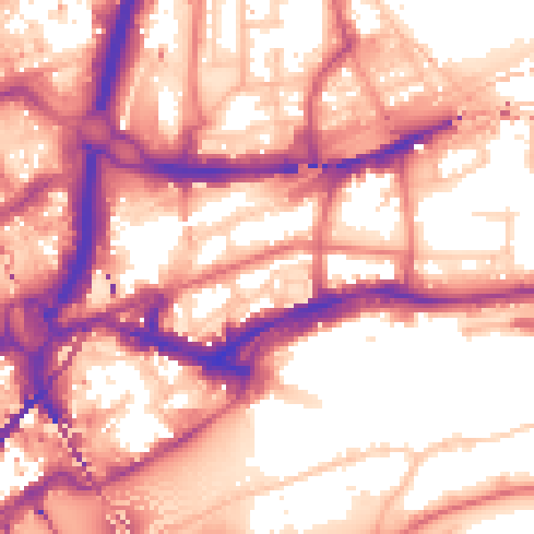
Daytime· 07:00 – 23:00
59.0dB

Night-time· 23:00 – 07:00
49.2dB