19 Sallyport House, City Road, Newcastle Upon Tyne, NE1 2AE
About 19 Sallyport House
19 Sallyport House is a two-bedroom mid-terrace house in Newcastle Upon Tyne (NE1 2AE). It has a recorded floor area of 59 m² (around 635 sq ft), construction records dating it to 1996-2002 and council tax band C. The latest certificate (March 2019) shows a C (score 79), near the top of the C band. The rating has held steady at C across 2 certificates since March 2009. Between certificates, lighting went from Very Poor to Very Good and main heating went from Poor to Average. The recommended improvements would push it to B (score 82). Main heating runs on electricity. At 59 m² this is the 31st smallest of 43 units on EPC record in the building, where floor areas span 26–132 m². The building's EPC ratings span E to B across 43 units on file. Other recorded features include a balcony.
Today's modelled estimate of £141,000 sits 50.4% above the 2011 sale of £93,750. On a £-per-square-foot basis, the last sale (£148/sq ft) was about 25.8% below the postcode norm. Last sold in December 2011, so it's been off the market for around 14 years.
What this property has
Inside
- Bedrooms2
- Bathrooms1
Outside
- GarageYes
- BalconyYes
Building
- Heating systemElectric
Everything you need to know about 19 Sallyport House
The true value, the hidden risks and the full sale history, in one report.
30-day money-back guarantee

The data behind every report


Energy performance
EPC Rating
Property Improvements
Changes detected from historical EPC data
More low energy lighting installed
Planning history
19 Sallyport House has no planning applications on record.
Notable planning nearby
3applications of note in the surrounding area
Sales history & valuation
£141,000
Modelled from EPC, postcode comparables.
£93,750
Recorded with HM Land Registry.
Sales timeline
14 December 2011Most recent
£93,750
Median price across the last 5 sales in NE1 2AE: £125,000 (2025–2022).
Nearby sales in NE1 2AE
22 Sallyport House, City Road, Newcastle Upon Tyne, NE1 2AE
Sold Apr 2025
£135,00037 Sallyport House, City Road, Newcastle Upon Tyne, NE1 2AE
Sold Jan 2025
£125,0007 Sallyport House, City Road, Newcastle Upon Tyne, NE1 2AE
Sold Nov 2023
£114,0005 Sallyport House, City Road, Newcastle Upon Tyne, NE1 2AE
Sold Sept 2022
£125,00023 Sallyport House, City Road, Newcastle Upon Tyne, NE1 2AE
Sold Feb 2022
£110,000
Versus other City Road homes
On epc rating, 19 Sallyport House stands well clear of the street.
Price per m²
£1,589
Street avg £2,076
Floor Area
59 m²
Street avg 56 m²
Habitable Rooms
3 rooms
Street avg 3 rooms
CO₂ Emissions
2.4 t/year
Street avg 2.9 t/year
Everything you need to know about 19 Sallyport House
The true value, the hidden risks and the full sale history, in one report.
30-day money-back guarantee
The data behind every report
Similar properties nearby
10 Sallyport House, City Road
NE1 2AE
10 Breamish Quays, Breamish Street
NE1 2DZ
10 Mariners Wharf, Quayside
NE1 2BJ
1 Melbourne Court, Howard Street
NE1 2AT
10 Manor Chare Apartments, Manor Chare
NE1 2EQ
1 High Quay, City Road
NE1 2PD
1 Mariners Wharf, Quayside
NE1 2BJ
10 Lime Square, City Road
NE1 2BA
The neighbourhood at a glance
Rail-style transport is unusually close for this postcode.
Crime
14/mo
Rising year-on-year across the wider district.
Nearest stop
0.1 km
City Road-Melbourne Street — bus stop.
Closest school
0.4 km
Christ Church CofE Primary School. 32 schools nearby.
Go deeper on the local area
The full report breaks down crime, transport links, schools and air quality in depth.
Road noise across the postcode
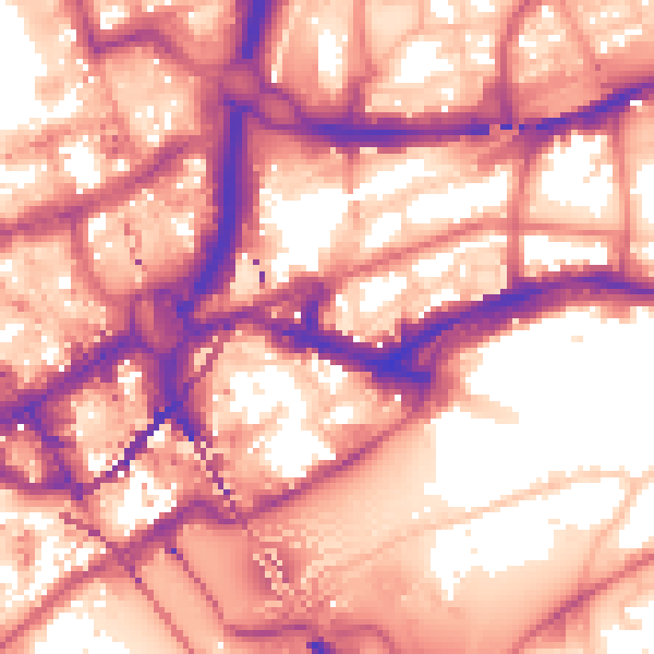
Daytime· 07:00 – 23:00
60.4dB

Night-time· 23:00 – 07:00
50.6dB