9 Chapman Place, Islington, London, N4 2PD
About 9 Chapman Place
9 Chapman Place is a four-bedroom mid-terrace house in Islington, London, London (N4 2PD). It has a recorded floor area of 99 m² (around 1066 sq ft), construction records dating it to 2003-2006 and council tax band F. The latest certificate (September 2024) shows a C (score 72). The recommended improvements would push it to B (score 86).
It hasn't traded since November 2000, a hold of 26 years that's notably long for the area. Only one transfer is on record with HM Land Registry, suggesting it has stayed in the same hands for a long time. Today's modelled estimate of £969,000 sits 288.4% above the 2000 sale of £249,500. On a £-per-square-foot basis, the last sale (£234/sq ft) was about 15.4% below the postcode norm. 4 bedrooms is on the larger side for this postcode, where 2 is the typical count.
Know exactly what you're buying at 9 Chapman Place
Before you offer, see what the listing won't tell you, the true value, the red flags and the full history.
Already flagged here
Valuation
against the asking price
Risks
planning & flood
Sold prices
similar homes nearby
Trends
the local market
What this property has
Inside
- Bedrooms4
- Bathrooms2
Outside
- Private gardenYes
- ParkingAllocated
Building
- RefurbishedYes
Energy performance
EPC Rating
Planning history
9 Chapman Place has no planning applications on record.
Notable planning nearby
4applications of note in the surrounding area
We flagged 1 thing worth checking at 9 Chapman Place
Independent checks surfaced things a buyer would want to understand before offering. The report explains each one in full, with the underlying data and what to ask.
- Larger development activity nearby
30-day money-back guarantee
Sales history & valuation
Latest sale on 9 Chapman Place was the lowest on Land Registry record across the postcode.
£969,000
Modelled from EPC, postcode comparables.
£249,500
Recorded with HM Land Registry.
Sales timeline
30 November 2000Most recent
£249,500
Median price across the last 5 sales in N4 2PD: £335,000 (2021–2004).
Nearby sales in N4 2PD
11 Chapman Place, Islington, London, N4 2PD
Sold Jun 2021
£950,01012 Chapman Place, Islington, London, N4 2PD
Sold Sept 2018
£890,00013 Chapman Place, Islington, London, N4 2PD
Sold Nov 2004
£320,00014 Chapman Place, Islington, London, N4 2PD
Sold Oct 2004
£335,0006 Chapman Place, Islington, London, N4 2PD
Sold Jun 2004
£327,000
Everything we know about 9 Chapman Place, in one report
What it's really worth, what could be wrong, and the planning, sales and area data in full.
What we flagged
- Larger development activity nearby

Versus other Chapman Place homes
On price per m², 9 Chapman Place runs well behind the street norm.
Price per m²
£2,520
Street avg £4,280
Floor Area
99 m²
Street avg 105 m²
Habitable Rooms
5 rooms
Street avg 5 rooms
CO₂ Emissions
2.9 t/year
Street avg 3.0 t/year
Similar properties nearby
1 Darter House, Anax Street, Islington
N4 2UE
1 Digby Crescent, Hackney
N4 2HS
1 Heron Drive, Hackney
N4 2FR
1 Chaser Avenue, Hackney
N4 2WT
1 Chapman Place, Islington
N4 2PD
1 Monsell Road, Islington
N4 2EF
1 Colthurst Crescent, Hackney
N4 2DT
1 Joseph Close, Queens Drive, Hackney
N4 2AR
The neighbourhood at a glance
Rail-style transport is unusually close for this postcode.
Crime
15/mo
Rising year-on-year across the wider district.
Nearest stop
0.1 km
Monsell Road — bus stop.
Closest school
0.1 km
Ambler Primary School and Children's Centre. 97 schools nearby.
Go deeper on the local area
The full report breaks down crime, transport links, schools and air quality in depth.
Road noise across the postcode
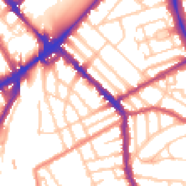
Daytime· 07:00 – 23:00
54.6dB

Night-time· 23:00 – 07:00
45.0dB