19 Colthurst Crescent, Hackney, London, N4 2DT
About 19 Colthurst Crescent
19 Colthurst Crescent is a two-bedroom mid-terrace house in Hackney, London, London (N4 2DT). It has a recorded floor area of 74 m² (around 797 sq ft), construction records dating it to 1991-1995 and council tax band E. The latest certificate (November 2021) shows a C (score 73). When first surveyed in October 2011 the rating was D, the property has climbed 1 band since. Between certificates, wall efficiency went from Average to Good and hot-water efficiency went from Very Poor to Good; while roof efficiency dropped from Very Good to Average. The recommended improvements would push it to B (score 86). Other recorded features include a basement.
Today's modelled estimate of £736,000 is 14.1% above the 2022 sale price. On a £-per-square-foot basis, the last sale (£810/sq ft) was about 165.3% above the typical sold price in the postcode. Most recent transfer: November 2022 at £645,000. That sale was during the post-pandemic price surge, when transactions cleared materially above pre-2020 trend.
Know exactly what you're buying at 19 Colthurst Crescent
Before you offer, see what the listing won't tell you, the true value, the red flags and the full history.
Already flagged here
Valuation
against the asking price
Risks
planning & flood
Sold prices
similar homes nearby
Trends
the local market
What this property has
Inside
- Bedrooms2
- Bathrooms1
- Dining roomYes
- BasementYes
Outside
- Private gardenYes
Energy performance
EPC Rating
Property Improvements
Changes detected from historical EPC data
Heating controls upgraded for better temperature management
Hot water system upgraded
Wall insulation upgraded
Planning history
19 Colthurst Crescent has no planning applications on record.
Notable planning nearby
4applications of note in the surrounding area
We flagged 1 thing worth checking at 19 Colthurst Crescent
Independent checks surfaced things a buyer would want to understand before offering. The report explains each one in full, with the underlying data and what to ask.
- Larger development activity nearby
30-day money-back guarantee
Sales history & valuation
Latest sale on 19 Colthurst Crescent was the highest on Land Registry record across the postcode.
£736,000
Modelled from EPC, postcode comparables.
£645,000
Recorded with HM Land Registry.
Sales timeline
10 November 2022Most recent
£645,000
Median price across the last 5 sales in N4 2DT: £348,000 (2023–2010).
Nearby sales in N4 2DT
3 Colthurst Crescent, Hackney, London, N4 2DT
Sold Apr 2023
£382,00011 Colthurst Crescent, Hackney, London, N4 2DT
Sold Sept 2016
£440,00013 Colthurst Crescent, Hackney, London, N4 2DT
Sold Mar 2013
£330,0009 Colthurst Crescent, Hackney, London, N4 2DT
Sold Jun 2010
£289,0001 Colthurst Crescent, Hackney, London, N4 2DT
Sold Feb 2009
£223,500
Everything we know about 19 Colthurst Crescent, in one report
What it's really worth, what could be wrong, and the planning, sales and area data in full.
What we flagged
- Larger development activity nearby

Similar properties nearby
1 Darter House, Anax Street, Islington
N4 2UE
1 Heron Drive, Hackney
N4 2FR
1 Colthurst Crescent, Hackney
N4 2DT
1 Monsell Road, Islington
N4 2EF
1 Myddleton Avenue, Hackney
N4 2FA
1 Laura Terrace, Brownswood Road, Hackney
N4 2SS
1 Miltiadou House, Finsbury Park Road, Hackney
N4 2JZ
1 Casbeard Street, Hackney
N4 2GD
The neighbourhood at a glance
Rail-style transport is unusually close for this postcode.
Crime
15/mo
Rising year-on-year across the wider district.
Nearest stop
0.1 km
Myddleton Avenue — bus stop.
Closest school
0.3 km
Parkwood Primary School. 93 schools nearby.
Go deeper on the local area
The full report breaks down crime, transport links, schools and air quality in depth.
Road noise across the postcode
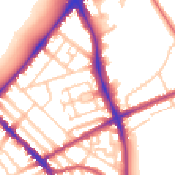
Daytime· 07:00 – 23:00
55.0dB

Night-time· 23:00 – 07:00
45.6dB