23 Brackenbury Road, Barnet, London, N2 0SS
About 23 Brackenbury Road
23 Brackenbury Road is a three-bedroom mid-terrace house in Barnet, London, London (N2 0SS). It has a recorded floor area of 113 m² (around 1216 sq ft), construction records dating it to 1900-1929 and council tax band E. The latest certificate (April 2013) shows a D (score 58), a step below the typical UK home. The recommended improvements would lift it to B (score 82), a 2-band jump. The latest certificate is from April 2013, so improvements made since then won't be reflected. Period features are noted in the property record.
At 113 m² it's 24.9% larger than the typical home in the postcode (91 m² median across 24 EPCs). Today's modelled estimate of £796,000 is 16.2% above the 2021 sale price. On a £-per-square-foot basis, the last sale (£563/sq ft) was about 56.2% above the typical sold price in the postcode. 2 planning records sit against the property, 0 approved, 0 refused. Most recent transfer: April 2021 at £685,000. That sale was during the post-pandemic price surge, when transactions cleared materially above pre-2020 trend.
Know exactly what you're buying at 23 Brackenbury Road
Before you offer, see what the listing won't tell you, the true value, the red flags and the full history.
Already flagged here
Valuation
against the asking price
Risks
planning & flood
Sold prices
similar homes nearby
Trends
the local market
What this property has
Inside
- Bedrooms3
- Bathrooms2
- Dining roomYes
Outside
- ParkingOff street
Building
- Central heatingYes
- Period featuresYes
Energy performance
Recommended upgrades on file would lift this property by multiple EPC bands.
EPC Expired
This certificate is over 10 years old and is no longer valid.Expired 26 Apr 2023
EPC Rating
Planning history
- Jan 2009Loft ConversionOutlineIn report
Extension to roof involving rear dormer to facilitate a loft conversion.
- Agent
- Crammond Browne Architects Ltd
- Documents
- 3 docs on file
- Reference
- F/04101/08
- Oct 2008Loft ConversionOutlineIn report
Extension to roof involving rear dormer to facilitate a loft conversion.
- Agent
- Crammond Browne
- Documents
- 3 docs on file
- Reference
- F/02685/08
We flagged 2 things worth checking at 23 Brackenbury Road
Independent checks surfaced things a buyer would want to understand before offering. The report explains each one in full, with the underlying data and what to ask.
- Signs of HMO activity in the area
- Larger development activity nearby
30-day money-back guarantee
Sales history & valuation
The latest sale landed in the post-pandemic price surge — useful context when reading the figure.
£796,000
Modelled from EPC, postcode comparables and a sale-price growth of -0.4% per year over 5 years.
£685,000
Growth on file: -0.4% per year over 5 years.
Sales timeline
15 April 2021Most recent
£685,000
-2.1%over 5 years10 February 2016
£699,500
Median price across the last 5 sales in N2 0SS: £770,000 (2025–2024).
Nearby sales in N2 0SS
51 Brackenbury Road, Barnet, London, N2 0SS
Sold Oct 2025
£770,00021 Brackenbury Road, Barnet, London, N2 0SS
Sold Dec 2024
£750,00083 Brackenbury Road, Barnet, London, N2 0SS
Sold Sept 2024
£825,00065 Brackenbury Road, Barnet, London, N2 0SS
Sold Aug 2024
£550,00035 Brackenbury Road, Barnet, London, N2 0SS
Sold Apr 2024
£855,000
Everything we know about 23 Brackenbury Road, in one report
What it's really worth, what could be wrong, and the planning, sales and area data in full.
What we flagged
- Signs of HMO activity in the area
- Larger development activity nearby

Versus other Brackenbury Road homes
On floor area, 23 Brackenbury Road stands well clear of the street.
Price per m²
£6,062
Street avg £6,631
Floor Area
113 m²
Street avg 92 m²
Habitable Rooms
4 rooms
Street avg 5 rooms
CO₂ Emissions
5.3 t/year
Street avg 4.4 t/year
Similar properties nearby
1 Cromwell Close, Barnet
N2 0LL
1 Denison Close, Barnet
N2 0JT
1 Cedar Drive, Barnet
N2 0PS
1 Deansway, Barnet
N2 0NF
1 Devon Rise, Barnet
N2 0AA
1 Albany Row, 12 The Causeway, Barnet
N2 0XB
1 Edeleny Close, Barnet
N2 0FE
1 Brackenbury Road, Barnet
N2 0SS
The neighbourhood at a glance
Crime
5/mo
Steady year-on-year across the wider district.
Nearest stop
0.1 km
Ossulton Way — bus stop.
Closest school
0.1 km
Bishop Douglass School Finchley. 50 schools nearby.
Go deeper on the local area
The full report breaks down crime, transport links, schools and air quality in depth.
Road noise across the postcode
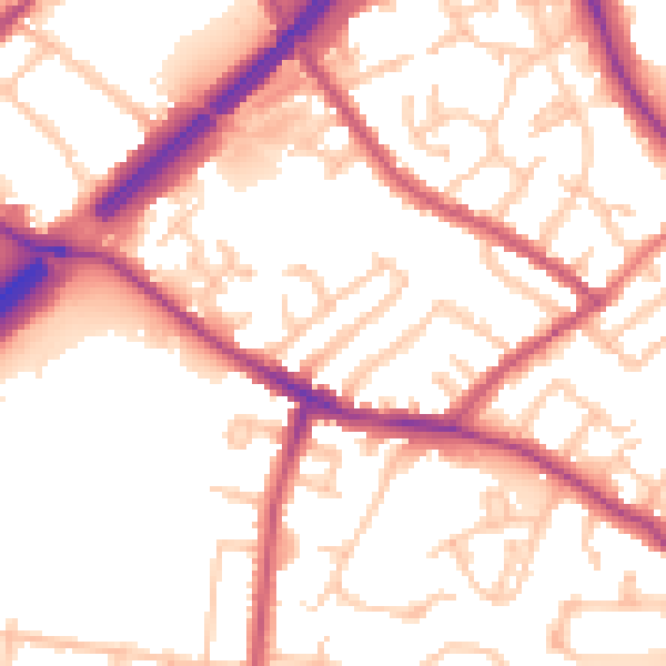
Daytime· 07:00 – 23:00
54.1dB

Night-time· 23:00 – 07:00
44.3dB