7 Button Grove, Coffee Hall, Milton Keynes, MK6 5HH
About 7 Button Grove
7 Button Grove is an end-of-terrace house in Coffee Hall, Milton Keynes, Milton Keynes (MK6 5HH). It has a recorded floor area of 73 m² (around 791 sq ft), construction records dating it to 1991-1995 and council tax band C. The latest certificate (February 2012) shows a C (score 73). The latest certificate is from February 2012, so improvements made since then won't be reflected.
Everything you need to know about 7 Button Grove
The true value, the hidden risks and the full sale history, in one report.
Pick your report · every report is £14.99
One time fee only - money back guarantee

The data behind every report


Energy performance
7 Button Grove's EPC is over a decade old — improvements since won't be reflected.
EPC Expired
This certificate is over 10 years old and is no longer valid.Expired 02 Feb 2022
EPC Rating
Get a survey for this property
Level 2 HomeBuyer Report
We've checked 10 risk factors against the available data for this property and believe a Level 2 HomeBuyer Report could be a suitable option for you.
From £545 · Includes VAT
Planning history
7 Button Grove has no planning applications on record.
But the area is active
3 notable applications nearby — larger schemes and conversions that could reshape the street. The report maps them all.
Sales history & valuation
7 Button Grove has no Land Registry sales on file, suggesting it has stayed in the same hands since registration began.
£263,000
Modelled from EPC, postcode comparables.
No sales recorded with HM Land Registry
That can mean the property has never traded since the registry began publishing in 1995, was a new build that hasn't been registered yet, or is held in the same hands long-term.
Versus other Button Grove homes
7 Button Grove outperforms the street on epc rating by a wide margin.
EPC Rating
73 (C)
Street avg 67 (D)
Floor Area
73 m²
Street avg 75 m²
CO₂ Emissions
2.3 t/year
Street avg 3.1 t/year
Habitable Rooms
4 rooms
Street avg 4 rooms
Everything you need to know about 7 Button Grove
The true value, the hidden risks and the full sale history, in one report.
Pick your report · every report is £14.99
One time fee only - money back guarantee
The data behind every report
Similar properties nearby
1 Harlans Close, Eaglestone
MK6 5BP
1 Downdean, Eaglestone
MK6 5AR
1 Lanner Walk, Eaglestone
MK6 5BT
1 Combes Crescent, Leadenhall
MK6 5LX
1 Abbotsfield, Eaglestone
MK6 5AB
1 Great Denson, Eaglestone
MK6 5AT
1 Broad Dean, Eaglestone
MK6 5AH
1 Grigby Rise, Coffee Hall
MK6 5HS
The neighbourhood at a glance
Reported crime in the wider district is trending notably upward year-on-year.
Crime
6/mo
Rising year-on-year across the wider district.
Nearest stop
0.1 km
Lloyds — bus stop.
Closest school
0.4 km
The Milton Keynes Academy. 32 schools nearby.
Go deeper on the local area
A Local Area report breaks down crime, transport links, schools and air quality in depth.
Road noise across the postcode
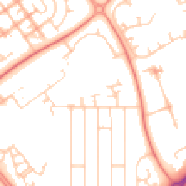
Daytime· 07:00 – 23:00
51.2dB

Night-time· 23:00 – 07:00
39.6dB