19 Harold Road, Barton Le Clay, Bedford, MK45 4QQ
About 19 Harold Road
19 Harold Road is a three-bedroom semi-detached house in Barton-Le-Clay, Bedford, Bedford (MK45 4QQ). It has a recorded floor area of 120 m² (around 1292 sq ft), construction records dating it to 1950-1966 and council tax band D. The latest certificate (April 2014) shows a D (score 67), on the cusp of jumping into the C band. The recommended improvements would push it to C (score 80). The latest certificate is from April 2014, so improvements made since then won't be reflected. Records show the property has been extended at some point in its history.
At 120 m² the property is well over the postcode median (87 m² across 7 EPCs), placing it in the larger end of the local stock. One planning record on file: an extension approved in 2018. Past consents include an extension, meaningful when judging how the property has evolved. Across 1997–2021, sale prices on this property compounded at 7.3% per year. Today's modelled estimate of £463,000 is 12.9% above the 2021 sale price. Most recent transfer: May 2021 at £410,000. That sale was during the post-pandemic price surge, when transactions cleared materially above pre-2020 trend.
Know exactly what you're buying at 19 Harold Road
Before you offer, see what the listing won't tell you, the true value, the red flags and the full history.
Already flagged here
Valuation
against the asking price
Risks
planning & flood
Sold prices
similar homes nearby
Trends
the local market
What this property has
Inside
- Bedrooms3
- Bathrooms2
- Dining roomYes
- CloakroomYes
- FireplaceYes
Outside
- Private gardenEast-facing
Building
- Heating systemGas
- Previously extendedYes
- RefurbishedYes
Energy performance
19 Harold Road's EPC is over a decade old — improvements since won't be reflected.
EPC Expired
This certificate is over 10 years old and is no longer valid.Expired 27 Apr 2024
EPC Rating
Planning history
- Apr 2018ExtensionFullIn report
Alterations and insertion of roof lantern to the existing single level rear extension.
- Reference
- CB/18/00694/FULL
We flagged 1 thing worth checking at 19 Harold Road
Independent checks surfaced things a buyer would want to understand before offering. The report explains each one in full, with the underlying data and what to ask.
- Larger development activity nearby
30-day money-back guarantee
Sales history & valuation
Price for 19 Harold Road has grown more than fourfold since the 1997 starting point.
£463,000
Modelled from EPC, postcode comparables and a sale-price growth of 7.3% per year over 24 years.
£410,000
Growth on file: 7.3% per year over 24 years.
Sales timeline
13 May 2021Most recent
£410,000
+47.0%over 6 years3 July 2014
£279,000
+276.0%over 17 years5 February 1997
£74,200
Median price across the last 5 sales in MK45 4QQ: £332,500 (2023–2019).
Nearby sales in MK45 4QQ
15 Harold Road, Barton Le Clay, Bedford, MK45 4QQ
Sold Aug 2023
£430,00014 Harold Road, Barton Le Clay, Bedford, MK45 4QQ
Sold Jun 2021
£332,5009 Harold Road, Barton Le Clay, Bedford, MK45 4QQ
Sold Jun 2021
£375,00021 Harold Road, Barton Le Clay, Bedford, MK45 4QQ
Sold Apr 2017
£360,0001 Harold Road, Barton Le Clay, Bedford, MK45 4QQ
Sold Sept 2014
£220,000
Everything we know about 19 Harold Road, in one report
What it's really worth, what could be wrong, and the planning, sales and area data in full.
What we flagged
- Larger development activity nearby

Versus other Harold Road homes
19 Harold Road outperforms the street on floor area by a wide margin.
Price per m²
£3,417
Street avg £3,475
Floor Area
120 m²
Street avg 88 m²
Habitable Rooms
5 rooms
Street avg 5 rooms
CO₂ Emissions
4.2 t/year
Street avg 4.3 t/year
Similar properties nearby
1 Chestnut Avenue, Silsoe
MK45 4GP
1 Cainhoe Road, Clophill
MK45 4AN
1 Brazier Close, Barton Le Clay
MK45 4RW
1 Church Path, Clophill
MK45 4BP
1 Ash Tree Covert, Silsoe
MK45 4GN
1 Apple Tree Close, Silsoe
MK45 4SR
1 Ashby Drive, Barton Le Clay
MK45 4SA
1 Apple Glebe, Barton Le Clay
MK45 4PJ
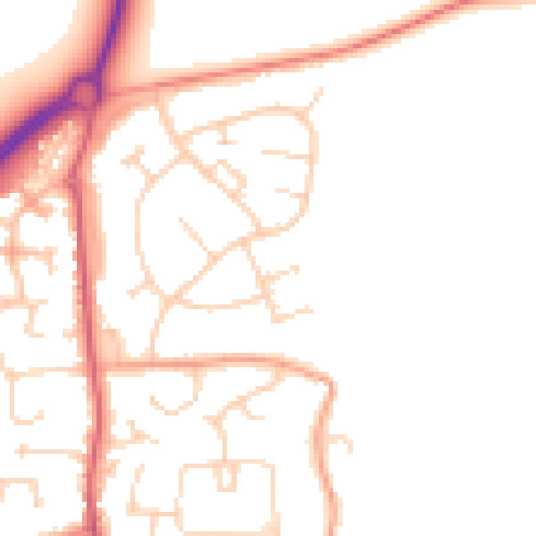
The neighbourhood at a glance
Daytime road noise here sits well below conversation level — a quiet pocket of the postcode.
Crime
2/mo
Steady year-on-year across the wider district.
Nearest stop
0.2 km
Hastings Road — bus stop.
Closest school
0.6 km
Ramsey Manor Lower School. 2 schools nearby.
Go deeper on the local area
The full report breaks down crime, transport links, schools and air quality in depth.
Road noise across the postcode
Daytime· 07:00 – 23:00
49.0dB

Night-time· 23:00 – 07:00
40.3dB