19 Ashdale Avenue, Kempston, Bedford, MK42 8NT
About 19 Ashdale Avenue
19 Ashdale Avenue is a three-bedroom detached house in Kempston, Bedford, Bedford (MK42 8NT). It has a recorded floor area of 86 m² (around 928 sq ft), construction records dating it to 1930-1949 and council tax band D. The latest certificate (March 2012) shows an F (score 37), near the bottom of the EPC scale. The recommended improvements would lift it to D (score 57), a 2-band jump. The latest certificate is from March 2012, so improvements made since then won't be reflected. Period features are noted in the property record.
On energy efficiency it sits in the bottom 10% of properties in this postcode — significant headroom for improvement. One planning record on file: an extension approved in 2015. Past consents include an extension and a garage conversion, meaningful when judging how the property has evolved. Across 2006–2021, sale prices on this property compounded at 3.6% per year. Today's modelled estimate of £432,000 is 20% above the 2021 sale price. On a £-per-square-foot basis, the last sale (£388/sq ft) was about 115.8% above the typical sold price in the postcode. Last sale on file: £360,000 in January 2021. That sale was during the post-pandemic price surge, when transactions cleared materially above pre-2020 trend.
Know exactly what you're buying at 19 Ashdale Avenue
Before you offer, see what the listing won't tell you, the true value, the red flags and the full history.
Valuation
against the asking price
Risks
planning & flood
Sold prices
similar homes nearby
Trends
the local market
What this property has
Inside
- Bedrooms3
- Bathrooms2
- Open-plan layoutYes
- CloakroomYes
- StudyYes
Outside
- DrivewayYes
Building
- Period featuresYes
- RefurbishedYes
Energy performance
19 Ashdale Avenue sits at the bottom of the postcode for energy efficiency — meaningful headroom to improve.
EPC Expired
This certificate is over 10 years old and is no longer valid.Expired 19 Mar 2022
EPC Rating
Planning history
- Jun 2015Garage ConversionFullIn report
Extension: Single storey · Side of property
Single storey side extension and garage conversion.
Extension- Reference
- 15/01004/FUL
What's in 19 Ashdale Avenue, Kempston, Bedford, MK42 8NT's planning history?
Refusals, disputes and full decisions on this property and nearby, in the report.
Sales history & valuation
The latest sale landed in the post-pandemic price surge — useful context when reading the figure.
£432,000
Modelled from EPC, postcode comparables and a sale-price growth of 3.6% per year over 15 years.
£360,000
Growth on file: 3.6% per year over 15 years.
Sales timeline
8 January 2021Most recent
£360,000
+65.1%over 1 year23 May 2019
£218,000
+1.4%over 12 years6 July 2006
£215,000
Median price across the last 5 sales in MK42 8NT: £330,000 (2024–2023).
Nearby sales in MK42 8NT
7 Ashdale Avenue, Kempston, Bedford, MK42 8NT
Sold Dec 2024
£431,0009 Ashdale Avenue, Kempston, Bedford, MK42 8NT
Sold May 2024
£330,0003 Ashdale Avenue, Kempston, Bedford, MK42 8NT
Sold Jan 2024
£380,00027 Ashdale Avenue, Kempston, Bedford, MK42 8NT
Sold Oct 2023
£320,00031 Ashdale Avenue, Kempston, Bedford, MK42 8NT
Sold Jul 2023
£246,000
Everything we know about 19 Ashdale Avenue, in one report
What it's really worth, what could be wrong, and the planning, sales and area data in full.
- Am I paying too much?
- Is something wrong with it?
- Is the agent's story true?
- Will it hold its value?

Versus other Ashdale Avenue homes
19 Ashdale Avenue outperforms the street on price per m² by a wide margin.
Price per m²
£4,178
Street avg £2,677
Floor Area
86 m²
Street avg 109 m²
Habitable Rooms
5 rooms
Street avg 5 rooms
CO₂ Emissions
7.3 t/year
Street avg 4.7 t/year
Similar properties nearby
1 Addison Close, Kempston
MK42 8JA
1 Ashdale Avenue, Kempston
MK42 8NT
1 Coniston Close, Kempston
MK42 8JT
1 Beatrice Street, Kempston
MK42 8AF
1 Fearnley Crescent, Kempston
MK42 8NL
1 Eastdale Close, Kempston
MK42 8LY
1 Ely Way, Kempston
MK42 8TW
1 Buttermere Close, Kempston
MK42 8JU
The neighbourhood at a glance
Crime
6/mo
Steady year-on-year across the wider district.
Nearest stop
0.3 km
Dunkirk Close — bus stop.
Closest school
0.3 km
Camestone School. 23 schools nearby.
Go deeper on the local area
The full report breaks down crime, transport links, schools and air quality in depth.
Road noise across the postcode
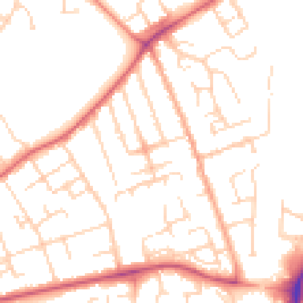
Daytime· 07:00 – 23:00
50.8dB

Night-time· 23:00 – 07:00
41.1dB