29 Beatrice Street, Kempston, Bedford, MK42 8AF
About 29 Beatrice Street
29 Beatrice Street is a three-bedroom semi-detached house in Kempston, Bedford, Bedford (MK42 8AF). It has a recorded floor area of 77 m² (around 829 sq ft), construction records dating it to before 1900 and council tax band B. The latest certificate (February 2015) shows a D (score 57), a step below the typical UK home. When first surveyed in April 2010 the rating was E, the property has climbed 1 band since. Between certificates, roof efficiency went from Very Poor to Good, window efficiency went from Very Poor to Good and lighting went from Average to Very Good. The recommended improvements would lift it to B (score 85), a 2-band jump. The latest certificate is from February 2015, so improvements made since then won't be reflected.
Across 2015–2021, sale prices on this property compounded at 5.8% per year. Today's modelled estimate of £271,000 is 15.3% above the 2021 sale price. On a £-per-square-foot basis, the last sale (£284/sq ft) was about 75.3% above the typical sold price in the postcode. Sold November 2021 for £235,000. That sale was during the post-pandemic price surge, when transactions cleared materially above pre-2020 trend.
Know exactly what you're buying at 29 Beatrice Street
Before you offer, see what the listing won't tell you, the true value, the red flags and the full history.
Valuation
against the asking price
Risks
planning & flood
Sold prices
similar homes nearby
Trends
the local market
What this property has
Inside
- Bedrooms3
Outside
- Private gardenYes
Building
- Heating systemGas fired
Energy performance
Recommended upgrades on file would lift this property by multiple EPC bands.
EPC Expired
This certificate is over 10 years old and is no longer valid.Expired 20 Feb 2025
EPC Rating
Property Improvements
Changes detected from historical EPC data
Heating controls upgraded for better temperature management
Windows upgraded, improving insulation
Loft insulation installed or upgraded to 250mm+
More low energy lighting installed
Planning history
29 Beatrice Street has no planning applications on record.
Notable planning nearby
2applications of note in the surrounding area
Sales history & valuation
The latest sale landed in the post-pandemic price surge — useful context when reading the figure.
£271,000
Modelled from EPC, postcode comparables and a sale-price growth of 5.8% per year over 6 years.
£235,000
Growth on file: 5.8% per year over 6 years.
Sales timeline
12 November 2021Most recent
£235,000
+42.9%over 6 years9 July 2015
£164,500
Median price across the last 5 sales in MK42 8AF: £236,000 (2025–2021).
Nearby sales in MK42 8AF
25 Beatrice Street, Kempston, Bedford, MK42 8AF
Sold Aug 2025
£285,00027 Beatrice Street, Kempston, Bedford, MK42 8AF
Sold Jul 2024
£272,00033 Beatrice Street, Kempston, Bedford, MK42 8AF
Sold Aug 2023
£224,0001 Beatrice Street, Kempston, Bedford, MK42 8AF
Sold Aug 2021
£236,00013 Beatrice Street, Kempston, Bedford, MK42 8AF
Sold Aug 2021
£238,000
Everything we know about 29 Beatrice Street, in one report
What it's really worth, what could be wrong, and the planning, sales and area data in full.
- Am I paying too much?
- Is something wrong with it?
- Is the agent's story true?
- Will it hold its value?

Versus other Beatrice Street homes
29 Beatrice Street is notably below the street on co₂ emissions.
Price per m²
£3,052
Street avg £2,576
Floor Area
77 m²
Street avg 81 m²
Habitable Rooms
4 rooms
Street avg 5 rooms
CO₂ Emissions
4.4 t/year
Street avg 3.7 t/year
Similar properties nearby
1 Eastdale Close, Kempston
MK42 8LY
1 Fearnley Crescent, Kempston
MK42 8NL
1 Beatrice Street, Kempston
MK42 8AF
1 Coniston Close, Kempston
MK42 8JT
1 Ashdale Avenue, Kempston
MK42 8NT
1 Addison Close, Kempston
MK42 8JA
1 Farrer Street, Kempston
MK42 8JH
1 Cleveland Street, Kempston
MK42 8DW
The neighbourhood at a glance
Daytime road noise here sits well below conversation level — a quiet pocket of the postcode.
Crime
6/mo
Steady year-on-year across the wider district.
Nearest stop
0.1 km
Whitbread Avenue — bus stop.
Closest school
0.4 km
Cauldwell School. 25 schools nearby.
Go deeper on the local area
The full report breaks down crime, transport links, schools and air quality in depth.
Road noise across the postcode
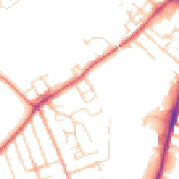
Daytime· 07:00 – 23:00
49.4dB

Night-time· 23:00 – 07:00
41.0dB