6 Bromham Road, Biddenham, Bedford, MK40 4AF
About 6 Bromham Road
6 Bromham Road is a six-bedroom detached house in Biddenham, Bedford, Bedford (MK40 4AF). It has a recorded floor area of 287 m² (around 3089 sq ft). The latest certificate (April 2015) returns a high B (score 85), putting the home a stone's throw from an A rating. The latest certificate is from April 2015, so improvements made since then won't be reflected. The property has underfloor heating on record, all of which lower running costs and tend to lift resale appeal.
At 287 m² it's 27.6% larger than the typical home in the postcode (225 m² median across 45 EPCs). Its energy rating outperforms most of the postcode (better than 82% of similar EPCs). 6 bedrooms is on the larger side for this postcode, where 4 is the typical count. Across 2013–2025, sale prices on this property compounded at 12.4% per year. On a £-per-square-foot basis, the last sale (£286/sq ft) was about 31.5% above the typical sold price in the postcode. 10 planning records sit against the property, 10 approved, 0 refused. Most recent transfer: February 2025 at £885,000.
What this property has
Inside
- Bedrooms6
- Bathrooms4
- Open-plan layoutYes
- Dining roomYes
- Utility roomYes
- CloakroomYes
- EnsuiteYes
Outside
- GarageYes
Building
- Heating systemGas
- Underfloor heatingYes
Everything you need to know about 6 Bromham Road
The true value, the hidden risks and the full sale history, in one report.
Pick your report · from £14.99
One time fee only - money back guarantee

The data behind every report







Energy performance
6 Bromham Road's EPC is over a decade old — improvements since won't be reflected.
EPC Expired
This certificate is over 10 years old and is no longer valid.Expired 13 Apr 2025
EPC Rating
Certificate validity
Expired on 13 April 2025

Get a survey for this property
Level 2 HomeBuyer Report
We've checked 10 risk factors against the available data for this property and believe a Level 2 HomeBuyer Report could be a suitable option for you.
From £1,095 · Includes VAT
Planning history
6 Bromham Road has been through 10 approved planning applications — a well-evolved property.
10 applications on record at 6 Bromham Road, Biddenham, Bedford, MK40 4AF
- Jan 2012Demolition And RebuildOutlineOutcome in report
Demolition of existing dwelling and erection of three dwellings - outline application with all matters reserved except access and layout.
- Reference
- 11/02075/OUT
- More recent applications — locked
- New BuildApr 2014Decision
- New BuildMar 2014Decision
+ 7 more applications in the report
Unlock 6 Bromham Road, Biddenham, Bedford, MK40 4AF's full planning history
You're seeing the shape of it. The report has the substance.
- Every decision — granted, refused or withdrawn (10 on record)
- All 10 applications on this property in full, plus 10 notable nearby
- The 14 documents, officer reports & conditions
- What the pattern means for extending or converting here
One time fee only - money back guarantee
Sales history & valuation
Sale price has grown by over 3x since 2013.
£850,000
Modelled from EPC, postcode comparables and a sale-price growth of 12.4% per year over 11 years.
£885,000
Growth on file: 12.4% per year over 11 years.
Sales timeline
3 February 2025Most recent
£885,000
+29.2%over 9 years10 June 2015
£685,000
+185.4%over 1 year9 December 2013
£240,000
Median price across the last 5 sales in MK40 4AF: £900,000 (2026–2023).
Nearby sales in MK40 4AF
10 Bromham Road, Biddenham, Bedford, MK40 4AF
Sold May 2026
£950,00036 Bromham Road, Biddenham, Bedford, MK40 4AF
Sold Aug 2025
£900,00020e, Bromham Road, Biddenham, Bedford, MK40 4AF
Sold Oct 2024
£1,300,00017 Bromham Road, Biddenham, Bedford, MK40 4AF
Sold Mar 2024
£800,00040 Bromham Road, Biddenham, Bedford, MK40 4AF
Sold Oct 2023
£880,000
Versus other Bromham Road homes
EPC Rating for 6 Bromham Road runs comfortably ahead of the street norm.
Price per m²
£3,084
Street avg £12,354
Floor Area
287 m²
Street avg 242 m²
CO₂ Emissions
4.1 t/year
Street avg 6.1 t/year
Years Held
2 years
Street avg 11 years
Everything you need to know about 6 Bromham Road
The true value, the hidden risks and the full sale history, in one report.
Pick your report · from £14.99
One time fee only - money back guarantee
The data behind every report
Similar properties nearby
1 Carnoustie Drive, Great Denham
MK40 4FE
1 Coopers Close, Biddenham
MK40 4DH
1 Bromham Road, Biddenham
MK40 4AF
1 Cameron Crescent
MK40 4TH
1 Biddenham Turn, Biddenham
MK40 4AT
1 Alnwick Way, Great Denham
MK40 4SX
1 Cantley Road, Great Denham
MK40 4RX
1 Beverley Grove
MK40 4BU
The neighbourhood at a glance
Crime
328/mo
Falling year-on-year across the wider district.
Nearest stop
0.1 km
Deep Spinney — bus stop.
Closest school
0.7 km
St James' CofE Academy. 17 schools nearby.
Go deeper on the local area
A Local Area report breaks down crime, transport links, schools and air quality in depth.
Road noise across the postcode
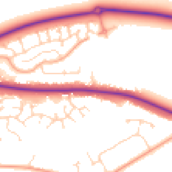
Daytime· 07:00 – 23:00
52.9dB

Night-time· 23:00 – 07:00
44.0dB