3a, Canterbury Street, Gillingham, ME7 5TP
About 3a
3a is a mid-terrace house in Gillingham (ME7 5TP). It has a recorded floor area of 114 m² (around 1227 sq ft) and construction records dating it to 1976-1982. At 114 m² this is the largest unit on EPC record across the building (33–114 m²). The building's EPC ratings span E to C across 6 units on file. The latest certificate (April 2021) shows a D (score 65), on the cusp of jumping into the C band. The recommended improvements would push it to C (score 70).
At 114 m² the property is well over the postcode median (60 m² across 5 EPCs), placing it in the larger end of the local stock.
Everything you need to know about 3a
The true value, the hidden risks and the full sale history, in one report.
30-day money-back guarantee

The data behind every report


Energy performance
EPC Rating
Get a survey for this property
Level 2 HomeBuyer Report
We've checked 10 risk factors against the available data for this property and believe a Level 2 HomeBuyer Report could be a suitable option for you.
From £545 · Includes VAT
Planning history
3a has no planning applications on record.
Notable planning nearby
48applications of note in the surrounding area
We flagged 2 things worth checking at 3a
Independent checks surfaced things a buyer would want to understand before offering. The report explains each one in full, with the underlying data and what to ask.
- Signs of HMO activity in the area
- Larger development activity nearby
30-day money-back guarantee
Sales history & valuation
3a has no Land Registry sales on file, suggesting it has stayed in the same hands since registration began.
£233,000
Modelled from EPC, postcode comparables.
No sales recorded with HM Land Registry
That can mean the property has never traded since the registry began publishing in 1995, was a new build that hasn't been registered yet, or is held in the same hands long-term.
Median price across the last 2 sales in ME7 5TP: £31,500 (2013–1996).
Nearby sales in ME7 5TP
Versus other Canterbury Street homes
3a outperforms the street on floor area by a wide margin.
EPC Rating
65 (D)
Street avg 64 (D)
Floor Area
114 m²
Street avg 54 m²
CO₂ Emissions
4.6 t/year
Street avg 2.9 t/year
Habitable Rooms
4 rooms
Street avg 3 rooms
Everything you need to know about 3a
The true value, the hidden risks and the full sale history, in one report.
30-day money-back guarantee
The data behind every report
Similar properties nearby
The neighbourhood at a glance
Rail-style transport is unusually close for this postcode.
Crime
10/mo
Rising year-on-year across the wider district.
Nearest stop
0.1 km
St Mark's Church — bus stop.
Closest school
0.3 km
Oasis Academy Skinner Street. 34 schools nearby.
Go deeper on the local area
The full report breaks down crime, transport links, schools and air quality in depth.
Road noise across the postcode
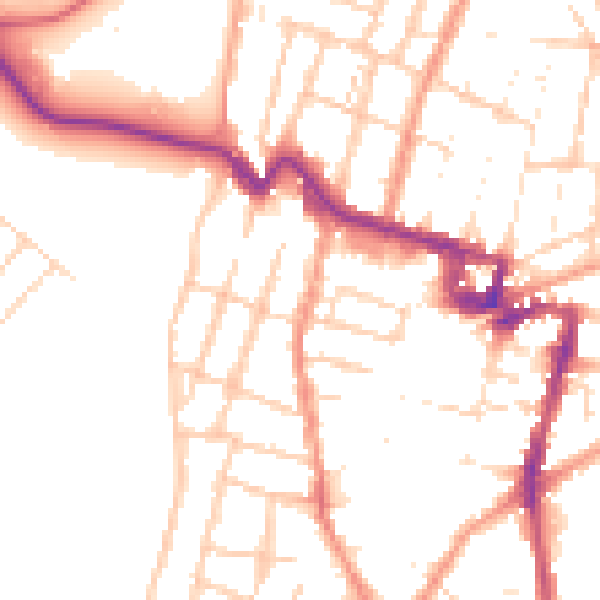
Daytime· 07:00 – 23:00
50.7dB

Night-time· 23:00 – 07:00
41.0dB