6 Inner Lines, Gillingham, ME7 5BT
About 6 Inner Lines
6 Inner Lines is a property in Gillingham (ME7 5BT). It has council tax band C.
Energy performance
No EPC on record
This property doesn't have an Energy Performance Certificate yet. An EPC is required to sell or let — and unlocks our automated valuation.
Get a survey for this property
Level 2 HomeBuyer Report
We've checked 10 risk factors against the available data for this property and believe a Level 2 HomeBuyer Report could be a suitable option for you.
Planning history
No planning applications are recorded against 6 Inner Lines, Gillingham, ME7 5BT. The full report also covers planning activity across the surrounding area.
Similar properties nearby
The neighbourhood at a glance
Reported crime in the wider district is trending notably upward year-on-year.
Crime
10/mo
Rising year-on-year across the wider district.
Nearest stop
0.2 km
King Charles Hotel — bus stop.
Closest school
0.6 km
Brompton-Westbrook Primary School. 38 schools nearby.
Road noise across the postcode
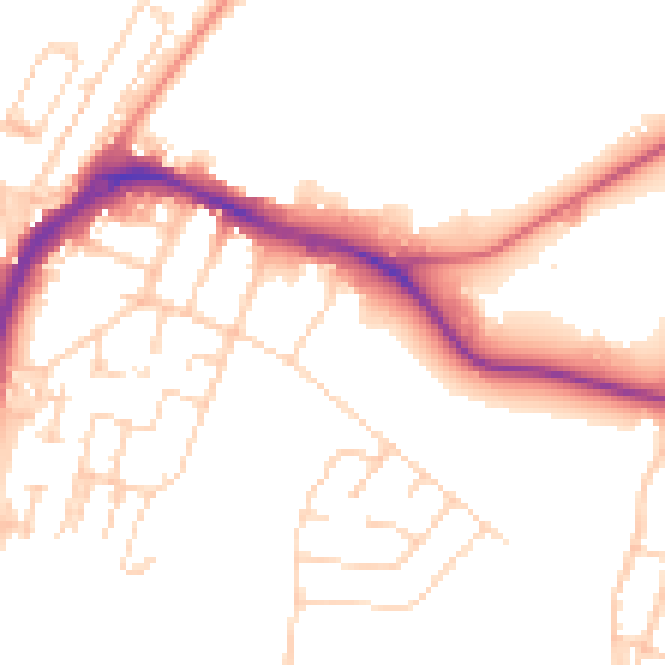
Daytime· 07:00 – 23:00
50.9dB

Night-time· 23:00 – 07:00
41.4dB