Isabella, Blind Lane, Bredhurst, Gillingham, ME7 3JR
About Isabella
Isabella is a property in Bredhurst, Gillingham, Gillingham (ME7 3JR).
Most recent transfer was July 2025 at £600,000 — fresh data. Across 2019–2025, sale prices on this property compounded at 3.4% per year.
Everything you need to know about Isabella
The true value, the hidden risks and the full sale history, in one report.
30-day money-back guarantee

The data behind every report


Energy performance
No EPC on record
This property doesn't have an Energy Performance Certificate yet. An EPC is required to sell or let — and unlocks our automated valuation.
Get a survey for this property
Level 2 HomeBuyer Report
We've checked 10 risk factors against the available data for this property and believe a Level 2 HomeBuyer Report could be a suitable option for you.
Planning history
Isabella has no planning applications on record.
Notable planning nearby
1applications of note in the surrounding area
We flagged 1 thing worth checking at Isabella
Independent checks surfaced things a buyer would want to understand before offering. The report explains each one in full, with the underlying data and what to ask.
- Larger development activity nearby
30-day money-back guarantee
Sales history & valuation
£600,000
Growth on file: 3.4% per year over 6 years.
Sales timeline
10 July 2025Most recent
£600,000
+22.4%over 6 years6 June 2019
£490,000
Median price across the last 5 sales in ME7 3JR: £495,000 (2024–2019).
Nearby sales in ME7 3JR
Nupkins, Blind Lane, Bredhurst, Gillingham, ME7 3JR
Sold Jul 2024
£595,000Fledgeby, Blind Lane, Bredhurst, Gillingham, ME7 3JR
Sold Nov 2020
£495,0007 Blind Lane, Bredhurst, Gillingham, ME7 3JR
Sold Oct 2020
£100,0006 Blind Lane, Bredhurst, Gillingham, ME7 3JR
Sold Oct 2020
£100,000Lightwood, Blind Lane, Bredhurst, Gillingham, ME7 3JR
Sold Sept 2019
£502,500
Everything you need to know about Isabella
The true value, the hidden risks and the full sale history, in one report.
30-day money-back guarantee
The data behind every report
Similar properties nearby
1 Blowers Wood Grove, Hempstead
ME7 3RD
1 Clermont Close, Hempstead
ME7 3TQ
1 Fir Tree Grove, Bredhurst
ME7 3LB
1 Copperpenny Drive, Hempstead
ME7 3DT
1 Barncroft Drive, Hempstead
ME7 3TJ
1 Blind Lane, Bredhurst
ME7 3JR
1 Brickmakers Way, Hempstead
ME7 3BF
1 Darland Farm Yard, Pear Tree Lane
ME7 3PP
The neighbourhood at a glance
Reported crime in the wider district is trending notably upward year-on-year.
Crime
10/mo
Rising year-on-year across the wider district.
Nearest stop
0.4 km
Primary School — bus stop.
Closest school
0.3 km
Bredhurst Church of England Voluntary Controlled Primary School. 10 schools nearby.
Go deeper on the local area
The full report breaks down crime, transport links, schools and air quality in depth.
Road noise across the postcode
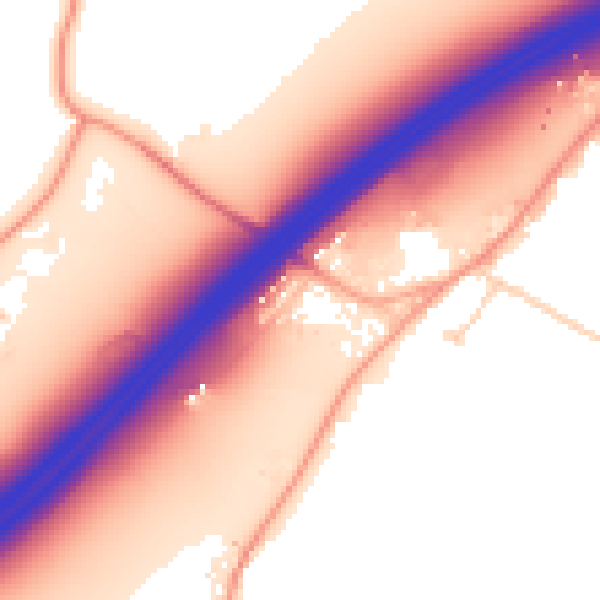
Daytime· 07:00 – 23:00
58.2dB

Night-time· 23:00 – 07:00
51.6dB