15 Clifton Close, Rochester, ME2 2HG
About 15 Clifton Close
15 Clifton Close is a semi-detached house in Rochester (ME2 2HG). It has a recorded floor area of 91 m² (around 980 sq ft), construction records dating it to 1967-1975 and council tax band C. The latest certificate (February 2022) shows a C (score 74). The recommended improvements would push it to B (score 87).
Held since June 2001 — that's 25 years off the open market, well above the local norm. Today's modelled estimate of £306,000 sits 277.8% above the 2001 sale of £81,000. On a £-per-square-foot basis, the last sale (£83/sq ft) was about 56.6% below the postcode norm.
Know exactly what you're buying at 15 Clifton Close
Before you offer, see what the listing won't tell you, the true value, the red flags and the full history.
Valuation
against the asking price
Risks
planning & flood
Sold prices
similar homes nearby
Trends
the local market
Energy performance
EPC Rating
Planning history
15 Clifton Close has no planning applications on record.
Notable planning nearby
1applications of note in the surrounding area
Sales history & valuation
15 Clifton Close's estimated value is more than triple its earliest registered sale price (2001).
£306,000
Modelled from EPC, postcode comparables.
£81,000
Recorded with HM Land Registry.
Sales timeline
10 June 2001Most recent
£81,000
Median price across the last 5 sales in ME2 2HG: £245,000 (2025–2024).
Nearby sales in ME2 2HG
Everything we know about 15 Clifton Close, in one report
What it's really worth, what could be wrong, and the planning, sales and area data in full.
- Am I paying too much?
- Is something wrong with it?
- Is the agent's story true?
- Will it hold its value?

Versus other Clifton Close homes
15 Clifton Close is notably below the street on price per m².
Price per m²
£890
Street avg £2,734
Floor Area
91 m²
Street avg 77 m²
Habitable Rooms
5 rooms
Street avg 4 rooms
CO₂ Emissions
2.5 t/year
Street avg 3.0 t/year
Similar properties nearby
The neighbourhood at a glance
Crime
3/mo
Steady year-on-year across the wider district.
Nearest stop
0.2 km
Maple Road Bottom — bus stop.
Closest school
0.2 km
Elaine Primary School. 23 schools nearby.
Go deeper on the local area
The full report breaks down crime, transport links, schools and air quality in depth.
Road noise across the postcode
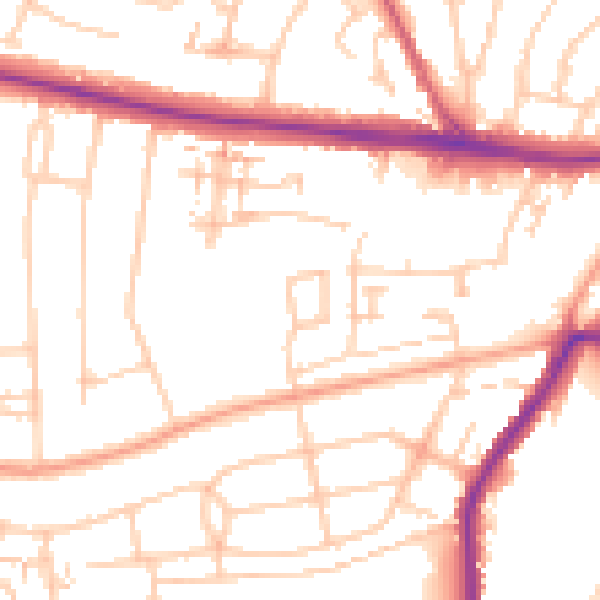
Daytime· 07:00 – 23:00
52.1dB

Night-time· 23:00 – 07:00
42.7dB