26 Brockenhurst Avenue, Maidstone, ME15 7ED
About 26 Brockenhurst Avenue
26 Brockenhurst Avenue is a semi-detached house in Maidstone (ME15 7ED). It has a recorded floor area of 114 m² (around 1227 sq ft), construction records dating it to 1930-1949 and council tax band D. The latest certificate (April 2022) shows a C (score 75), near the top of the C band. When first surveyed in October 2011 the rating was D, the property has climbed 1 band since. Between certificates, roof efficiency went from Poor to Good and lighting went from Good to Very Good; while wall efficiency dropped from Good to Average. The recommended improvements would push it to B (score 85).
Across 2005–2012, sale prices on this property compounded at 1% per year. Today's modelled estimate of £436,000 sits 96.4% above the 2012 sale of £222,000. On a £-per-square-foot basis, the last sale (£181/sq ft) was about 21.8% below the postcode norm. One planning record on file: an extension approved in 2016. Past consents include an extension and partial demolition, meaningful when judging how the property has evolved. 14 years since the last transfer (August 2012).
Know exactly what you're buying at 26 Brockenhurst Avenue
Before you offer, see what the listing won't tell you, the true value, the red flags and the full history.
Already flagged here
Valuation
against the asking price
Risks
planning & flood
Sold prices
similar homes nearby
Trends
the local market
Energy performance
EPC Rating
Property Improvements
Changes detected from historical EPC data
Roof insulation improved
Floor insulation added or improved
More low energy lighting installed
Planning history
Planning history includes recorded demolition works, indicating a major rebuild phase at this address.
- Jul 2016DemolitionFullIn report
Extension: Part single, part two storey · Side and rear of property
Demolition of existing garage and erection of single storey side extension and part single/part two storey rear extension with Juliet balcony
Extension- Documents
- 7 docs on file
- Reference
- 16/504415/FULL
We flagged 2 things worth checking at 26 Brockenhurst Avenue
Independent checks surfaced things a buyer would want to understand before offering. The report explains each one in full, with the underlying data and what to ask.
- Signs of HMO activity in the area
- Larger development activity nearby
30-day money-back guarantee
Sales history & valuation
26 Brockenhurst Avenue valuation sits well clear of the typical sold price in this postcode.
£436,000
Modelled from EPC, postcode comparables and a sale-price growth of 1.0% per year over 7 years.
£222,000
Growth on file: 1.0% per year over 7 years.
Sales timeline
16 August 2012Most recent
£222,000
+6.7%over 6 years28 September 2005
£208,000
Median price across the last 5 sales in ME15 7ED: £375,000 (2022–2018).
Nearby sales in ME15 7ED
22 Brockenhurst Avenue, Maidstone, ME15 7ED
Sold Sept 2022
£540,0008 Brockenhurst Avenue, Maidstone, ME15 7ED
Sold Feb 2020
£350,0007 Brockenhurst Avenue, Maidstone, ME15 7ED
Sold Jan 2020
£400,00017 Brockenhurst Avenue, Maidstone, ME15 7ED
Sold Jul 2018
£375,00016 Brockenhurst Avenue, Maidstone, ME15 7ED
Sold Apr 2018
£318,000
Everything we know about 26 Brockenhurst Avenue, in one report
What it's really worth, what could be wrong, and the planning, sales and area data in full.
What we flagged
- Signs of HMO activity in the area
- Larger development activity nearby

Versus other Brockenhurst Avenue homes
EPC Rating for 26 Brockenhurst Avenue runs comfortably ahead of the street norm.
Price per m²
£1,947
Street avg £3,159
Floor Area
114 m²
Street avg 116 m²
Habitable Rooms
5 rooms
Street avg 6 rooms
CO₂ Emissions
3.1 t/year
Street avg 4.9 t/year
Similar properties nearby
1 Greenside
ME15 7SA
1 Harrower Drive, West Park Road
ME15 7BZ
1 Astley Terrace, Hastings Road
ME15 7BF
1 Beech Hurst Close
ME15 7PG
1 Brockenhurst Avenue
ME15 7ED
1 Finglesham Court
ME15 7HZ
1 Gloucester Road
ME15 7HR
1 Crompton Gardens
ME15 7HD
The neighbourhood at a glance
Daytime road noise here sits well below conversation level — a quiet pocket of the postcode.
Crime
6/mo
Steady year-on-year across the wider district.
Nearest stop
0.3 km
South Park Road — bus stop.
Closest school
0.2 km
Park Way Primary School. 27 schools nearby.
Go deeper on the local area
The full report breaks down crime, transport links, schools and air quality in depth.
Road noise across the postcode
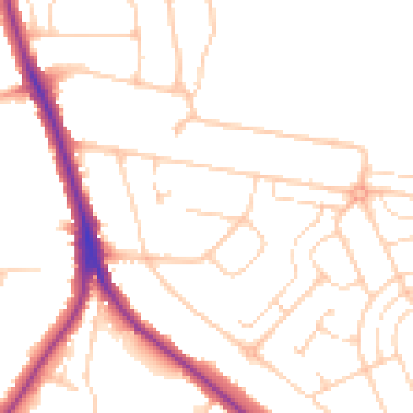
Daytime· 07:00 – 23:00
49.4dB

Night-time· 23:00 – 07:00
40.5dB