68a, Flat, West Park Road, Maidstone, ME15 7AG
About 68a
68a is a semi-detached house in Maidstone (ME15 7AG). It has a recorded floor area of 151 m² (around 1625 sq ft), construction records dating it to 1930-1949 and council tax band B. The latest certificate (February 2017) shows a C (score 70). The recommended improvements would push it to B (score 83).
At 151 m² the property is well over the postcode median (85 m² across 24 EPCs), placing it in the larger end of the local stock. One historical planning record sits against the property in 2016.
Know exactly what you're buying at 68a
Before you offer, see what the listing won't tell you, the true value, the red flags and the full history.
Already flagged here
Valuation
against the asking price
Risks
planning & flood
Sold prices
similar homes nearby
Trends
the local market
Energy performance
EPC Rating
Planning history
- May 2016AdvertisingIn report
Retrospective advertisement consent to display: Part A: One internally illuminated projecting sign and one non-illuminated fascia sign, and Part B: One non-illuminated wall board.sign.
- Documents
- 10 docs on file
- Reference
- 14/504531/ADV
We flagged 2 things worth checking at 68a
Independent checks surfaced things a buyer would want to understand before offering. The report explains each one in full, with the underlying data and what to ask.
- Signs of HMO activity in the area
- Larger development activity nearby
30-day money-back guarantee
Sales history & valuation
68a has no Land Registry sales on file, suggesting it has stayed in the same hands since registration began.
£369,000
Modelled from EPC, postcode comparables.
No sales recorded with HM Land Registry
That can mean the property has never traded since the registry began publishing in 1995, was a new build that hasn't been registered yet, or is held in the same hands long-term.
Median price across the last 5 sales in ME15 7AG: £325,000 (2025–2022).
Nearby sales in ME15 7AG
Everything we know about 68a, in one report
What it's really worth, what could be wrong, and the planning, sales and area data in full.
What we flagged
- Signs of HMO activity in the area
- Larger development activity nearby

Versus other West Park Road homes
On floor area, 68a stands well clear of the street.
EPC Rating
70 (C)
Street avg 66 (D)
Floor Area
151 m²
Street avg 91 m²
CO₂ Emissions
5.1 t/year
Street avg 3.7 t/year
Habitable Rooms
4 rooms
Street avg 5 rooms
Similar properties nearby
1b, Flat 2, Kingsley Road
ME15 7UN
1b, Flat 3, Kingsley Road
ME15 7UN
1b, Flat 1, Kingsley Road
ME15 7UN
36b, Flat 3, Melville Road
ME15 7UR
36b, Flat 1, Melville Road
ME15 7UR
36b, Flat 2, Melville Road
ME15 7UR
2a, Flat 5, Brunswick Street East
ME15 7UX
2a, Flat 6, Brunswick Street East
ME15 7UX
The neighbourhood at a glance
Daytime road noise here sits well below conversation level — a quiet pocket of the postcode.
Crime
6/mo
Steady year-on-year across the wider district.
Nearest stop
0.1 km
York Road — bus stop.
Closest school
0.2 km
Park Way Primary School. 32 schools nearby.
Go deeper on the local area
The full report breaks down crime, transport links, schools and air quality in depth.
Road noise across the postcode
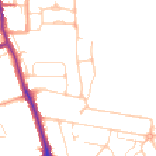
Daytime· 07:00 – 23:00
47.1dB

Night-time· 23:00 – 07:00
38.8dB