Flat 1, 255 High Street, Sheerness, ME12 1UR
About Flat 1
Flat 1 is a one-bedroom mid-terrace house in Sheerness (ME12 1UR). It has a recorded floor area of 64 m² (around 689 sq ft), construction records dating it to before 1900 and council tax band A. The latest certificate (November 2023) shows a D (score 62), on the cusp of jumping into the C band. The rating has held steady at D across 2 certificates since October 2013. The recommended improvements would push it to C (score 76).
It hasn't traded since April 1997, a hold of 29 years that's notably long for the area. Only one transfer is on record with HM Land Registry, suggesting it has stayed in the same hands for a long time. Today's modelled estimate of £148,000 sits 604.8% above the 1997 sale of £21,000. On a £-per-square-foot basis, the last sale (£30/sq ft) was about 70.7% below the postcode norm. At 64 m² it's 20.8% larger than the typical home in the postcode (53 m² median across 24 EPCs).
What this property has
Inside
- Bedrooms1
- Bathrooms1
Building
- Central heatingYes
Everything you need to know about Flat 1
The true value, the hidden risks and the full sale history, in one report.
30-day money-back guarantee

The data behind every report


Energy performance
EPC Rating
Planning history
Flat 1 has no planning applications on record.
Notable planning nearby
5applications of note in the surrounding area
We flagged 1 thing worth checking at Flat 1
Independent checks surfaced things a buyer would want to understand before offering. The report explains each one in full, with the underlying data and what to ask.
- Larger development activity nearby
30-day money-back guarantee
Sales history & valuation
Flat 1's modelled value sits at over four times its earliest registered sale price (1997).
£148,000
Modelled from EPC, postcode comparables.
£21,000
Recorded with HM Land Registry.
Sales timeline
21 April 1997Most recent
£21,000
Median price across the last 5 sales in ME12 1UR: £145,000 (2024–2013).
Nearby sales in ME12 1UR
Versus other High Street homes
On habitable rooms, Flat 1 stands well clear of the street.
Price per m²
£328
Street avg £1,717
Floor Area
64 m²
Street avg 47 m²
Habitable Rooms
4 rooms
Street avg 3 rooms
CO₂ Emissions
3.1 t/year
Street avg 2.1 t/year
Everything you need to know about Flat 1
The true value, the hidden risks and the full sale history, in one report.
30-day money-back guarantee
The data behind every report
Similar properties nearby
8 10, Flat 1, Hope Street
ME12 1QH
64a, Flat 1, Rose Street
ME12 1AJ
31a, Flat, St Georges Avenue
ME12 1QX
133 135, Flat 1, High Street
ME12 1UD
31a, Top Flat, St Georges Avenue
ME12 1QX
231 235, Flat 1, High Street
ME12 1UR
8 10, Flat 2, Hope Street
ME12 1QH
133 135, Flat 3, High Street
ME12 1UD
The neighbourhood at a glance
Rail-style transport is unusually close for this postcode.
Crime
4/mo
Steady year-on-year across the wider district.
Nearest stop
0.1 km
Coronation Road — bus stop.
Closest school
0.5 km
Rose Street Primary School. 8 schools nearby.
Go deeper on the local area
The full report breaks down crime, transport links, schools and air quality in depth.
Road noise across the postcode
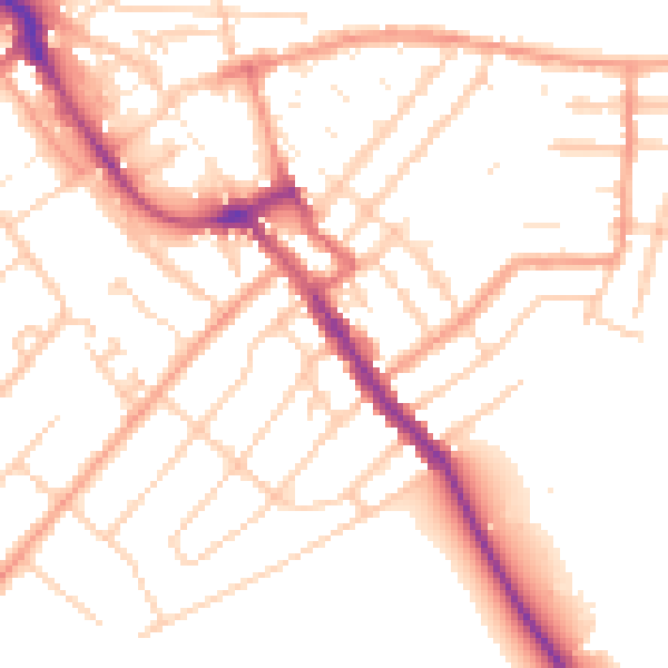
Daytime· 07:00 – 23:00
51.7dB

Night-time· 23:00 – 07:00
41.4dB