219 High Street, Sheerness, ME12 1UR
About 219 High Street
219 High Street is a three-bedroom end-of-terrace house in Sheerness (ME12 1UR). It has a recorded floor area of 93 m² (around 1001 sq ft), construction records dating it to 1930-1949 and council tax band B. The latest certificate (March 2014) shows an E (score 45), well below the UK norm with real room to improve. The rating has held steady at E across 2 certificates since March 2013. Between certificates, lighting went from Average to Very Good; while roof efficiency dropped from Average to Poor. The recommended improvements would lift it to B (score 82), a 3-band jump. The latest certificate is from March 2014, so improvements made since then won't be reflected.
At 93 m² the property is well over the postcode median (53 m² across 24 EPCs), placing it in the larger end of the local stock. Across 2003–2015, sale prices on this property compounded at 3.4% per year. Today's modelled estimate of £196,000 sits 56.8% above the 2015 sale of £125,000. On a £-per-square-foot basis, the last sale (£125/sq ft) was about 45% above the typical sold price in the postcode. 11 years since the last transfer (January 2015).
What this property has
Inside
- Bedrooms3
- Dining roomYes
Building
- Heating systemElectric
Everything you need to know about 219 High Street
The true value, the hidden risks and the full sale history, in one report.
30-day money-back guarantee

The data behind every report


Energy performance
219 High Street's carbon output runs well above what efficient homes in the postcode produce.
EPC Expired
This certificate is over 10 years old and is no longer valid.Expired 11 Mar 2024
EPC Rating
Property Improvements
Changes detected from historical EPC data
More low energy lighting installed
Planning history
219 High Street has no planning applications on record.
Notable planning nearby
5applications of note in the surrounding area
We flagged 1 thing worth checking at 219 High Street
Independent checks surfaced things a buyer would want to understand before offering. The report explains each one in full, with the underlying data and what to ask.
- Larger development activity nearby
30-day money-back guarantee
Sales history & valuation
219 High Street valuation sits well clear of the typical sold price in this postcode.
£196,000
Modelled from EPC, postcode comparables and a sale-price growth of 3.4% per year over 12 years.
£125,000
Growth on file: 3.4% per year over 12 years.
Sales timeline
30 January 2015Most recent
£125,000
+17.9%over 5 years11 January 2010
£106,000
+24.7%over 6 years20 July 2003
£84,995
Median price across the last 5 sales in ME12 1UR: £145,000 (2024–2006).
Nearby sales in ME12 1UR
229a, High Street, Sheerness, ME12 1UR
Sold Jul 2024
£181,000213 High Street, Sheerness, ME12 1UR
Sold Mar 2022
£145,000Flat 1, 225 High Street, Sheerness, ME12 1UR
Sold Dec 2016
£80,000251 High Street, Sheerness, ME12 1UR
Sold Oct 2013
£164,000Flat 3, 229 High Street, Sheerness, ME12 1UR
Sold Mar 2006
£70,000
Versus other High Street homes
219 High Street is notably below the street on habitable rooms.
Price per m²
£1,344
Street avg £1,023
Floor Area
93 m²
Street avg 127 m²
Habitable Rooms
4 rooms
Street avg 7 rooms
CO₂ Emissions
6.9 t/year
Street avg 6.5 t/year
Everything you need to know about 219 High Street
The true value, the hidden risks and the full sale history, in one report.
30-day money-back guarantee
The data behind every report
Similar properties nearby
1 Alder Close
ME12 1JW
1 Beach Street
ME12 1RE
1 Appledore Avenue
ME12 1HF
1 Beach Terrace, Beach Street
ME12 1RF
1 Estuary Road
ME12 1DY
1 First Avenue
ME12 1YE
1 Clarence Row
ME12 1RD
1 Diamond Court, Bridgewater Road
ME12 1BD
The neighbourhood at a glance
Rail-style transport is unusually close for this postcode.
Crime
4/mo
Steady year-on-year across the wider district.
Nearest stop
0.1 km
Coronation Road — bus stop.
Closest school
0.5 km
Rose Street Primary School. 8 schools nearby.
Go deeper on the local area
The full report breaks down crime, transport links, schools and air quality in depth.
Road noise across the postcode
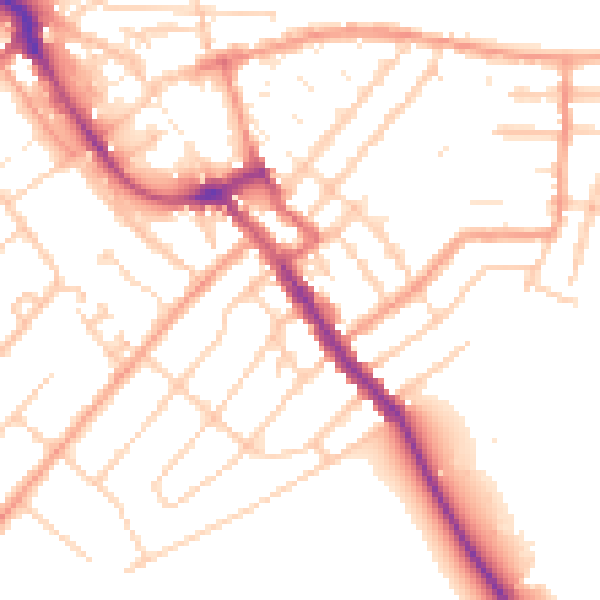
Daytime· 07:00 – 23:00
51.7dB

Night-time· 23:00 – 07:00
41.4dB