195 High Street, Sheerness, ME12 1UJ
About 195 High Street
195 High Street is a mid-terrace house in Sheerness (ME12 1UJ). It has a recorded floor area of 49 m² (around 527 sq ft) and construction records dating it to 1976-1982. The latest certificate (December 2019) shows a D (score 66), on the cusp of jumping into the C band. The recommended improvements would push it to C (score 73).
At 49 m² it's 19.7% smaller than the typical home in the postcode (61 m² median across 9 EPCs). One historical planning record sits against the property in 2006.
Everything you need to know about 195 High Street
The true value, the hidden risks and the full sale history, in one report.
30-day money-back guarantee

The data behind every report


Energy performance
EPC Rating
Planning history
- Dec 2006Change Of UseFullIn report
Change of use to sales of motorcycles, scooters, spares and accessories.
- Documents
- 8 docs on file
- Reference
- SW/06/1258
We flagged 1 thing worth checking at 195 High Street
Independent checks surfaced things a buyer would want to understand before offering. The report explains each one in full, with the underlying data and what to ask.
- Larger development activity nearby
30-day money-back guarantee
Sales history & valuation
195 High Street has no Land Registry sales on file, suggesting it has stayed in the same hands since registration began.
£149,000
Modelled from EPC, postcode comparables.
No sales recorded with HM Land Registry
That can mean the property has never traded since the registry began publishing in 1995, was a new build that hasn't been registered yet, or is held in the same hands long-term.
Median price across the last 5 sales in ME12 1UJ: £110,000 (2023–2002).
Nearby sales in ME12 1UJ
199 201, High Street, Sheerness, ME12 1UJ
Sold Aug 2023
£196,000197a, High Street, Sheerness, ME12 1UJ
Sold Feb 2020
£130,000189a, High Street, Sheerness, ME12 1UJ
Sold Jul 2006
£110,000Flat 1, 195 High Street, Sheerness, ME12 1UJ
Sold Jul 2003
£60,000185a, High Street, Sheerness, ME12 1UJ
Sold Dec 2002
£110,000
Versus other High Street homes
CO₂ Emissions for 195 High Street runs comfortably ahead of the street norm.
EPC Rating
66 (D)
Street avg 56 (D)
Floor Area
49 m²
Street avg 63 m²
CO₂ Emissions
2.2 t/year
Street avg 3.3 t/year
Habitable Rooms
2 rooms
Street avg 3 rooms
Everything you need to know about 195 High Street
The true value, the hidden risks and the full sale history, in one report.
30-day money-back guarantee
The data behind every report
Similar properties nearby
The neighbourhood at a glance
Rail-style transport is unusually close for this postcode.
Crime
4/mo
Steady year-on-year across the wider district.
Nearest stop
0.0 km
Fire Station — bus stop.
Closest school
0.4 km
Rose Street Primary School. 8 schools nearby.
Go deeper on the local area
The full report breaks down crime, transport links, schools and air quality in depth.
Road noise across the postcode
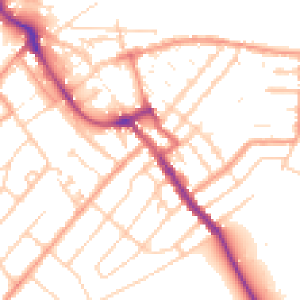
Daytime· 07:00 – 23:00
52.0dB

Night-time· 23:00 – 07:00
41.5dB