177a, St Georges Avenue, Sheerness, ME12 1DS
About 177a
177a is an end-of-terrace house in Sheerness (ME12 1DS). It has a recorded floor area of 43 m² (around 463 sq ft) and construction records dating it to 1950-1966. At 43 m² this is the smallest unit on EPC record across the building (43–108 m²). The building's EPC ratings span F to C across 20 units on file. The latest certificate (April 2021) shows a D (score 66), on the cusp of jumping into the C band. Earlier certificates rated it C (April 2020); the latest reading is one band lower. Between certificates, wall efficiency dropped from Average to Poor. The recommended improvements would push it to C (score 71).
At 43 m² it sits well below the postcode median (73 m² across 19 EPCs), making it one of the more compact homes locally.
Everything you need to know about 177a
The true value, the hidden risks and the full sale history, in one report.
30-day money-back guarantee

The data behind every report


Energy performance
EPC Rating
Planning history
177a has no planning applications on record.
Notable planning nearby
5applications of note in the surrounding area
We flagged 1 thing worth checking at 177a
Independent checks surfaced things a buyer would want to understand before offering. The report explains each one in full, with the underlying data and what to ask.
- Larger development activity nearby
30-day money-back guarantee
Sales history & valuation
177a has no Land Registry sales on file, suggesting it has stayed in the same hands since registration began.
£143,000
Modelled from EPC, postcode comparables.
No sales recorded with HM Land Registry
That can mean the property has never traded since the registry began publishing in 1995, was a new build that hasn't been registered yet, or is held in the same hands long-term.
Median price across the last 5 sales in ME12 1DS: £185,000 (2025–2018).
Nearby sales in ME12 1DS
147 St Georges Avenue, Sheerness, ME12 1DS
Sold Mar 2025
£205,000140 St Georges Avenue, Sheerness, ME12 1DS
Sold Aug 2019
£185,000171 St Georges Avenue, Sheerness, ME12 1DS
Sold Aug 2018
£160,000173 St Georges Avenue, Sheerness, ME12 1DS
Sold Apr 2018
£200,000153 St Georges Avenue, Sheerness, ME12 1DS
Sold Feb 2018
£150,000
Everything you need to know about 177a
The true value, the hidden risks and the full sale history, in one report.
30-day money-back guarantee
The data behind every report
Similar properties nearby
The neighbourhood at a glance
Rail-style transport is unusually close for this postcode.
Crime
4/mo
Steady year-on-year across the wider district.
Nearest stop
0.0 km
Wheatsheaf Gardens — bus stop.
Closest school
0.4 km
West Minster Primary School. 8 schools nearby.
Go deeper on the local area
The full report breaks down crime, transport links, schools and air quality in depth.
Road noise across the postcode
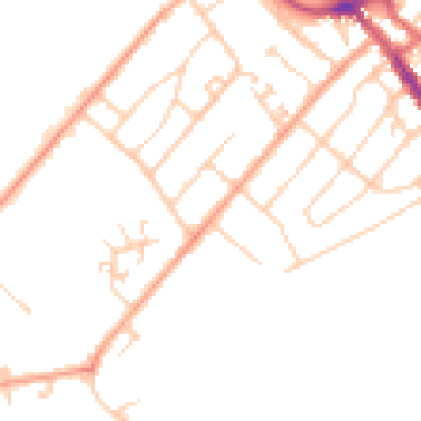
Daytime· 07:00 – 23:00
47.3dB

Night-time· 23:00 – 07:00
37.9dB