12a, New Street, Sheerness, ME12 1BP
About 12a
12a is an end-of-terrace house in Sheerness (ME12 1BP). It has a recorded floor area of 65 m² (around 700 sq ft), construction records dating it to 1900-1929 and council tax band A. The latest certificate (November 2017) shows an E (score 46), well below the UK norm with real room to improve. The recommended improvements would lift it to C (score 76), a 2-band jump.
Across 2018–2020, sale prices on this property compounded at 10.2% per year. Today's modelled estimate of £195,000 sits 66.7% above the 2020 sale of £117,000. On a £-per-square-foot basis, the last sale (£167/sq ft) was about 54.2% above the typical sold price in the postcode. It lags the bulk of the postcode on energy efficiency (less efficient than 86% of similar EPCs). Most recent transfer: January 2020 at £117,000.
Everything you need to know about 12a
The true value, the hidden risks and the full sale history, in one report.
30-day money-back guarantee

The data behind every report


Energy performance
Recommended upgrades on file would lift this property by multiple EPC bands.
EPC Rating
Planning history
12a has no planning applications on record.
Notable planning nearby
5applications of note in the surrounding area
We flagged 1 thing worth checking at 12a
Independent checks surfaced things a buyer would want to understand before offering. The report explains each one in full, with the underlying data and what to ask.
- Larger development activity nearby
30-day money-back guarantee
Sales history & valuation
12a changed hands twice within eighteen months — unusual for the area.
£195,000
Modelled from EPC, postcode comparables and a sale-price growth of 10.2% per year over 1 year.
£117,000
Growth on file: 10.2% per year over 1 year.
Sales timeline
14 January 2020Most recent
£117,000
+14.7%over 1 year16 August 2018
£102,000
Median price across the last 5 sales in ME12 1BP: £94,000 (2022–2011).
Versus other New Street homes
12a is notably below the street on epc rating.
Price per m²
£1,800
Street avg £1,468
Floor Area
65 m²
Street avg 67 m²
Habitable Rooms
4 rooms
Street avg 4 rooms
CO₂ Emissions
4.4 t/year
Street avg 3.2 t/year
Everything you need to know about 12a
The true value, the hidden risks and the full sale history, in one report.
30-day money-back guarantee
The data behind every report
Similar properties nearby
The neighbourhood at a glance
Rail-style transport is unusually close for this postcode.
Crime
4/mo
Steady year-on-year across the wider district.
Nearest stop
0.2 km
Medway Road — bus stop.
Closest school
0.2 km
St Edward's Catholic Primary School. 8 schools nearby.
Go deeper on the local area
The full report breaks down crime, transport links, schools and air quality in depth.
Road noise across the postcode
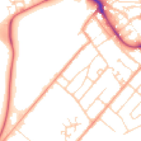
Daytime· 07:00 – 23:00
51.2dB

Night-time· 23:00 – 07:00
41.3dB