1 Kew Drive, Urmston, Manchester, M41 7UW
About 1 Kew Drive
1 Kew Drive is a two-bedroom end-of-terrace house in Urmston, Manchester, Manchester (M41 7UW). It has a recorded floor area of 55 m² (around 592 sq ft), construction records dating it to 1950-1966 and council tax band A. At 55 m² this is the 4th smallest of 10 units on EPC record in the building, where floor areas span 47–95 m². The building's EPC ratings span E to C, with this unit at the bottom. On EPC score it ranks last in the building (41 versus a best of 75). The home occupies a cul-de-sac position. The latest certificate (September 2016) shows an E (score 41), well below the UK norm with real room to improve. The recommended improvements would push it to D (score 57). Main heating runs on electricity.
Untraded for 30 years, with the last transfer in October 1996. Only one transfer is on record with HM Land Registry, suggesting it has stayed in the same hands for a long time. Today's modelled estimate of £163,000 sits 323.4% above the 1996 sale of £38,500. On a £-per-square-foot basis, the last sale (£65/sq ft) was about 62.7% below the postcode norm. At 55 m² it sits well below the postcode median (79 m² across 9 EPCs), making it one of the more compact homes locally.
What this property has
Inside
- Bedrooms2
- Bathrooms1
Outside
- DrivewayYes
- Cul-de-sacYes
Building
- Heating systemGas
Everything you need to know about 1 Kew Drive
The true value, the hidden risks and the full sale history, in one report.
Pick your report · every report is £14.99
One time fee only - money back guarantee

The data behind every report


Energy performance
EPC Rating
Get a survey for this property
Level 2 HomeBuyer Report
We've checked 10 risk factors against the available data for this property and believe a Level 2 HomeBuyer Report could be a suitable option for you.
From £495 · Includes VAT
Planning history
1 Kew Drive has no planning applications on record.
But the area is active
3 notable applications nearby — larger schemes and conversions that could reshape the street. The report maps them all.
Sales history & valuation
1 Kew Drive's modelled value sits at over four times its earliest registered sale price (1996).
£163,000
Modelled from EPC, postcode comparables.
£38,500
Recorded with HM Land Registry.
Sales timeline
17 October 1996Most recent
£38,500
Median price across the last 5 sales in M41 7UW: £147,500 (2022–2004).
Nearby sales in M41 7UW
7 Kew Drive, Urmston, Manchester, M41 7UW
Sold Apr 2022
£260,00013 Kew Drive, Urmston, Manchester, M41 7UW
Sold Sept 2018
£195,00025 Kew Drive, Urmston, Manchester, M41 7UW
Sold Sept 2010
£133,00011 Kew Drive, Urmston, Manchester, M41 7UW
Sold Mar 2006
£147,50019 Kew Drive, Urmston, Manchester, M41 7UW
Sold Jun 2004
£127,500
Versus other Kew Drive homes
On epc rating, 1 Kew Drive runs well behind the street norm.
EPC Rating
41 (E)
Street avg 72 (C)
Floor Area
55 m²
Street avg 47 m²
CO₂ Emissions
3.4 t/year
Street avg 1.8 t/year
Habitable Rooms
2 rooms
Street avg 2 rooms
Everything you need to know about 1 Kew Drive
The true value, the hidden risks and the full sale history, in one report.
Pick your report · every report is £14.99
One time fee only - money back guarantee
The data behind every report
Similar properties nearby
1 Denstone Road, Urmston
M41 7DT
1 Hoy Drive, Urmston
M41 7HF
1 Iona Way, Urmston
M41 7EY
1 Bent Terrace, Urmston
M41 7NA
1 Kingsway Park, Urmston
M41 7EB
1 Harris Avenue, Urmston
M41 7FT
1 Amersham Close, Urmston
M41 7NJ
1 Bedford Road, Urmston
M41 7BD
The neighbourhood at a glance
Crime
1/mo
Steady year-on-year across the wider district.
Nearest stop
0.1 km
Woodhouse Road — bus stop.
Closest school
0.1 km
Woodhouse Primary School. 27 schools nearby.
Go deeper on the local area
A Local Area report breaks down crime, transport links, schools and air quality in depth.
Road noise across the postcode
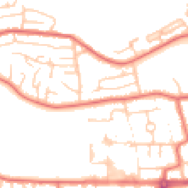
Daytime· 07:00 – 23:00
51.4dB

Night-time· 23:00 – 07:00
41.5dB