8 Eastwood Avenue, Urmston, Manchester, M41 0XG
About 8 Eastwood Avenue
8 Eastwood Avenue is a two-bedroom semi-detached house in Urmston, Manchester, Manchester (M41 0XG). It has a recorded floor area of 51 m² (around 549 sq ft), construction records dating it to 1950-1966 and council tax band B. Other recorded features include a conservatory. The latest certificate (January 2022) shows a C (score 69), just inside the C band. The recommended improvements would push it to B (score 88).
Today's modelled estimate of £276,000 is 33.3% above the 2022 sale price. On a £-per-square-foot basis, the last sale (£377/sq ft) was about 276.4% above the typical sold price in the postcode. Sold March 2022 for £207,000. That sale was during the post-pandemic price surge, when transactions cleared materially above pre-2020 trend.
What this property has
Inside
- Bedrooms2
- Bathrooms1
- Dining roomYes
- EnsuiteYes
- ConservatoryYes
Outside
- Private gardenRear
Everything you need to know about 8 Eastwood Avenue
The true value, the hidden risks and the full sale history, in one report.
Pick your report · every report is £14.99
One time fee only - money back guarantee

The data behind every report


Energy performance
EPC Rating
Get a survey for this property
Level 2 HomeBuyer Report
We've checked 10 risk factors against the available data for this property and believe a Level 2 HomeBuyer Report could be a suitable option for you.
From £545 · Includes VAT
Planning history
8 Eastwood Avenue has no planning applications on record.
But the area is active
3 notable applications nearby — larger schemes and conversions that could reshape the street. The report maps them all.
Sales history & valuation
The latest sale landed in the post-pandemic price surge — useful context when reading the figure.
£276,000
Modelled from EPC, postcode comparables.
£207,000
Recorded with HM Land Registry.
Sales timeline
8 March 2022Most recent
£207,000
Median price across the last 5 sales in M41 0XG: £132,000 (2024–2001).
Nearby sales in M41 0XG
2 Eastwood Avenue, Urmston, Manchester, M41 0XG
Sold Apr 2024
£290,0005 Eastwood Avenue, Urmston, Manchester, M41 0XG
Sold Nov 2007
£110,0003 Eastwood Avenue, Urmston, Manchester, M41 0XG
Sold Aug 2004
£155,00015 Eastwood Avenue, Urmston, Manchester, M41 0XG
Sold May 2004
£132,0004 Eastwood Avenue, Urmston, Manchester, M41 0XG
Sold Jul 2001
£63,000
Versus other Eastwood Avenue homes
EPC Rating for 8 Eastwood Avenue lags the street by a wide margin.
EPC Rating
69 (C)
Street avg 68 (D)
Floor Area
51 m²
Street avg 58 m²
CO₂ Emissions
2.1 t/year
Street avg 2.5 t/year
Habitable Rooms
3 rooms
Street avg 3 rooms
Everything you need to know about 8 Eastwood Avenue
The true value, the hidden risks and the full sale history, in one report.
Pick your report · every report is £14.99
One time fee only - money back guarantee
The data behind every report
Similar properties nearby
1 Hartford Road, Urmston
M41 0RZ
1 Chester Avenue, Urmston
M41 0ZH
1 Chislehurst Avenue, Urmston
M41 0SG
1 Dorchester Avenue, Urmston
M41 0QJ
1 Furness Road, Urmston
M41 0UQ
1 Ellaston Drive, Urmston
M41 0XB
1 Derby Road, Urmston
M41 0UF
1 Ely Gardens, Urmston
M41 0XF
The neighbourhood at a glance
Rail-style transport is unusually close for this postcode.
Crime
1/mo
Steady year-on-year across the wider district.
Nearest stop
0.2 km
Trafford Depot — bus stop.
Closest school
0.4 km
Davyhulme Primary School. 27 schools nearby.
Go deeper on the local area
A Local Area report breaks down crime, transport links, schools and air quality in depth.
Road noise across the postcode
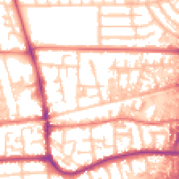
Daytime· 07:00 – 23:00
55.8dB

Night-time· 23:00 – 07:00
46.8dB