18 Kirkstall Road, Urmston, Manchester, M41 0GP
About 18 Kirkstall Road
18 Kirkstall Road is a three-bedroom semi-detached house in Urmston, Manchester, Manchester (M41 0GP). It has a recorded floor area of 81 m² (around 868 sq ft), construction records dating it to 1930-1949 and council tax band C. The latest certificate (March 2011) shows a C (score 72). The latest certificate is from March 2011, so improvements made since then won't be reflected.
Held since April 2008 — that's 18 years off the open market, well above the local norm. That sale landed at the peak of the pre-credit-crunch market, which is a useful reference point when interpreting the price. Today's modelled estimate of £366,000 sits 107.4% above the 2008 sale of £176,500. Its energy rating outperforms most of the postcode (better than 70% of similar EPCs).
What this property has
Inside
- Bedrooms3
- Dining roomYes
- CloakroomYes
Outside
- Private gardenFront and rear
- GarageDetached
Building
- Heating systemGas
- RefurbishedYes
Everything you need to know about 18 Kirkstall Road
The true value, the hidden risks and the full sale history, in one report.
Pick your report · every report is £14.99
One time fee only - money back guarantee

The data behind every report


Energy performance
18 Kirkstall Road's EPC is over a decade old — improvements since won't be reflected.
EPC Expired
This certificate is over 10 years old and is no longer valid.Expired 30 Mar 2021
EPC Rating
Get a survey for this property
Level 2 HomeBuyer Report
We've checked 10 risk factors against the available data for this property and believe a Level 2 HomeBuyer Report could be a suitable option for you.
From £595 · Includes VAT
Planning history
18 Kirkstall Road has no planning applications on record.
But the area is active
3 notable applications nearby — larger schemes and conversions that could reshape the street. The report maps them all.
Sales history & valuation
The latest sale landed at the peak of the pre-credit-crunch market — a high-water reference point.
£366,000
Modelled from EPC, postcode comparables.
£176,500
Recorded with HM Land Registry.
Sales timeline
30 April 2008Most recent
£176,500
Median price across the last 5 sales in M41 0GP: £381,500 (2025–2019).
Nearby sales in M41 0GP
2 Kirkstall Road, Urmston, Manchester, M41 0GP
Sold Oct 2025
£530,00024 Kirkstall Road, Urmston, Manchester, M41 0GP
Sold Apr 2025
£433,00040 Kirkstall Road, Urmston, Manchester, M41 0GP
Sold Nov 2022
£350,00026 Kirkstall Road, Urmston, Manchester, M41 0GP
Sold Apr 2021
£370,0006 Kirkstall Road, Urmston, Manchester, M41 0GP
Sold Oct 2019
£381,500
Versus other Kirkstall Road homes
18 Kirkstall Road is notably below the street on floor area.
Price per m²
£2,190
Street avg £2,913
Floor Area
81 m²
Street avg 97 m²
Habitable Rooms
4 rooms
Street avg 6 rooms
CO₂ Emissions
2.7 t/year
Street avg 4.0 t/year
Everything you need to know about 18 Kirkstall Road
The true value, the hidden risks and the full sale history, in one report.
Pick your report · every report is £14.99
One time fee only - money back guarantee
The data behind every report
Similar properties nearby
1 Chester Avenue, Urmston
M41 0ZH
1 Hartford Road, Urmston
M41 0RZ
1 Chislehurst Avenue, Urmston
M41 0SG
1 Dorchester Avenue, Urmston
M41 0QJ
1 Furness Road, Urmston
M41 0UQ
1 Ellaston Drive, Urmston
M41 0XB
1 Derby Road, Urmston
M41 0UF
1 Exeter Road, Urmston
M41 0RF
The neighbourhood at a glance
Rail-style transport is unusually close for this postcode.
Crime
1/mo
Steady year-on-year across the wider district.
Nearest stop
0.1 km
Cavendish Road — bus stop.
Closest school
0.4 km
Davyhulme Primary School. 27 schools nearby.
Go deeper on the local area
A Local Area report breaks down crime, transport links, schools and air quality in depth.
Road noise across the postcode
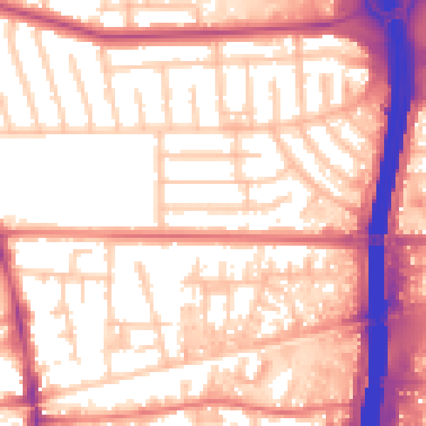
Daytime· 07:00 – 23:00
57.7dB

Night-time· 23:00 – 07:00
49.2dB