2 Coral Road, Worsley, Manchester, M28 3YH
About 2 Coral Road
2 Coral Road is a four-bedroom detached house in Worsley, Manchester, Manchester (M28 3YH). It has a recorded floor area of 116 m² (around 1249 sq ft) and council tax band D. The latest certificate (May 2016) returns a B (score 84), comfortably above the UK average. The recommended improvements would push it to A (score 94). The latest certificate is from May 2016, so improvements made since then won't be reflected.
One planning record on file: an extension approved in 2022. Past consents include an extension, meaningful when judging how the property has evolved. Across 2016–2022, sale prices on this property compounded at 7.6% per year. Today's modelled estimate of £457,000 is 11.5% above the 2022 sale price. On a £-per-square-foot basis, the last sale (£328/sq ft) was about 40.1% above the typical sold price in the postcode. Most recent transfer: March 2022 at £410,000. That sale was during the post-pandemic price surge, when transactions cleared materially above pre-2020 trend.
What this property has
Inside
- Bedrooms4
- Bathrooms2
Everything you need to know about 2 Coral Road
The true value, the hidden risks and the full sale history, in one report.
Pick your report · every report is £14.99
One time fee only - money back guarantee

The data behind every report


Energy performance
EPC Expired
This certificate is over 10 years old and is no longer valid.Expired 24 May 2026
EPC Rating
Get a survey for this property
Level 2 HomeBuyer Report
We've checked 10 risk factors against the available data for this property and believe a Level 2 HomeBuyer Report could be a suitable option for you.
From £695 · Includes VAT
Planning history
2 Coral Road has an approved single-storey rear extension on the planning record.
1 application on record at 2 Coral Road, Worsley, Manchester, M28 3YH
- Sept 2022ExtensionFullOutcome in report
Extension: Single storey · Rear of property
Single storey rear extension
- Documents
- 12 docs on file
- Reference
- 22/80095/HH
Unlock 2 Coral Road, Worsley, Manchester, M28 3YH's full planning history
You're seeing the shape of it. The report has the substance.
- Every decision — granted, refused or withdrawn (1 on record)
- All 1 application on this property in full, plus 15 notable nearby
- The 12 documents, officer reports & conditions
- What the pattern means for extending or converting here
One time fee only - money back guarantee
Sales history & valuation
The latest sale landed in the post-pandemic price surge — useful context when reading the figure.
£457,000
Modelled from EPC, postcode comparables and a sale-price growth of 7.6% per year over 6 years.
£410,000
Growth on file: 7.6% per year over 6 years.
Sales timeline
18 March 2022Most recent
£410,000
+52.7%over 5 years30 May 2016
£268,500
Median price across the last 5 sales in M28 3YH: £406,790 (2024–2020).
Nearby sales in M28 3YH
8 Coral Road, Worsley, Manchester, M28 3YH
Sold Jun 2024
£435,0001 Coral Road, Worsley, Manchester, M28 3YH
Sold Aug 2022
£410,0005 Coral Road, Worsley, Manchester, M28 3YH
Sold May 2022
£406,7903 Coral Road, Worsley, Manchester, M28 3YH
Sold Nov 2021
£375,0007 Coral Road, Worsley, Manchester, M28 3YH
Sold Jun 2016
£269,950
Versus other Coral Road homes
CO₂ Emissions for 2 Coral Road runs comfortably ahead of the street norm.
Price per m²
£3,534
Street avg £3,064
Floor Area
116 m²
Street avg 115 m²
CO₂ Emissions
1.8 t/year
Street avg 1.9 t/year
Years Held
4 years
Street avg 6 years
Everything you need to know about 2 Coral Road
The true value, the hidden risks and the full sale history, in one report.
Pick your report · every report is £14.99
One time fee only - money back guarantee
The data behind every report
Similar properties nearby
1 Bonnington Close, Worsley
M28 3UP
1 Coral Road, Worsley
M28 3YH
1 Chirk Lane, Worsley
M28 3UN
1 Bryony Close, Worsley
M28 3GR
1 Church Road, Worsley
M28 3LW
1 Algernon Road, Worsley
M28 3RD
1 Chilham Road, Worsley
M28 3DP
1 Athens Drive, Worsley
M28 3DD
The neighbourhood at a glance
Nearest stop
0.2 km
Moss Lane — bus stop.
Closest school
0.4 km
St Paul's CofE Primary School. 37 schools nearby.
Go deeper on the local area
A Local Area report breaks down crime, transport links, schools and air quality in depth.
Road noise across the postcode
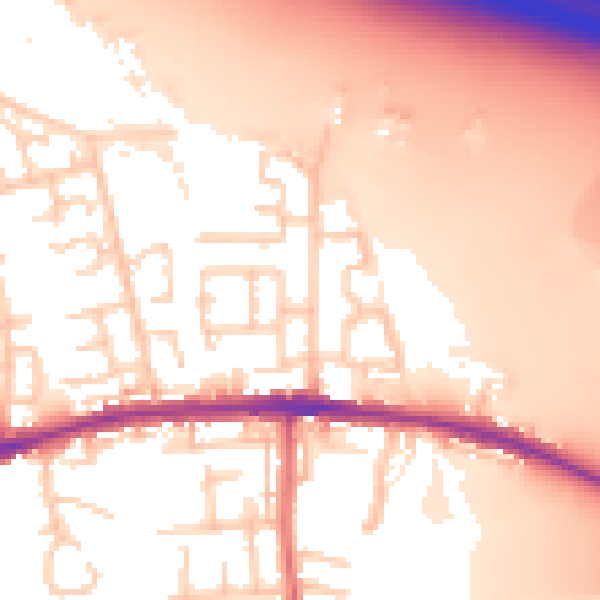
Daytime· 07:00 – 23:00
56.2dB

Night-time· 23:00 – 07:00
49.2dB