3 Nowell Road, Middleton, Manchester, M24 6EF
About 3 Nowell Road
3 Nowell Road is a three-bedroom semi-detached house in Middleton, Manchester, Manchester (M24 6EF). It has a recorded floor area of 86 m² (around 926 sq ft), construction records dating it to 1950-1966 and council tax band A. The latest certificate (September 2015) shows a C (score 69), just inside the C band. The recommended improvements would push it to B (score 84). The latest certificate is from September 2015, so improvements made since then won't be reflected.
Across 2015–2018, sale prices on this property compounded at 6.2% per year. Today's modelled estimate of £177,000 sits 64.7% above the 2018 sale of £107,500. On the market in March 2018 and unlisted since — roughly 8 years.
What this property has
Inside
- Bedrooms3
- Bathrooms1
Outside
- Private gardenSide and rear
- ParkingOff road
Everything you need to know about 3 Nowell Road
The true value, the hidden risks and the full sale history, in one report.
Pick your report · every report is £14.99
One time fee only - money back guarantee

The data behind every report


Energy performance
EPC Expired
This certificate is over 10 years old and is no longer valid.Expired 06 Sept 2025
EPC Rating
Get a survey for this property
Level 2 HomeBuyer Report
We've checked 10 risk factors against the available data for this property and believe a Level 2 HomeBuyer Report could be a suitable option for you.
From £495 · Includes VAT
Planning history
3 Nowell Road has no planning applications on record.
But the area is active
3 notable applications nearby — larger schemes and conversions that could reshape the street. The report maps them all.
Sales history & valuation
£177,000
Modelled from EPC, postcode comparables and a sale-price growth of 6.2% per year over 2 years.
£107,500
Growth on file: 6.2% per year over 2 years.
Sales timeline
19 March 2018Most recent
£107,500
+15.0%over 2 years20 November 2015
£93,500
Median price across the last 1 sales in M24 6EF: £115,000 (2007–2007).
Nearby sales in M24 6EF
Everything you need to know about 3 Nowell Road
The true value, the hidden risks and the full sale history, in one report.
Pick your report · every report is £14.99
One time fee only - money back guarantee
The data behind every report
Similar properties nearby
1 Forde Close, Middleton
M24 6EB
1 New Lane, Middleton
M24 6DE
1 Furness Road, Middleton
M24 6FQ
1 Gilwood Grove, Middleton
M24 6TH
1 Hopwood Road, Middleton
M24 6HU
1 Barrowfield Walk, Middleton
M24 6AJ
1 Nowell Road, Middleton
M24 6EF
1 Abbey Road, Middleton
M24 6HL
The neighbourhood at a glance
Crime
1/mo
Steady year-on-year across the wider district.
Nearest stop
0.1 km
Sherbourne Road — bus stop.
Closest school
0.2 km
Hollin Primary School. 25 schools nearby.
Go deeper on the local area
A Local Area report breaks down crime, transport links, schools and air quality in depth.
Road noise across the postcode
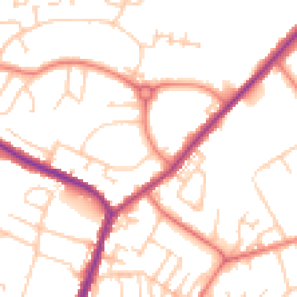
Daytime· 07:00 – 23:00
51.4dB

Night-time· 23:00 – 07:00
41.0dB