11 Fielding Street, Middleton, Manchester, M24 6BG
About 11 Fielding Street
11 Fielding Street is a mid-terrace house in Middleton, Manchester, Manchester (M24 6BG). It has a recorded floor area of 84 m² (around 904 sq ft), construction records dating it to 1976-1982 and council tax band A. The latest certificate (March 2024) shows a C (score 75), near the top of the C band. The rating has held steady at C across 2 certificates since November 2012. Between certificates, lighting went from Average to Very Good. The recommended improvements would push it to B (score 89).
At 84 m² the property is well over the postcode median (64 m² across 37 EPCs), placing it in the larger end of the local stock.
Everything you need to know about 11 Fielding Street
The true value, the hidden risks and the full sale history, in one report.
Pick your report · every report is £14.99
One time fee only - money back guarantee

The data behind every report


Energy performance
EPC Rating
Property Improvements
Changes detected from historical EPC data
Heating controls upgraded for better temperature management
More low energy lighting installed
Get a survey for this property
Level 2 HomeBuyer Report
We've checked 10 risk factors against the available data for this property and believe a Level 2 HomeBuyer Report could be a suitable option for you.
From £495 · Includes VAT
Planning history
11 Fielding Street has no planning applications on record.
But the area is active
3 notable applications nearby — larger schemes and conversions that could reshape the street. The report maps them all.
Sales history & valuation
11 Fielding Street has no Land Registry sales on file, suggesting it has stayed in the same hands since registration began.
£144,000
Modelled from EPC, postcode comparables.
No sales recorded with HM Land Registry
That can mean the property has never traded since the registry began publishing in 1995, was a new build that hasn't been registered yet, or is held in the same hands long-term.
Median price across the last 5 sales in M24 6BG: £99,995 (2025–2024).
Nearby sales in M24 6BG
70 Fielding Street, Middleton, Manchester, M24 6BG
Sold Sept 2025
£147,00087a, Fielding Street, Middleton, Manchester, M24 6BG
Sold May 2025
£99,99576 Fielding Street, Middleton, Manchester, M24 6BG
Sold Sept 2024
£130,00087c, Fielding Street, Middleton, Manchester, M24 6BG
Sold Jan 2024
£90,00090 Fielding Street, Middleton, Manchester, M24 6BG
Sold Oct 2023
£120,000
Versus other Fielding Street homes
On habitable rooms, 11 Fielding Street runs well behind the street norm.
EPC Rating
75 (C)
Street avg 71 (C)
Floor Area
84 m²
Street avg 71 m²
CO₂ Emissions
2.4 t/year
Street avg 2.1 t/year
Habitable Rooms
3 rooms
Street avg 4 rooms
Everything you need to know about 11 Fielding Street
The true value, the hidden risks and the full sale history, in one report.
Pick your report · every report is £14.99
One time fee only - money back guarantee
The data behind every report
Similar properties nearby
1 Clough Court, Middleton
M24 6AQ
1 Fielding Street, Middleton
M24 6BG
1 Kingswood Road, Middleton
M24 6FU
1 Kirkstall Road, Middleton
M24 6EU
1 Easby Road, Middleton
M24 6FT
1 New Lane, Middleton
M24 6DE
1 Lawson Close, Middleton
M24 6JH
1 Hollins Green, Middleton
M24 6EL
The neighbourhood at a glance
Crime
1/mo
Steady year-on-year across the wider district.
Nearest stop
0.2 km
Hollin Lane — bus stop.
Closest school
0.4 km
Middleton Parish Church School. 25 schools nearby.
Go deeper on the local area
A Local Area report breaks down crime, transport links, schools and air quality in depth.
Road noise across the postcode
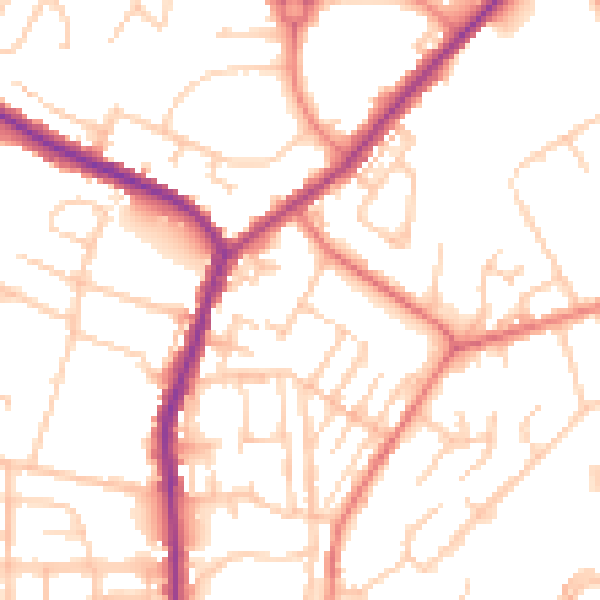
Daytime· 07:00 – 23:00
52.0dB

Night-time· 23:00 – 07:00
41.3dB