1 Ash Walk, Middleton, Manchester, M24 1JY
About 1 Ash Walk
1 Ash Walk is a property in Middleton, Manchester, Manchester (M24 1JY). It has council tax band D.
Energy performance
No EPC on record
This property doesn't have an Energy Performance Certificate yet. An EPC is required to sell or let — and unlocks our automated valuation.
Get a survey for this property
Level 2 HomeBuyer Report
We've checked 10 risk factors against the available data for this property and believe a Level 2 HomeBuyer Report could be a suitable option for you.
Planning history
No planning applications are recorded against 1 Ash Walk, Middleton, Manchester, M24 1JY. The full report also covers planning activity across the surrounding area.
Sales history & valuation
No sales recorded with HM Land Registry
That can mean the property has never traded since the registry began publishing in 1995, was a new build that hasn't been registered yet, or is held in the same hands long-term.
Median price across the last 5 sales in M24 1JY: £315,000 (2025–2023).
Nearby sales in M24 1JY
6 Ash Walk, Middleton, Manchester, M24 1JY
Sold Feb 2025
£330,0005 Ash Walk, Middleton, Manchester, M24 1JY
Sold Sept 2024
£535,0007 Ash Walk, Middleton, Manchester, M24 1JY
Sold Mar 2024
£295,0004 Ash Walk, Middleton, Manchester, M24 1JY
Sold Oct 2023
£315,00018 Ash Walk, Middleton, Manchester, M24 1JY
Sold Jan 2023
£260,000
Similar properties nearby
1 Adelaide Street, Middleton
M24 1BF
1 Albert Street, Middleton
M24 1BJ
1 Alcester Close, Middleton
M24 1HJ
1 Alkrington Green, Middleton
M24 1ED
1 Alkrington Hall Road North, Middleton
M24 1SZ
1 Alkrington Hall Road South, Middleton
M24 1NJ
1 Alresford Road, Middleton
M24 1WU
1 Andover Avenue, Middleton
M24 1JG
The neighbourhood at a glance
Crime
1/mo
Steady year-on-year across the wider district.
Nearest stop
0.2 km
Manor Road — bus stop.
Closest school
0.2 km
Alkrington Primary School. 35 schools nearby.
Road noise across the postcode
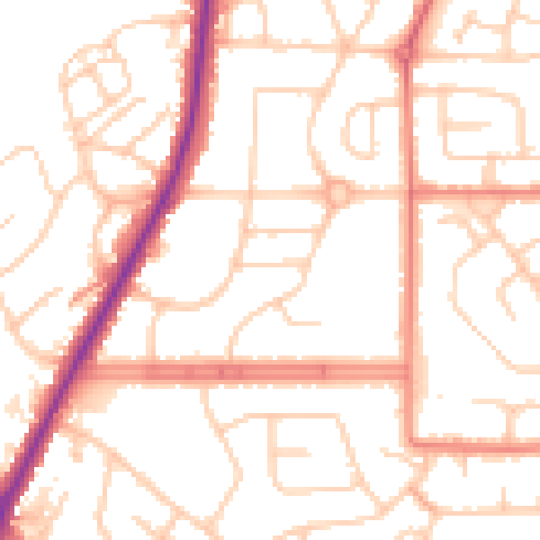
Daytime· 07:00 – 23:00
52.2dB

Night-time· 23:00 – 07:00
41.9dB