13 Cheltenham Road, Middleton, Manchester, M24 1HR
About 13 Cheltenham Road
13 Cheltenham Road is a three-bedroom property in Middleton, Manchester, Manchester (M24 1HR). It has council tax band D.
It hasn't traded since October 1997, a hold of 29 years that's notably long for the area. Only one transfer is on record with HM Land Registry, suggesting it has stayed in the same hands for a long time.
What this property has
Inside
- Bedrooms3
Everything you need to know about 13 Cheltenham Road
The true value, the hidden risks and the full sale history, in one report.
Pick your report · every report is £14.99
One time fee only - money back guarantee

The data behind every report


Energy performance
No EPC on record
This property doesn't have an Energy Performance Certificate yet. An EPC is required to sell or let — and unlocks our automated valuation.
Get a survey for this property
Level 2 HomeBuyer Report
We've checked 10 risk factors against the available data for this property and believe a Level 2 HomeBuyer Report could be a suitable option for you.
Planning history
13 Cheltenham Road has no planning applications on record.
But the area is active
5 notable applications nearby — larger schemes and conversions that could reshape the street. The report maps them all.
Sales history & valuation
13 Cheltenham Road has been held in the same hands since before 2000.
£69,000
Recorded with HM Land Registry.
Sales timeline
31 October 1997Most recent
£69,000
Median price across the last 5 sales in M24 1HR: £355,000 (2025–2024).
Nearby sales in M24 1HR
57 Cheltenham Road, Middleton, Manchester, M24 1HR
Sold Sept 2025
£340,00059 Cheltenham Road, Middleton, Manchester, M24 1HR
Sold Jun 2025
£355,00047 Cheltenham Road, Middleton, Manchester, M24 1HR
Sold May 2024
£370,00043 Cheltenham Road, Middleton, Manchester, M24 1HR
Sold May 2024
£380,00019 Cheltenham Road, Middleton, Manchester, M24 1HR
Sold Feb 2024
£330,000
Everything you need to know about 13 Cheltenham Road
The true value, the hidden risks and the full sale history, in one report.
Pick your report · every report is £14.99
One time fee only - money back guarantee
The data behind every report
Similar properties nearby
1 Alresford Road, Middleton
M24 1WU
1 Banbury Road, Middleton
M24 1QB
1 Birch Avenue, Middleton
M24 1DR
1 Brookside Crescent, Middleton
M24 1RP
1 Brow Avenue, Middleton
M24 1UL
1 Cheltenham Green, Middleton
M24 1HQ
1 Colwyn Avenue, Middleton
M24 1ER
1 Andover Avenue, Middleton
M24 1JG
The neighbourhood at a glance
Crime
1/mo
Steady year-on-year across the wider district.
Nearest stop
0.2 km
Kingsway — bus stop.
Closest school
0.3 km
Alkrington Primary School. 39 schools nearby.
Go deeper on the local area
A Local Area report breaks down crime, transport links, schools and air quality in depth.
Road noise across the postcode
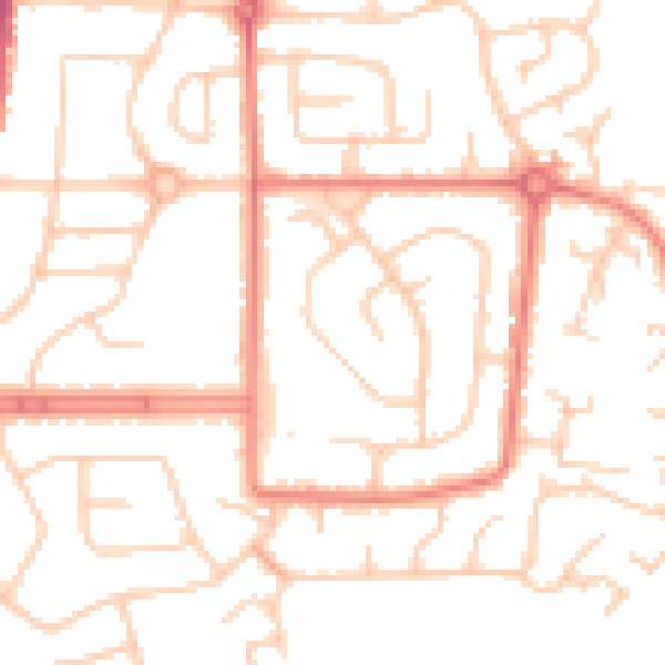
Daytime· 07:00 – 23:00
50.8dB

Night-time· 23:00 – 07:00
39.6dB