76 Kirkway, Middleton, Manchester, M24 1EL
About 76 Kirkway
76 Kirkway is a property in Middleton, Manchester, Manchester (M24 1EL). It has council tax band C.
Untraded for 28 years, with the last transfer in March 1998. Across 1997–1998, sale prices on this property compounded at 10.1% per year.
Everything you need to know about 76 Kirkway
The true value, the hidden risks and the full sale history, in one report.
Pick your report · every report is £14.99
One time fee only - money back guarantee

The data behind every report


Energy performance
No EPC on record
This property doesn't have an Energy Performance Certificate yet. An EPC is required to sell or let — and unlocks our automated valuation.
Get a survey for this property
Level 2 HomeBuyer Report
We've checked 10 risk factors against the available data for this property and believe a Level 2 HomeBuyer Report could be a suitable option for you.
Planning history
76 Kirkway has no planning applications on record.
But the area is active
5 notable applications nearby — larger schemes and conversions that could reshape the street. The report maps them all.
Sales history & valuation
76 Kirkway changed hands twice within eighteen months — unusual for the area.
£65,995
Growth on file: 10.1% per year over 1 year.
Sales timeline
23 March 1998Most recent
£65,995
+10.1%21 November 1997
£59,950
Median price across the last 5 sales in M24 1EL: £265,000 (2024–2022).
Nearby sales in M24 1EL
84 Kirkway, Middleton, Manchester, M24 1EL
Sold Aug 2024
£270,00090 Kirkway, Middleton, Manchester, M24 1EL
Sold Feb 2024
£233,00042 Kirkway, Middleton, Manchester, M24 1EL
Sold Sept 2023
£257,00066 Kirkway, Middleton, Manchester, M24 1EL
Sold Aug 2023
£457,50068 Kirkway, Middleton, Manchester, M24 1EL
Sold Nov 2022
£265,000
Everything you need to know about 76 Kirkway
The true value, the hidden risks and the full sale history, in one report.
Pick your report · every report is £14.99
One time fee only - money back guarantee
The data behind every report
Similar properties nearby
1 Adelaide Street, Middleton
M24 1BF
1 Albert Street, Middleton
M24 1BJ
1 Alcester Close, Middleton
M24 1HJ
1 Alkrington Green, Middleton
M24 1ED
1 Alkrington Hall Road North, Middleton
M24 1SZ
1 Alkrington Hall Road South, Middleton
M24 1NJ
1 Alresford Road, Middleton
M24 1WU
1 Andover Avenue, Middleton
M24 1JG
The neighbourhood at a glance
Crime
1/mo
Steady year-on-year across the wider district.
Nearest stop
0.1 km
St Peter's School — bus stop.
Closest school
0.1 km
St Peter's Roman Catholic Primary School, Rochdale. 34 schools nearby.
Go deeper on the local area
A Local Area report breaks down crime, transport links, schools and air quality in depth.
Road noise across the postcode
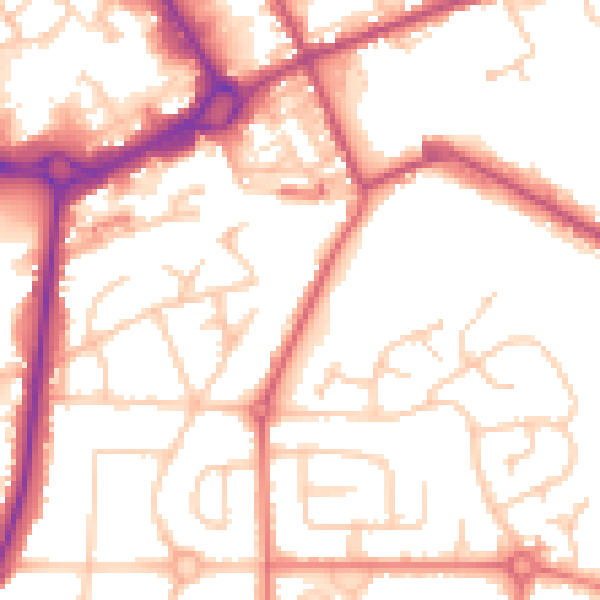
Daytime· 07:00 – 23:00
53.4dB

Night-time· 23:00 – 07:00
43.8dB