46 Buckingham Road, Manchester, M21 0RR
About 46 Buckingham Road
46 Buckingham Road is a three-bedroom semi-detached house in Manchester (M21 0RR). It has a recorded floor area of 81 m² (around 868 sq ft), construction records dating it to 1900-1929 and council tax band C. The latest certificate (April 2010) shows a C (score 70). The latest certificate is from April 2010, so improvements made since then won't be reflected.
Untraded for 16 years, with the last transfer in September 2010. Today's modelled estimate of £403,000 sits 101.6% above the 2010 sale of £199,950.
Know exactly what you're buying at 46 Buckingham Road
Before you offer, see what the listing won't tell you, the true value, the red flags and the full history.
Already flagged here
Valuation
against the asking price
Risks
planning & flood
Sold prices
similar homes nearby
Trends
the local market
What this property has
Inside
- Bedrooms3
Energy performance
46 Buckingham Road's EPC is over a decade old — improvements since won't be reflected.
EPC Expired
This certificate is over 10 years old and is no longer valid.Expired 19 Apr 2020
EPC Rating
Planning history
46 Buckingham Road has no planning applications on record.
Notable planning nearby
4applications of note in the surrounding area
We flagged 1 thing worth checking at 46 Buckingham Road
Independent checks surfaced things a buyer would want to understand before offering. The report explains each one in full, with the underlying data and what to ask.
- Larger development activity nearby
30-day money-back guarantee
Sales history & valuation
£403,000
Modelled from EPC, postcode comparables.
£199,950
Recorded with HM Land Registry.
Sales timeline
29 September 2010Most recent
£199,950
Median price across the last 2 sales in M21 0RR: £241,250 (2024–1998).
Everything we know about 46 Buckingham Road, in one report
What it's really worth, what could be wrong, and the planning, sales and area data in full.
What we flagged
- Larger development activity nearby

Similar properties nearby
1 Desford Avenue
M21 0TG
1 Marchwood Avenue
M21 0TZ
1 Kildare Road
M21 0YG
1 Lisburn Avenue
M21 0TQ
1 Selborne Road
M21 0BL
1 Clarendon Road West
M21 0RN
10 Clarendon Road West
M21 0RW
1 White Moss Avenue
M21 0XU
The neighbourhood at a glance
Rail-style transport is unusually close for this postcode.
Nearest stop
0.1 km
Abbotsford Road — bus stop.
Closest school
0.4 km
Oswald Road Primary School. 43 schools nearby.
Go deeper on the local area
The full report breaks down crime, transport links, schools and air quality in depth.
Road noise across the postcode
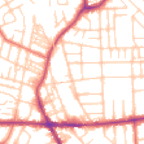
Daytime· 07:00 – 23:00
53.1dB

Night-time· 23:00 – 07:00
42.2dB