1 Byrom Parade, Manchester, M19 3HH
About 1 Byrom Parade
1 Byrom Parade is a property in Manchester (M19 3HH).
2 planning records sit against the property, 2 approved, 0 refused. Past consents include an extension, meaningful when judging how the property has evolved. Across 2003–2023, sale prices on this property compounded at 2% per year. Last sale on file: £74,950 in August 2023.
Know exactly what you're buying at 1 Byrom Parade
Before you offer, see what the listing won't tell you, the true value, the red flags and the full history.
Valuation
against the asking price
Risks
planning & flood
Sold prices
similar homes nearby
Trends
the local market
Energy performance
No EPC on record
This property doesn't have an Energy Performance Certificate yet. An EPC is required to sell or let — and unlocks our automated valuation.
Planning history
Council records include a two-storey rear extension at 1 Byrom Parade.
- Dec 2024ConditionsIn report
Discharge of Conditions 3 (Materials), 6 (Security) and 7 (Waste) attached to planning permission 140786/FO/2024
- Agent
- MD Design Consultancy
- Documents
- 5 docs on file
- Reference
- CDN/24/0941
- Sept 2024ExtensionFullIn report
Extension: Two storey · Rear of property
Erection of two storey rear extension and external staircase
- Agent
- MD Design Consultancy
- Documents
- 11 docs on file
- Reference
- 140786/FO/2024
What's in 1 Byrom Parade, Manchester, M19 3HH's planning history?
Refusals, disputes and full decisions on this property and nearby, in the report.
Sales history & valuation
£74,950
Growth on file: 2.0% per year over 20 years.
Sales timeline
24 August 2023Most recent
£74,950
+49.9%over 20 years17 June 2003
£50,000
Median price across the last 5 sales in M19 3HH: £87,000 (2022–2005).
Everything we know about 1 Byrom Parade, in one report
What it's really worth, what could be wrong, and the planning, sales and area data in full.
- Am I paying too much?
- Is something wrong with it?
- Is the agent's story true?
- Will it hold its value?

Similar properties nearby
The neighbourhood at a glance
Rail-style transport is unusually close for this postcode.
Nearest stop
0.1 km
Broom Lane — bus stop.
Closest school
0.4 km
Chapel Street Community Primary School. 53 schools nearby.
Go deeper on the local area
The full report breaks down crime, transport links, schools and air quality in depth.
Road noise across the postcode
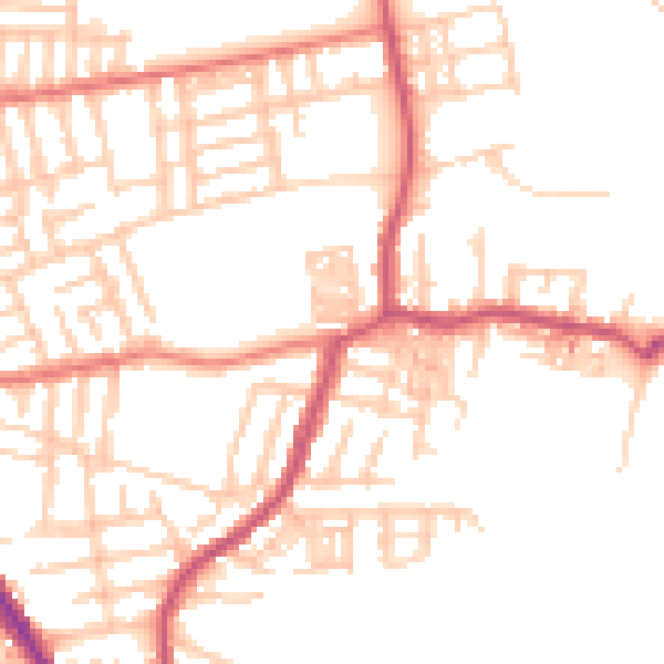
Daytime· 07:00 – 23:00
50.6dB

Night-time· 23:00 – 07:00
40.2dB