26 Bowler Street, Levenshulme, Manchester, M19 2TY
About 26 Bowler Street
26 Bowler Street is a property in Levenshulme, Manchester, Manchester (M19 2TY). It has council tax band A.
Sold February 2023 for £90,000.
Know exactly what you're buying at 26 Bowler Street
Before you offer, see what the listing won't tell you, the true value, the red flags and the full history.
Already flagged here
Valuation
against the asking price
Risks
planning & flood
Sold prices
similar homes nearby
Trends
the local market
Energy performance
No EPC on record
This property doesn't have an Energy Performance Certificate yet. An EPC is required to sell or let — and unlocks our automated valuation.
Planning history
26 Bowler Street has no planning applications on record.
Notable planning nearby
9applications of note in the surrounding area
We flagged 1 thing worth checking at 26 Bowler Street
Independent checks surfaced things a buyer would want to understand before offering. The report explains each one in full, with the underlying data and what to ask.
- Signs of HMO activity in the area
30-day money-back guarantee
Sales history & valuation
£90,000
Recorded with HM Land Registry.
Sales timeline
24 February 2023Most recent
£90,000
Median price across the last 5 sales in M19 2TY: £185,000 (2025–2023).
Nearby sales in M19 2TY
4 Bowler Street, Levenshulme, Manchester, M19 2TY
Sold Sept 2025
£145,00052 Bowler Street, Levenshulme, Manchester, M19 2TY
Sold Dec 2024
£150,0008 Bowler Street, Levenshulme, Manchester, M19 2TY
Sold Nov 2024
£185,00040 Bowler Street, Levenshulme, Manchester, M19 2TY
Sold Apr 2024
£220,00044 Bowler Street, Levenshulme, Manchester, M19 2TY
Sold Dec 2023
£223,000
Everything we know about 26 Bowler Street, in one report
What it's really worth, what could be wrong, and the planning, sales and area data in full.
What we flagged
- Signs of HMO activity in the area

Similar properties nearby
The neighbourhood at a glance
Rail-style transport is unusually close for this postcode.
Nearest stop
0.2 km
Broom Lane — bus stop.
Closest school
0.2 km
St Andrew's CofE Primary School. 48 schools nearby.
Go deeper on the local area
The full report breaks down crime, transport links, schools and air quality in depth.
Road noise across the postcode
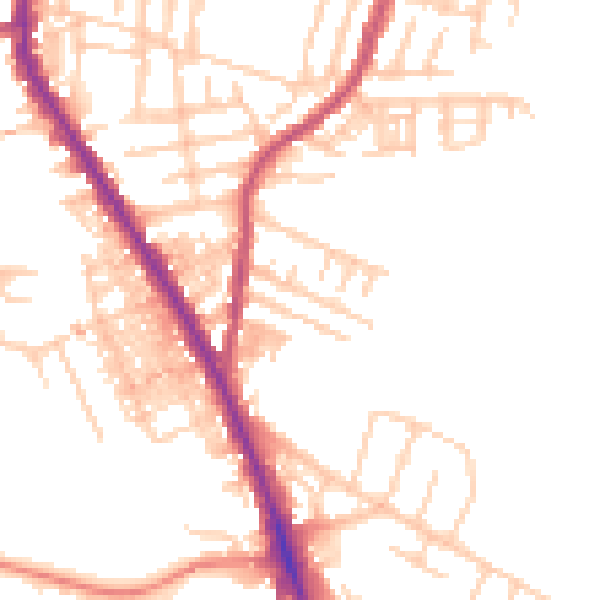
Daytime· 07:00 – 23:00
50.0dB

Night-time· 23:00 – 07:00
40.6dB