11 St Marys Street, Hulme, Manchester, M15 5WB
About 11 St Marys Street
11 St Marys Street is an end-of-terrace house in Hulme, Manchester, Manchester (M15 5WB). It has a recorded floor area of 67 m² (around 724 sq ft), construction records dating it to 1996-2002 and council tax band B. The latest certificate (July 2010) shows a C (score 69), just inside the C band. The latest certificate is from July 2010, so improvements made since then won't be reflected.
It hasn't traded since November 2010, a hold of 16 years that's notably long for the area. Across 2000–2010, sale prices on this property compounded at 6.9% per year. Today's modelled estimate of £226,000 sits 67.4% above the 2010 sale of £135,000. At 67 m² it's 28.1% larger than the typical home in the postcode (53 m² median across 30 EPCs).
Everything you need to know about 11 St Marys Street
The true value, the hidden risks and the full sale history, in one report.
30-day money-back guarantee

The data behind every report


Energy performance
11 St Marys Street's EPC is over a decade old — improvements since won't be reflected.
EPC Expired
This certificate is over 10 years old and is no longer valid.Expired 19 Jul 2020
EPC Rating
Planning history
11 St Marys Street has no planning applications on record.
The full report still covers planning activity across the surrounding area.
Sales history & valuation
11 St Marys Street's estimated value is more than triple its earliest registered sale price (2000).
£226,000
Modelled from EPC, postcode comparables and a sale-price growth of 6.9% per year over 10 years.
£135,000
Growth on file: 6.9% per year over 10 years.
Sales timeline
5 November 2010Most recent
£135,000
+93.0%over 9 years8 December 2000
£69,950
Median price across the last 5 sales in M15 5WB: £140,000 (2025–2023).
Nearby sales in M15 5WB
9e, St Marys Street, Hulme, Manchester, M15 5WB
Sold Sept 2025
£150,00049 St Marys Street, Hulme, Manchester, M15 5WB
Sold Oct 2024
£140,00047 St Marys Street, Hulme, Manchester, M15 5WB
Sold Mar 2024
£130,00019 St Marys Street, Hulme, Manchester, M15 5WB
Sold Dec 2023
£185,00055 St Marys Street, Hulme, Manchester, M15 5WB
Sold Oct 2023
£134,950
Versus other St Marys Street homes
11 St Marys Street is notably below the street on co₂ emissions.
Price per m²
£2,007
Street avg £2,182
Floor Area
67 m²
Street avg 60 m²
Habitable Rooms
5 rooms
Street avg 4 rooms
CO₂ Emissions
3.0 t/year
Street avg 2.2 t/year
Everything you need to know about 11 St Marys Street
The true value, the hidden risks and the full sale history, in one report.
30-day money-back guarantee
The data behind every report
Similar properties nearby
The neighbourhood at a glance
Crime
1/mo
Steady year-on-year across the wider district.
Nearest stop
0.1 km
Loreto College — bus stop.
Closest school
0.2 km
Loreto College. 47 schools nearby.
Go deeper on the local area
The full report breaks down crime, transport links, schools and air quality in depth.
Road noise across the postcode
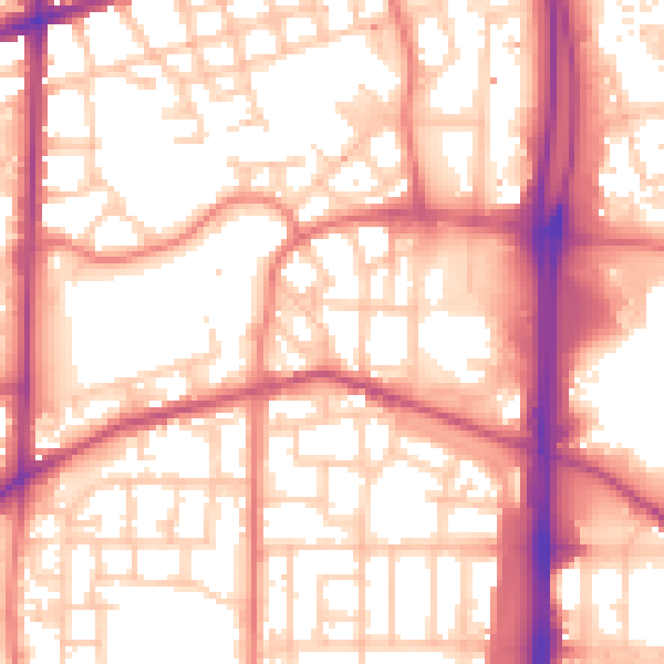
Daytime· 07:00 – 23:00
56.9dB
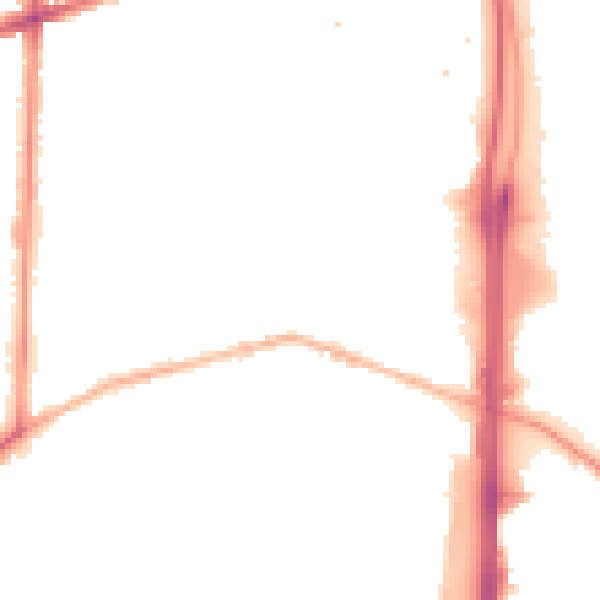
Night-time· 23:00 – 07:00
47.0dB