4 Anvil Place, Manchester, M15 5QL
About 4 Anvil Place
4 Anvil Place is a mid-terrace house in Manchester (M15 5QL). It has a recorded floor area of 95 m² (around 1023 sq ft). The latest certificate (February 2018) returns a B (score 83), comfortably above the UK average. The recommended improvements would push it to A (score 94).
At 95 m² the property is well over the postcode median (69 m² across 32 EPCs), placing it in the larger end of the local stock. Across 2018–2021, sale prices on this property compounded at 1.3% per year. Today's modelled estimate of £337,000 is 34.8% above the 2021 sale price. Last sale on file: £250,000 in June 2021. That sale was during the post-pandemic price surge, when transactions cleared materially above pre-2020 trend.
Everything you need to know about 4 Anvil Place
The true value, the hidden risks and the full sale history, in one report.
30-day money-back guarantee

The data behind every report


Energy performance
4 Anvil Place's carbon output is low for the local stock.
EPC Rating
Planning history
4 Anvil Place has no planning applications on record.
The full report still covers planning activity across the surrounding area.
Sales history & valuation
The latest sale landed in the post-pandemic price surge — useful context when reading the figure.
£337,000
Modelled from EPC, postcode comparables and a sale-price growth of 1.3% per year over 3 years.
£250,000
Growth on file: 1.3% per year over 3 years.
Sales timeline
29 June 2021Most recent
£250,000
+4.2%over 3 years29 April 2018
£240,000
Median price across the last 5 sales in M15 5QL: £192,500 (2025–2023).
Nearby sales in M15 5QL
Flat 6, 6 Anvil Place, Manchester, M15 5QL
Sold Mar 2025
£192,500Flat 9, 6 Anvil Place, Manchester, M15 5QL
Sold Nov 2024
£180,000Flat 20, 6 Anvil Place, Manchester, M15 5QL
Sold Jul 2024
£190,0001 Anvil Place, Manchester, M15 5QL
Sold Nov 2023
£280,000Flat 22, 6 Anvil Place, Manchester, M15 5QL
Sold Feb 2023
£245,000
Versus other Anvil Place homes
On price per m², 4 Anvil Place stands well clear of the street.
Price per m²
£2,632
Street avg £2,580
Floor Area
95 m²
Street avg 98 m²
CO₂ Emissions
1.4 t/year
Street avg 1.5 t/year
Years Held
5 years
Street avg 7 years
Everything you need to know about 4 Anvil Place
The true value, the hidden risks and the full sale history, in one report.
30-day money-back guarantee
The data behind every report
Similar properties nearby
The neighbourhood at a glance
Crime
1/mo
Steady year-on-year across the wider district.
Nearest stop
0.1 km
Chorlton Road — bus stop.
Closest school
0.3 km
St Mary's CofE Junior and Infant School. 45 schools nearby.
Go deeper on the local area
The full report breaks down crime, transport links, schools and air quality in depth.
Road noise across the postcode
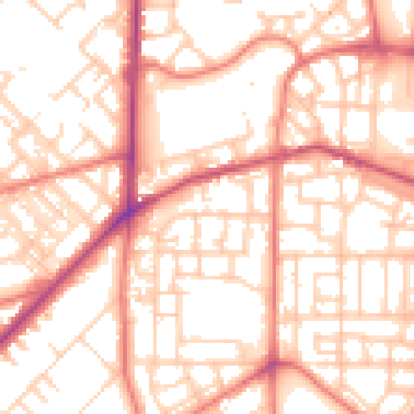
Daytime· 07:00 – 23:00
54.9dB

Night-time· 23:00 – 07:00
43.8dB