114 Bold Street, Hulme, Manchester, M15 5QH
About 114 Bold Street
114 Bold Street is an end-of-terrace house in Hulme, Manchester, Manchester (M15 5QH). It has a recorded floor area of 93 m² (around 1001 sq ft), construction records dating it to 2003-2006 and council tax band C. The latest certificate (July 2024) shows a C (score 75), near the top of the C band. The rating has held steady at C across 2 certificates since February 2013. The recommended improvements would push it to B (score 86).
At 93 m² the property is well over the postcode median (63 m² across 44 EPCs), placing it in the larger end of the local stock. Today's modelled estimate of £269,000 sits 79.3% above the 2013 sale of £150,000. On a £-per-square-foot basis, the last sale (£150/sq ft) was about 29.2% below the postcode norm. On the market in September 2013 and unlisted since — roughly 13 years.
Everything you need to know about 114 Bold Street
The true value, the hidden risks and the full sale history, in one report.
30-day money-back guarantee

The data behind every report


Energy performance
EPC Rating
Planning history
114 Bold Street has no planning applications on record.
The full report still covers planning activity across the surrounding area.
Sales history & valuation
114 Bold Street valuation sits well clear of the typical sold price in this postcode.
£269,000
Modelled from EPC, postcode comparables.
£150,000
Recorded with HM Land Registry.
Sales timeline
5 September 2013Most recent
£150,000
Median price across the last 5 sales in M15 5QH: £165,000 (2025–2023).
Nearby sales in M15 5QH
132 Bold Street, Hulme, Manchester, M15 5QH
Sold Aug 2025
£165,000130 Bold Street, Hulme, Manchester, M15 5QH
Sold Feb 2025
£315,00092 Bold Street, Hulme, Manchester, M15 5QH
Sold Sept 2024
£169,95066 Bold Street, Hulme, Manchester, M15 5QH
Sold Mar 2024
£155,00098 Bold Street, Hulme, Manchester, M15 5QH
Sold Mar 2023
£160,000
Versus other Bold Street homes
On price per m², 114 Bold Street runs well behind the street norm.
Price per m²
£1,613
Street avg £2,338
Floor Area
93 m²
Street avg 86 m²
Habitable Rooms
6 rooms
Street avg 5 rooms
CO₂ Emissions
2.6 t/year
Street avg 2.4 t/year
Everything you need to know about 114 Bold Street
The true value, the hidden risks and the full sale history, in one report.
30-day money-back guarantee
The data behind every report
Similar properties nearby
The neighbourhood at a glance
Crime
1/mo
Steady year-on-year across the wider district.
Nearest stop
0.2 km
Cornbrook Street — bus stop.
Closest school
0.2 km
Loreto College. 44 schools nearby.
Go deeper on the local area
The full report breaks down crime, transport links, schools and air quality in depth.
Road noise across the postcode
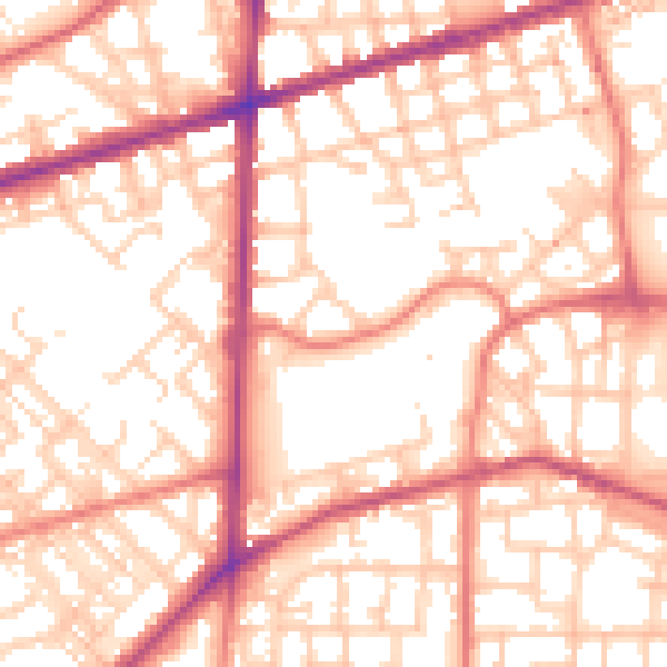
Daytime· 07:00 – 23:00
55.5dB

Night-time· 23:00 – 07:00
45.0dB