6 Bankwell Street, Manchester, M15 5LN
About 6 Bankwell Street
6 Bankwell Street is a mid-terrace house in Manchester (M15 5LN). It has a recorded floor area of 108 m² (around 1163 sq ft), construction records dating it to 2003-2006 and council tax band C. The latest certificate (November 2018) shows a C (score 73). The recommended improvements would push it to B (score 86).
At 108 m² the property is well over the postcode median (83 m² across 21 EPCs), placing it in the larger end of the local stock. Across 2005–2022, sale prices on this property compounded at 1.8% per year. Today's modelled estimate of £305,000 is 19.6% above the 2022 sale price. On a £-per-square-foot basis, the last sale (£219/sq ft) was about 20.2% above the typical sold price in the postcode. Last sale on file: £255,000 in April 2022. That sale was during the post-pandemic price surge, when transactions cleared materially above pre-2020 trend. One historical planning record sits against the property in 2011.
Everything you need to know about 6 Bankwell Street
The true value, the hidden risks and the full sale history, in one report.
30-day money-back guarantee

The data behind every report


Energy performance
EPC Rating
Planning history
- Feb 2011ConditionsIn report
Variation of condition No. 6 attached to planning permission 066945/FO/SOUTH1/03 to allow conversion of garage to additional living accommodation
- Agent
- Howard and Seddon Partnership
- Documents
- 8 docs on file
- Reference
- 095034/JO/2010/S1
What's in 6 Bankwell Street, Manchester, M15 5LN's planning history?
Refusals, disputes and full decisions on this property and nearby, in the report.
Sales history & valuation
The latest sale landed in the post-pandemic price surge — useful context when reading the figure.
£305,000
Modelled from EPC, postcode comparables and a sale-price growth of 1.8% per year over 17 years.
£255,000
Growth on file: 1.8% per year over 17 years.
Sales timeline
7 April 2022Most recent
£255,000
+33.5%over 16 years15 September 2005
£190,950
Median price across the last 5 sales in M15 5LN: £213,000 (2023–2020).
Nearby sales in M15 5LN
Versus other Bankwell Street homes
Years Held for 6 Bankwell Street lags the street by a wide margin.
Price per m²
£2,361
Street avg £2,164
Floor Area
108 m²
Street avg 94 m²
Habitable Rooms
5 rooms
Street avg 5 rooms
CO₂ Emissions
3.1 t/year
Street avg 2.5 t/year
Everything you need to know about 6 Bankwell Street
The true value, the hidden risks and the full sale history, in one report.
30-day money-back guarantee
The data behind every report
Similar properties nearby
The neighbourhood at a glance
Crime
1/mo
Steady year-on-year across the wider district.
Nearest stop
0.1 km
Yew Street — bus stop.
Closest school
0.3 km
Loreto College. 44 schools nearby.
Go deeper on the local area
The full report breaks down crime, transport links, schools and air quality in depth.
Road noise across the postcode
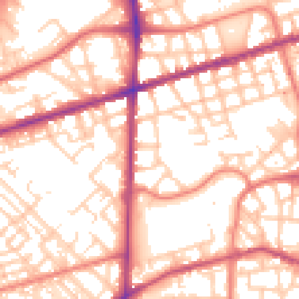
Daytime· 07:00 – 23:00
55.7dB

Night-time· 23:00 – 07:00
45.4dB