Flat 1, 17 Ancroft Street, Manchester, M15 5JW
About Flat 1
Flat 1 is an end-of-terrace house in Manchester (M15 5JW). It has a recorded floor area of 47 m² (around 506 sq ft), construction records dating it to 1996-2002 and council tax band A. At 47 m² this is the largest unit on EPC record across the building (42–47 m²). The building's EPC ratings span C to B, with this unit at the bottom. The latest certificate (September 2013) shows a C (score 75), near the top of the C band. The latest certificate is from September 2013, so improvements made since then won't be reflected.
Everything you need to know about Flat 1
The true value, the hidden risks and the full sale history, in one report.
30-day money-back guarantee

The data behind every report


Energy performance
Flat 1's carbon output is low for the local stock.
EPC Expired
This certificate is over 10 years old and is no longer valid.Expired 03 Sept 2023
EPC Rating
Planning history
Flat 1 has no planning applications on record.
The full report still covers planning activity across the surrounding area.
Sales history & valuation
Flat 1 has no Land Registry sales on file, suggesting it has stayed in the same hands since registration began.
£141,000
Modelled from EPC, postcode comparables.
No sales recorded with HM Land Registry
That can mean the property has never traded since the registry began publishing in 1995, was a new build that hasn't been registered yet, or is held in the same hands long-term.
Median price across the last 5 sales in M15 5JW: £140,000 (2025–2009).
Nearby sales in M15 5JW
Versus other Ancroft Street homes
Flat 1 outperforms the street on co₂ emissions by a wide margin.
EPC Rating
75 (C)
Street avg 74 (C)
Floor Area
47 m²
Street avg 50 m²
CO₂ Emissions
1.5 t/year
Street avg 1.9 t/year
Habitable Rooms
2 rooms
Street avg 3 rooms
Everything you need to know about Flat 1
The true value, the hidden risks and the full sale history, in one report.
30-day money-back guarantee
The data behind every report
Similar properties nearby
Apartment 1, 19 Royce Road
M15 5JQ
2a, Apartment 2, Old Birley Street
M15 5RG
19a, Flat 1, Mallow Street
M15 5GE
19a, Flat 5, Mallow Street
M15 5GE
19a, Flat 4, Mallow Street
M15 5GE
19a, Flat 3, Mallow Street
M15 5GE
19a, Flat 2, Mallow Street
M15 5GE
2b, Apartment 2, Old Birley Street
M15 5RG
The neighbourhood at a glance
Crime
1/mo
Steady year-on-year across the wider district.
Nearest stop
0.1 km
Hulme Park — bus stop.
Closest school
0.2 km
Rolls Crescent Primary School. 46 schools nearby.
Go deeper on the local area
The full report breaks down crime, transport links, schools and air quality in depth.
Road noise across the postcode
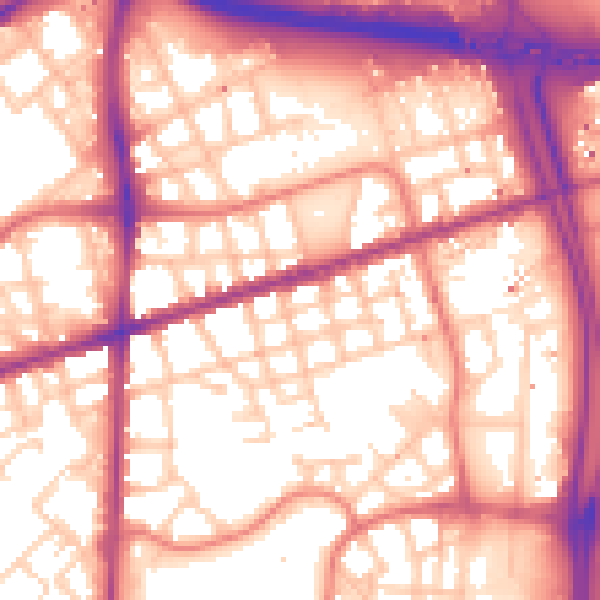
Daytime· 07:00 – 23:00
58.3dB

Night-time· 23:00 – 07:00
48.9dB