14 Tomlinson Street, Hulme, Manchester, M15 5FW
About 14 Tomlinson Street
14 Tomlinson Street is a mid-terrace house in Hulme, Manchester, Manchester (M15 5FW). It has a recorded floor area of 57 m² (around 614 sq ft), construction records dating it to 1996-2002 and council tax band A. The latest certificate (August 2022) shows a C (score 73). Earlier certificates rated it B (February 2011); the latest reading is one band lower. Between certificates, lighting went from Very Poor to Average; while roof efficiency dropped from Very Good to Good and hot-water efficiency dropped from Very Good to Good. The recommended improvements would push it to B (score 89).
Held since June 2004 — that's 22 years off the open market, well above the local norm. Today's modelled estimate of £209,000 sits 78.6% above the 2004 sale of £116,995.
Everything you need to know about 14 Tomlinson Street
The true value, the hidden risks and the full sale history, in one report.
30-day money-back guarantee

The data behind every report


Energy performance
EPC Rating
Property Improvements
Changes detected from historical EPC data
Hot water efficiency decreased
More low energy lighting installed
Planning history
14 Tomlinson Street has no planning applications on record.
The full report still covers planning activity across the surrounding area.
Sales history & valuation
14 Tomlinson Street valuation sits well clear of the typical sold price in this postcode.
£209,000
Modelled from EPC, postcode comparables.
£116,995
Recorded with HM Land Registry.
Sales timeline
29 June 2004Most recent
£116,995
Median price across the last 5 sales in M15 5FW: £192,000 (2025–2018).
Nearby sales in M15 5FW
2 Tomlinson Street, Hulme, Manchester, M15 5FW
Sold Aug 2025
£270,0008 Tomlinson Street, Hulme, Manchester, M15 5FW
Sold May 2023
£205,0006 Tomlinson Street, Hulme, Manchester, M15 5FW
Sold Jan 2023
£192,00024 Tomlinson Street, Hulme, Manchester, M15 5FW
Sold Feb 2021
£165,00022 Tomlinson Street, Hulme, Manchester, M15 5FW
Sold Apr 2018
£185,000
Versus other Tomlinson Street homes
14 Tomlinson Street is notably below the street on habitable rooms.
Price per m²
£2,053
Street avg £2,364
Floor Area
57 m²
Street avg 63 m²
Habitable Rooms
3 rooms
Street avg 5 rooms
CO₂ Emissions
1.8 t/year
Street avg 2.0 t/year
Everything you need to know about 14 Tomlinson Street
The true value, the hidden risks and the full sale history, in one report.
30-day money-back guarantee
The data behind every report
Similar properties nearby
The neighbourhood at a glance
Crime
1/mo
Steady year-on-year across the wider district.
Nearest stop
0.1 km
Hulme Park — bus stop.
Closest school
0.2 km
Rolls Crescent Primary School. 44 schools nearby.
Go deeper on the local area
The full report breaks down crime, transport links, schools and air quality in depth.
Road noise across the postcode
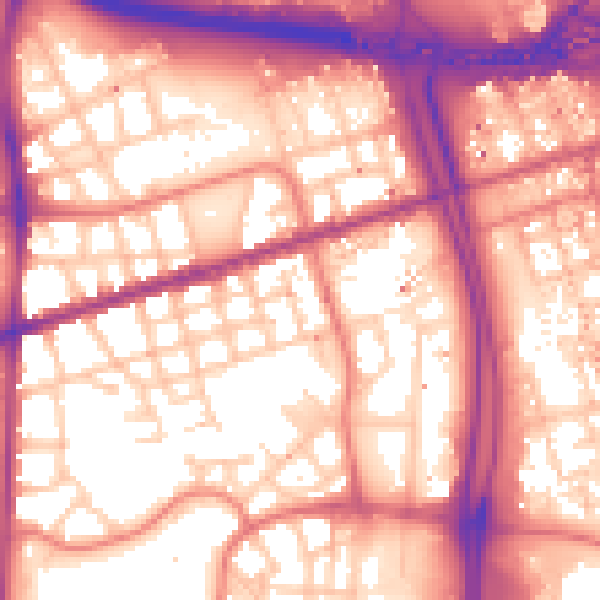
Daytime· 07:00 – 23:00
59.1dB

Night-time· 23:00 – 07:00
49.8dB